Spodnje Stranice (graves of hundred hostages) - Stolpnik (via Grofov štant)
Starting point: Spodnje Stranice (graves of hundred hostages) (413 m)
| Lat/Lon: | 46,349°N 15,34653°E |
| |
Name of path: via Grofov štant
Time of walking: 2 h 10 min
Difficulty: easy marked way
Altitude difference: 599 m
Altitude difference po putu: 630 m
Map:
Recommended equipment (summer):
Recommended equipment (winter): ice axe, crampons
Views: 150
 | 1 person likes this post |
Access to the starting point:
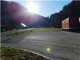
a) Leave the Ljubljana - Maribor motorway at exit Celje East, then follow the signs for Vojnik and then Frankolovo and Slovenske Konjice. Follow the road to Spodnje Stranice, where you will see a parking lot on the left side of the road, next to the red mountain direction signs.
b) Leave the Maribor - Ljubljana motorway at the Slovenske Konjice exit, then follow the signs for Slovenske Konjice and later Stranice and Vojnik. From the roundabout at Stranice, continue straight ahead and drive to Spodnje Stranice, where you will see a parking lot on the right side of the road, next to the red mountain direction signs.
Path description:
From the parking lot, take the path in the direction of Stolpnik and initially continue along the main road in the direction of Celje. Soon we will come to a small crossroads, where we go left on a side road, along which the markings continue, and we continue past some houses. Before the small bridge, an unmarked forest road branches off to the right, which also leads to the Štepih hunting lodge, and we continue straight on the marked road, which leads us higher up past the Stranice ponds and past the Rogla water bottling plant. We continue straight on at a few small crossroads, and start climbing a little steeper behind the chapel. Higher up, we reach an asphalt road where we merge with the Stranice trail, and we continue straight on, passing the chapel and quickly arriving at the Kersnik homestead, after which we turn right onto a side road. On the other side of the homestead, the signs for Stolpnik direct us left to cart track, and after a few steps right with cart track up a marked footpath. The markings become more frequent as we follow them as we climb through the forest. Higher up, we reach a forest road, which we just cross (right - hunting lodge Štepih and Stolpnik past the hunting lodge) and continue our ascent on a gradually more and more winding path. Soon the path starts to turn more and more to the left, where it becomes more overgrown and less marked. Along the path, which crosses occasionally overgrown slopes for some time, you can see some markings for the XIVth Division route. This trail then joins the road, which is followed to the left, and we follow it to a nearby crossroads (Grofof štant), at which there is a marked crossroads.
Continue sharp right in the direction of Stolpnik (Slovenske Konjice to the left, Vojnik and Dramlje to the right), which is about half an hour's walk away. The path ahead begins to climb steeply, then for a short time it completely lays down. There is a slight descent and then a moderate climb of a few minutes and the path, which mostly passes through dense forest, quickly leads us to the top, where a 25 m high lookout tower stands.

Pictures:
 1
1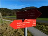 2
2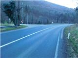 3
3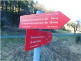 4
4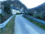 5
5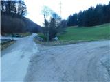 6
6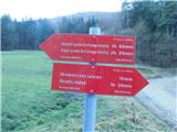 7
7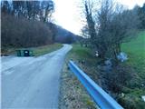 8
8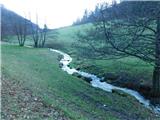 9
9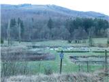 10
10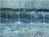 11
11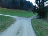 12
12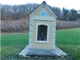 13
13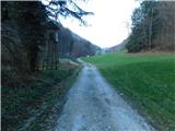 14
14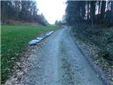 15
15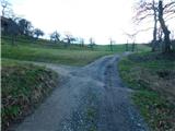 16
16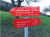 17
17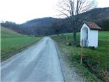 18
18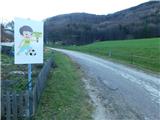 19
19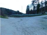 20
20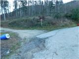 21
21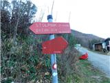 22
22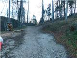 23
23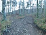 24
24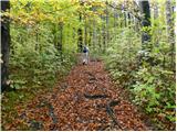 25
25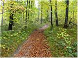 26
26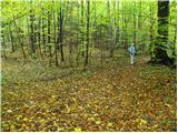 27
27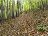 28
28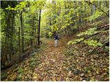 29
29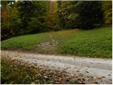 30
30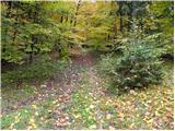 31
31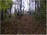 32
32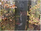 33
33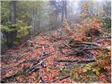 34
34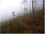 35
35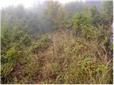 36
36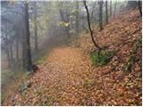 37
37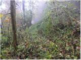 38
38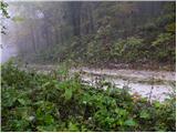 39
39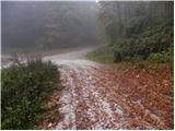 40
40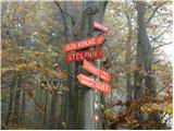 41
41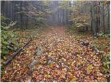 42
42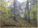 43
43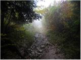 44
44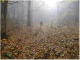 45
45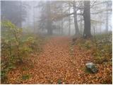 46
46 47
47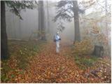 48
48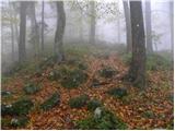 49
49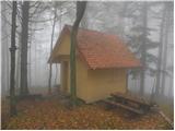 50
50 51
51 52
52
Discussion about the trail Spodnje Stranice (graves of hundred hostages) - Stolpnik (via Grofov štant)