Srednja vas - Koča na Uskovnici (Za Ribnico)
Starting point: Srednja vas (583 m)
| Lat/Lon: | 46,2975°N 13,9231°E |
| |
Name of path: Za Ribnico
Time of walking: 1 h 40 min
Difficulty: easy marked way
Altitude difference: 571 m
Altitude difference po putu: 585 m
Map: TNP 1:50.000
Recommended equipment (summer):
Recommended equipment (winter): ice axe, crampons
Views: 9.690
 | 1 person likes this post |
Access to the starting point:
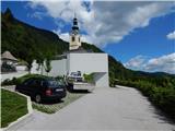
From the motorway Ljubljana - Jesenica take the exit Lesce and follow the road towards Bled and on to Bohinjska Bistrica. Just before Bohinjska Bistrica, at Bitnje, take a sharp right in the direction of Pokljuka. After a short climb, the road flattens out and quickly leads into the Upper Bohinj Valley. Here, at the crossroads, continue left (Pokljuka on the right) and follow the road to Srednja vas. Here, in the second part of the village, you will see signs for St Martin's Church, which direct you to the right onto a narrower and rather steep road, which then quickly leads to the church and the primary school. Park in a suitable place next to the school or church.
Path description:
From the church parking lot, walk a few steps down to the primary school, and from there continue towards the viewpoint on Kresu. The way forward leads us along a narrower asphalt road, which quickly leads to a larger water reservoir, where we see signs for Uskovnica. Continue along cart track, which turns into a forest, and at the right-hand bend, step out of the forest and a beautiful view of Rudnica and part of the Upper Bohinj valley opens up. Continue along cart track, which leads through a slightly narrower passage, then in a cross-climb to a place where you reach the road leading to Uskovnica. The road reaches the beautifully landscaped lookout point at Kres, from which a view opens up towards Srednji vas, the Upper Bohinj valley and the Lower Bohinj mountains in the background. Continue along the road for a short distance, and then at the end of a gentle left-hand bend, signs for Uskovnica direct you right to cart track, which leads you through the woods, lane bushes, and higher up through the woods again. A few minutes higher, we reach the dirt road again, but this time we leave it immediately as we continue in the direction of the footpath to Uskovnica. Cart track soon forks, and we continue along the left one, where we see a marker on a power pole. Continue along the power line for a while and follow the markings. Soon a path branches off to the left, leading to Uskovnica via Lom, and we continue on the path, which turns slightly right and passes onto the steep slopes of the area called Za Ribnico (Ribnica is a stream deep below us). Higher up, we reach the newer cart track or logging trail, and follow it to the right. The newer logging trail ends after a few minutes and continues to cross the slopes to the right. A little further on, at a small crossroads, continue along the upper left path, along which there are signs for Uskovnica and which is visibly more beaten. Further on, climb a little steeper along the path, from which an unmarked path branches off a little higher up towards Lom (the sign says "cheese, cottage cheese, milk and more").
Continue again in the direction of Uskovnica, then in a few minutes reach a macadam road (reach the part of the road where it is already closed to public traffic), which you follow to the right. Once on the road, join the trail from Stara Fužina, the trail from Srednja vas via Lom and the trail from the starting point or Lom parking lot. The winding macadam road leads quickly to the cottages on Uskovnica, and then, just past the water trough, leave it and continue left on cart track towards the Cottage on Uskovnica. After about 50 metres of ascent on cart track, you will reach Koča na Uskovnici, from which you can continue past the bumpy meadows to the chapel, which is about 5 minutes away, and from which you will have a nice view. Description and figures refer to the situation in 2015 (July).

We can extend the trip to the following destinations: Planina Zajamniki,
Planina Konjščica (1 h 10 min),
Planina pod Mišelj vrhom (2 h 55 min),
Velo polje (3 h 35 min),
Vodnikov dom na Velem polju (3 h 20 min),
Ablanca,
Jezerski Stog,
Viševnik,
Mali Draški vrh (3 h 15 min),
Vernar (4 h 35 min),
Veliki Draški vrh,
Tosc (4 h 5 min),
Dom Valentina Staniča pod Triglavom,
Dom Planika pod Triglavom (4 h 50 min),
Triglavski dom na Kredarici,
Triglav (6 h 5 min)
Pictures:
 1
1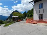 2
2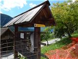 3
3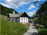 4
4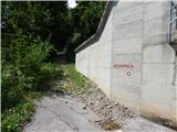 5
5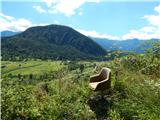 6
6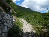 7
7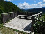 8
8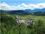 9
9 10
10 11
11 12
12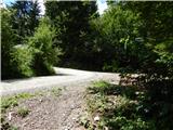 13
13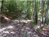 14
14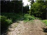 15
15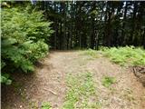 16
16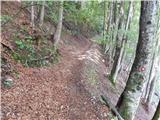 17
17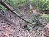 18
18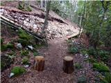 19
19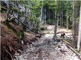 20
20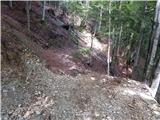 21
21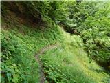 22
22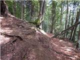 23
23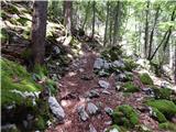 24
24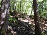 25
25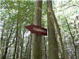 26
26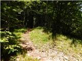 27
27 28
28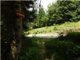 29
29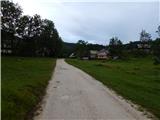 30
30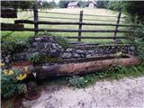 31
31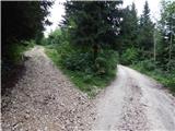 32
32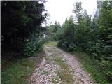 33
33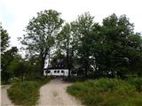 34
34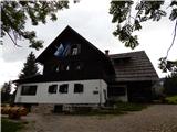 35
35 36
36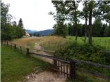 37
37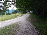 38
38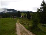 39
39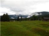 40
40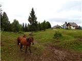 41
41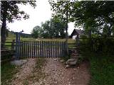 42
42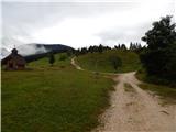 43
43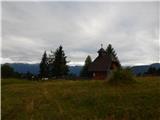 44
44
Discussion about the trail Srednja vas - Koča na Uskovnici (Za Ribnico)