Srednji Vrh - Vošca (via Zajčnik)
Starting point: Srednji Vrh (960 m)
| Lat/Lon: | 46,4894°N 13,8371°E |
| |
Name of path: via Zajčnik
Time of walking: 2 h 35 min
Difficulty: easy unmarked way
Altitude difference: 777 m
Altitude difference po putu: 860 m
Map: Kranjska Gora 1:30.000
Recommended equipment (summer):
Recommended equipment (winter): ice axe, crampons
Views: 7.020
 | 1 person likes this post |
Access to the starting point:
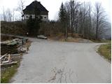
From the motorway Ljubljana - Jesenice, take the exit Jesenice - west (Hrušica) and continue in the direction of Kranjska Gora. When you reach Gozd-Martuljek, turn right in the direction of Srednji Vrho and follow the narrow and steep road to the above-mentioned place. When the road levels out a bit, you will come to a crossroads of several roads and a turning point. Park here in a suitable space at the junction.
Path description:
From the crossroads, continue along the ascending road on the left, where you will see the signs "Trupijevo poldne". Continue along the road for a while, and then the next marker for the same peak directs us to the right on the ascending grassy cart track. cart track soon turns sharply to the right and climbs cross-climbing for a short distance, then leads to an unmarked crossroads, where we continue along the lower right cart track, which after crossing for a few minutes is quite close to the Jerman stream. Continue ascending moderately along the stream, while cart track crosses the stream several times via a bridge. Higher up, the path leads us past some abandoned tents at Hudih hlevi, and then lays down and leads us in a few minutes of further walking to a wider forest road (the area called Železnica).
Once on the road, follow it to the left, and we follow it uphill to the first crossroads. Here we take a sharp right, where within a few minutes of further walking we emerge from the wods on the lower southern edge of Bleka mountain pasture. The road continues along the right-hand edge of mountain pasture, and then, as it turns to the left, we leave it and continue along the edge of the forest across the increasingly scenic slopes. In less than 5 minutes' walk from where we left the road, we reach a wooden Austrian hut (Blekova Hütte).
From the hut, walk along the mountain pasture a little to the west, where you will quickly reach a signpost marking the national border. Continue along the initially indistinct border ridge on a path that soon leads into the forest. Continue the ascent along a well-traced path marked with Austrian markers, which climbs along and along the state border. Higher up, the path turns slightly to the left and climbs steeply for a short distance. After a few minutes of climbing, the path is laid and leads to the edge of the forest. Here the Austrian markings turn right downhill, and we continue for another 10 steps, and the rather gently sloping path quickly leads us to the top of Zajčnik.
From the top of Zajčnik, we continue slightly to the right and start descending steeply along the ridge path. The path is soon laid, and then a slight ascent leads us to the ridge of Javornik, from which we open a beautiful view. Continue along the border ridge and it starts to descend slightly to the right. Cross the wire fence at the bottom, then climb cart track, which will take you to the Vratca saddle in a few minutes. Continue straight ahead here and follow the ascending path, which climbs in a few switchbacks to the eastern headland of Vošča. There is only a short descent and then a climb to the Vošća lookout. You can descend along a well-trodden, unmarked path that descends towards Srednje Vrhu.

Pictures:
 1
1 2
2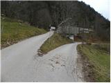 3
3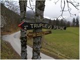 4
4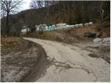 5
5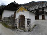 6
6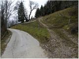 7
7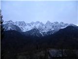 8
8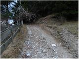 9
9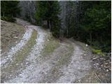 10
10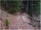 11
11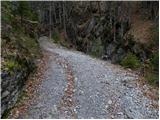 12
12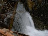 13
13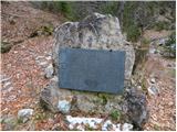 14
14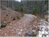 15
15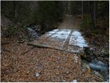 16
16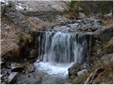 17
17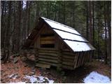 18
18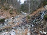 19
19 20
20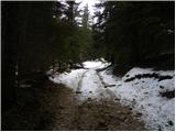 21
21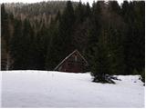 22
22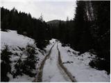 23
23 24
24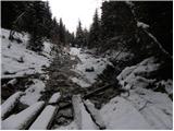 25
25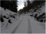 26
26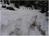 27
27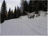 28
28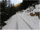 29
29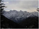 30
30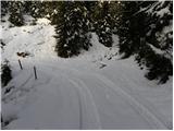 31
31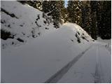 32
32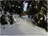 33
33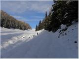 34
34 35
35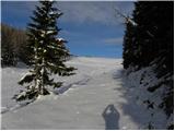 36
36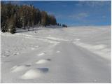 37
37 38
38 39
39 40
40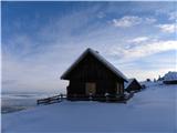 41
41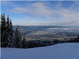 42
42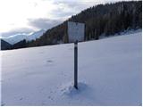 43
43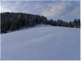 44
44 45
45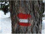 46
46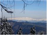 47
47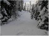 48
48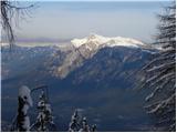 49
49 50
50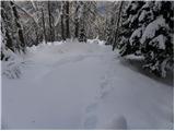 51
51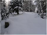 52
52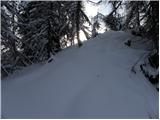 53
53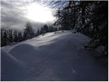 54
54 55
55 56
56 57
57 58
58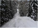 59
59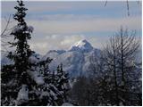 60
60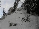 61
61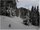 62
62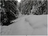 63
63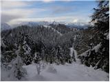 64
64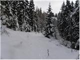 65
65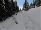 66
66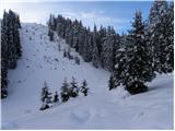 67
67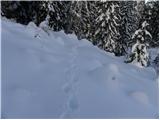 68
68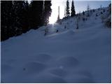 69
69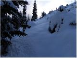 70
70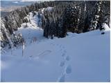 71
71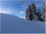 72
72 73
73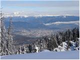 74
74 75
75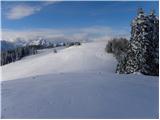 76
76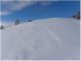 77
77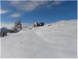 78
78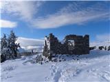 79
79 80
80
Discussion about the trail Srednji Vrh - Vošca (via Zajčnik)