Stahovica - Gradišče (Velika planina)
Starting point: Stahovica (430 m)
| Lat/Lon: | 46,2668°N 14,6036°E |
| |
Time of walking: 3 h 40 min
Difficulty: easy marked way
Altitude difference: 1236 m
Altitude difference po putu: 1275 m
Map: Kamniške in Savinjske Alpe 1:50.000
Recommended equipment (summer):
Recommended equipment (winter): ice axe, crampons
Views: 117.387
 | 1 person likes this post |
Access to the starting point:
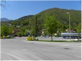
First, we drive to Kamnik, then continue in the direction of Kamnik Bistrica and the Črnivec Pass. When you get to Stahovica, turn left (if you are coming from Gornji Grad or Luč, turn right) in the direction of Kamnik Bistrica and the cable car to Velika planina. After about 50 m of further driving, you will see the Calcit factory on the left and a marked parking lot next to it. You can also park on the right hand side of the road in a suitable space on the road leading to the village of Prapretno.
Path description:
The walking route starts at the road Stahovica - Črnivec, but since the parking lot is at the beginning of the road leading to Prapretna, we just follow the road up. Soon you will reach the Stahovica LD Home, after which the road is laid. Just a little further on, a marked path joins us from the right, and we have two options for continuing. We can continue along the road, or we can continue along the marked footpath, which crosses the road a few more times. Higher up, the two paths merge and lead us through the upper part of the village of Prapretno to a sharp left turn where we leave the road.
Continue on the wide and well-trodden path (direction St. Primož nad Kamnikom), which climbs moderately through the forest. The path then leads past two chapels and a water trough to a marked crossroads, where you continue left in the direction of Velika planina and Kisovec (straight on to St Primož and St Peter for 5 minutes; it is also possible to continue on to Velika planina past the churches mentioned above; the latter route is about 15 minutes longer). The path continues to climb steeply and after a short climb leads us to the edge of an indistinct ridge, where it turns left (here the path to Kisovec branches off directly, and the path past St. Primož joins us from the right). Continue along the pleasant forest path, which climbs steeply for a short time and leads to the edge of a viewpoint (overloking Kamnik and the surrounding area). The ascent continues along a moderately steep path, which climbs through the forest on the slopes of the lesser-known Ravný Hill (1204 m) and, higher up, Pirče Peak (1373 m).
Higher up, you reach a ridge about halfway between the two peaks, and the path continues to the right, where after a few minutes of further walking you reach a marked crossroads, where you have two options for continuing.
In dry and dry weather, it is preferable to continue along the lower left path, which leads us over the panoramic and relatively steep slopes of Pasji peči, otherwise continue slightly to the right and continue along the path that climbs to Pirčev vrh. The latter path is slightly longer and more suitable for winter days and for people who are afraid of crossing steep slopes. The two paths join at a saddle north-east of Pirčev Peak, where the next crossroads is reached. Continue straight ahead (right mountain pasture Kisovec) along the path, which gradually starts to climb steeper and steeper. Higher up, the path lies and leads us over a pasture fence to the southern edge of plateau Velika planina. Just a few metres above the grazing fence, we cross a wider path, and we continue straight ahead on a slightly less visible track, which soon leads us to the first huts on mountain pasture. Follow the gently sloping path across the pastures to the memorial to those who died in the Allied plane crash in 1944. Just a few metres before the memorial, continue left (Jarški dom on the right) and then, after a moderately steep path, you will reach the Črnuški dom na Mali mountain pasture in 5 minutes' further walking.
From the Črnuški dom we continue along a wide path, which in a few minutes of slight ascent, leads us to a crossroads, where we join the path from the Jarško dom on the right. Here, continue to the left and in a few 10 steps of further walking you will arrive at the Domžalski dom na Mali mountain pasture.
The path then descends into a small valley, where you rejoin a wide path (almost a road). Continue to the right and follow the path to a less well-marked fork in the path, where a path forks off to the left in the direction of the Gradiščkovi shepherd's hut. After a short climb, the path leads to the above-mentioned settlement, from which you continue along a poorly visible but marked path. The way forward leads us past numerous benches, up a moderately steep slope. Soon the path leads us between two peaks, where we continue slightly to the right. In the middle of the ascent, we see a sign saying chairlift right (to the left, in the direction of our ascent, a shepherd's settlement). Continue in the direction of the chairlift on the path which quickly leads to the summit slope Velika planina. Here we continue to the right along a marked path which, after a few steps of ascent, leads us to Gradišče.

Pictures:
 1
1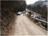 2
2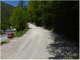 3
3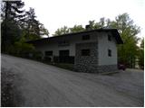 4
4 5
5 6
6 7
7 8
8 9
9 10
10 11
11 12
12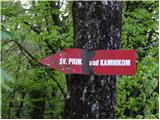 13
13 14
14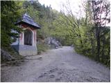 15
15 16
16 17
17 18
18 19
19 20
20 21
21 22
22 23
23 24
24 25
25 26
26 27
27 28
28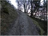 29
29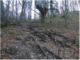 30
30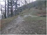 31
31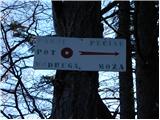 32
32 33
33 34
34 35
35 36
36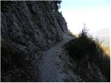 37
37 38
38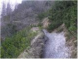 39
39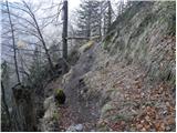 40
40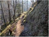 41
41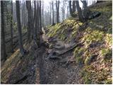 42
42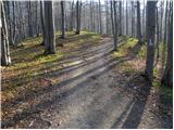 43
43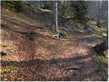 44
44 45
45 46
46 47
47 48
48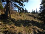 49
49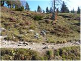 50
50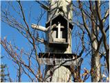 51
51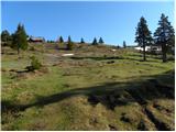 52
52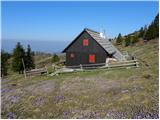 53
53 54
54 55
55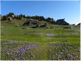 56
56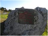 57
57 58
58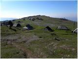 59
59 60
60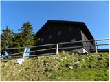 61
61 62
62 63
63 64
64 65
65 66
66 67
67 68
68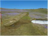 69
69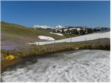 70
70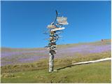 71
71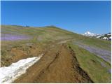 72
72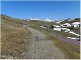 73
73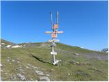 74
74 75
75 76
76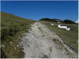 77
77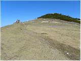 78
78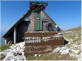 79
79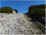 80
80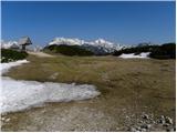 81
81 82
82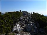 83
83
Discussion about the trail Stahovica - Gradišče (Velika planina)
|
| spotonbody30. 05. 2010 |
Včeraj sem šla po tej poti, lušten izlet. V skrinjici na vrhu Gradišča pa ni bilo žiga, lp 
|
|
|
|
| petruša30. 05. 2010 |
So živino že pripeljali na V. planino, ker če greš z otroci še je to večjo doživetje. lp
|
|
|
|
| spotonbody30. 05. 2010 |
Jaz pa včeraj nisem videla nikjer nobene kravce 
|
|
|
|
| Kriška31. 05. 2010 |
Zdi se mi, da na večino srednjegorskih pašnikov krave običajno pripeljejo v drugi polovici junija.
|
|
|
|
| garmont31. 05. 2010 |
Žig na Gradišču ( 1666 m )je fiksno pritrjen na inox cev poleg skrinjice.
LP
|
|
|
|
| franjo6620. 12. 2012 |
KAKŠNA JE POT SEDAJ POZIMI GOR??
|
|
|
|
| lijaneja20. 12. 2012 |
Fina. Saj hodijo redni obiskovalci gor tudi med tednom. Avto pustiš pred lovskim domom Vegrad , če greš gor konec tedna, se ustaviš na Sv. Primožu pri Perotu na čajčku. Pred obeležjem nekdanje Mickine bajte nadaljuješ (če imaš 66 let)naravnost v hrib, ali zaviješ levo (če si letnik 66). Zgoraj je pot shojena, Mare je na ravnini postavil kole (v primeru megle)in že se greješ ob prijetni peči in uživaš ob dobrem čaju.
|
|
|
|
| mukica21. 12. 2012 |
To je da Jarškega doma,  naprej pa je tudi vse lepo shojeno,le da so sedaj potrebne dereza zaradi ledu...
|
|
|
|
| franjo6621. 12. 2012 |
FINO!KAJ PA SO ODPRTE KOČE NA VRHU ZA KA TOPLO KUHANO VINO!!
|
|
|
|
| lijaneja21. 12. 2012 |
Mukica, daj, prosim, ti odgovori Franju, da se ne bi jaz preveč razpisal (pa ne o planinstvu)
|
|
|
|
| mukica22. 12. 2012 |
Na vrhu pod Gradiščem je koča Zeleni rob,kjer imajo toplo pijačo in jedačo..je odprta..če pa greš samo do pastirskega stanu,kjer je Kapela Marije Snežne-polnočnica pa ni nobene koče....se ustaviš prej v Jarškem ali Domžalskem domu.. 
|
|
|
|
| franjo6623. 12. 2012 |
HVALA ZA ODGOVORE!SEM BI VČERI GOR IN NI BILO KUHANEGA VINA  DRUGAČ JE BILO SUPER! DEREZE OBVEZNO!!
|
|
|
|
| mukica23. 12. 2012 |
Kje ni bilo kuhanega vina ...  je zaprto 
|
|
|
|
| Tomaž0015. 05. 2022 20:42:28 |
Super pot, lepo vreme, na poti ni bilo velike gužve
|
|
|