Stara Fužina - Planina Krstenica (via planina Zgornja Grintovica)
Starting point: Stara Fužina (600 m)
| Lat/Lon: | 46,2903°N 13,8868°E |
| |
Name of path: via planina Zgornja Grintovica
Time of walking: 4 h
Difficulty: easy unmarked way
Altitude difference: 1070 m
Altitude difference po putu: 1100 m
Map: Triglav 1:25.000
Recommended equipment (summer):
Recommended equipment (winter): ice axe, crampons
Views: 7.259
 | 1 person likes this post |
Access to the starting point:
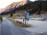
From the Ljubljana - Jesenice motorway, take the Lesce exit and follow the road towards Bled and on to Bohinjska Bistrica. Continue towards Bohinjsko jezero (Ribčev laz), at which you will come to a crossroads where you will turn right towards Stara Fužina. At Stara Fužina, at the crossroads by the chapel, turn sharp left onto the ascending road towards mountain pasture Blato, mountain pasture Vogar and the Voja valley. The road leads on to a place where tolls are collected, and we park here in a pay and display parking lot.
Path description:
From the parking lot, continue right towards the Mostnice riverbeds along a wide path, which will take you to the Devil's Bridge in a few minutes, from which you can get your first view of the riverbeds. At the bridge, turn left onto a minor road, which you follow for a short distance, as the signs for the troughs then direct you to the right onto a well-maintained tourist trail. The path ahead soon leads us to the central trough, along which we then climb steeply. During the ascent along the troughs, we come across the "Elephant" markers (a rock hollowed out by water in the shape of an elephant - worth a look). The way forward continues to climb for some time along Mostnica, then turns slightly to the left, where after a few minutes of further walking it leads us to a forest road leading towards the valley of the Voja valley. Follow the road to the right, and it will quickly lead us to the mountain hut at Voja (we can also get here by car, which shortens the journey by about 45 minutes).
From the hut, continue along the gently sloping macadam road, which leads us further along the edge of the vast pastures of the Voja valley. A little further on, the road splits into two parts, and we can continue either on the left (direction Velo polje) or on the right road, which is a few minutes longer and leads us to the Mostnice waterfall along the valley headland.
If you have seen the waterfall, go back a few metres, then cross the little bridge to join the slightly shorter "left" path. The path continues into the dense forest, where it first climbs above the waterfall, then gradually turns quite left, where it climbs up relatively steep slopes. After a climb of about one hour through the forest, the path turns right and then, after a few minutes of cross-climbing, leads us out of the forest to mountain pasture Spodnja Grintovica, where there is a trough of water (because of the possibility of frost, the tap can only be opened in the summer months).
At mountain pasture Lower Grintovica, the marking "Pl. Grintovica", which directs you to the left to the water trough, but it is better to continue along the left edge of mountain pasture to the nearby cairn, where you can see the beginning of the path leading to Upper Grintovica. Here the trail turns sharp left and continues through a dense forest. After just 10 m, the "path" leading past the aforementioned trough joins us on the left, and we continue along the wide path, which after a further 10 minutes' walk leads us to mountain pasture Zgornja Grintovica (Upper Grintovica). At mountain pasture we will see the markings for Krstenica on one of the huts, which direct us to a clearly visible path that starts at the nearby mogic. The way forward ascends crosswise over the upper edge of mountain pasture, and then passes into a dense forest, where it starts to get lost in places, but there are no major problems with orientation, as the way is shown by unofficial markings in the form of arrows, and here and there we also see some old markings that have faded. The path through the forest climbs steeply from time to time, then turns slightly to the left, where it becomes more transitional and the forest becomes thinner. The path, which passes briefly through tall grasses, returns to the forest and climbs steeply. After a short steep climb through the forest, the path turns slightly to the right, where it crosses a torrential ravine, then turns left again and continues to climb along the edge of the torrent, which is quite wide here, so the path is damaged in several places in this part, but since the steepness is not very great, it does not cause us any major problems (some caution is still necessary). A few minutes of steep walking follows, and then the path suddenly flattens out and leads to a viewpoint on the eastern edge of mountain pasture Krstenica. From the viewpoint, continue along the gently sloping path, which, after a few minutes of gentle descent, leads to the huts on the aforementioned mountain pasture.

We can extend the trip to the following destinations: Planina Jezerce,
Krsteniški Stog (0 min),
Jezerski Stog,
Prevalski Stog (1 h 5 min),
Ogradi (1 h),
Škednjovec,
Vrh Hribaric,
Vršaki (Vrh za Koritami),
Vršaki (Srednji vrh),
Vršaki (Južni vrh),
Vršaki (Vzhodni vrh),
Teme (Hribarice),
Poprovec,
Kanjavec,
Kanjavec (Zahodni vrh)
Pictures:
 1
1 2
2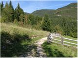 3
3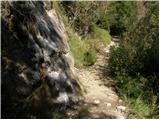 4
4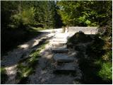 5
5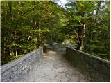 6
6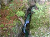 7
7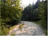 8
8 9
9 10
10 11
11 12
12 13
13 14
14 15
15 16
16 17
17 18
18 19
19 20
20 21
21 22
22 23
23 24
24 25
25 26
26 27
27 28
28 29
29 30
30 31
31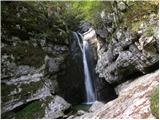 32
32 33
33 34
34 35
35 36
36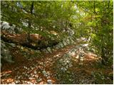 37
37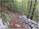 38
38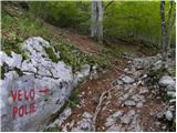 39
39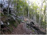 40
40 41
41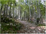 42
42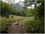 43
43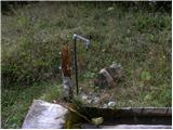 44
44 45
45 46
46 47
47 48
48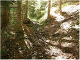 49
49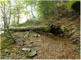 50
50 51
51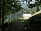 52
52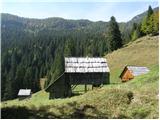 53
53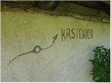 54
54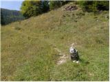 55
55 56
56 57
57 58
58 59
59 60
60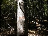 61
61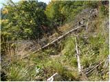 62
62 63
63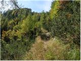 64
64 65
65 66
66 67
67 68
68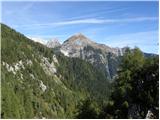 69
69 70
70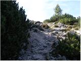 71
71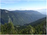 72
72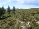 73
73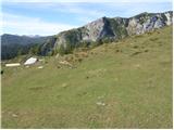 74
74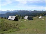 75
75
Discussion about the trail Stara Fužina - Planina Krstenica (via planina Zgornja Grintovica)
|
| grega_p13. 10. 2019 |
Danes sem opravil pot v obratni smeri, na planino Krstenica sem prišel z Vogarja čez Blato. Macesni počasi že rumenijo zgoraj, tako da je pravi trenutek za obisk te idile, če imate čas.
Zgornji del poti v opisu (torej tam, kjer poti preči hudourniško grapo) je res malce neudoben, saj je polno grušča, a z malo previdnosti bo šlo. Tudi v gozdu nad Zg. Grintovico se pot zaradi listja izgublja in je treba biti pozoren, a nič hujšega. Tistega drugega odcepa razen poti mimo korita pa nisem opazil - sem bil z mislimi že bolj v dolini očitno...
Še to, ker te dni podirajo veliko dreves zaradi lubadarja, je kar nekaj razritih delov in blatnih odsekov.
Lp Grega
|
|
|