Stara Fužina - Planina pod Mišelj vrhom
Starting point: Stara Fužina (600 m)
| Lat/Lon: | 46,2903°N 13,8868°E |
| |
Time of walking: 4 h 15 min
Difficulty: easy marked way
Altitude difference: 1045 m
Altitude difference po putu: 1100 m
Map: Triglav 1:25.000
Recommended equipment (summer):
Recommended equipment (winter): ice axe, crampons
Views: 6.901
 | 1 person likes this post |
Access to the starting point:
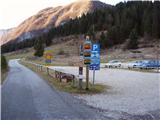
From the Ljubljana - Jesenice motorway, take the Lesce exit and follow the road towards Bled and on to Bohinjska Bistrica. Continue towards Bohinjsko jezero (Ribčev laz), at which you will come to a crossroads where you will turn right towards Stara Fužina. At Stara Fužina, at the crossroads by the chapel, turn sharp left onto the ascending road towards mountain pasture Blato, mountain pasture Vogar and the Voja valley. The road leads on to a place where tolls are collected, and we park here in a pay and display parking lot.
Path description:
From the parking lot, continue right towards the Mostnice riverbeds along a wide path, which will take you to the Devil's Bridge in a few minutes, from which you can get your first view of the riverbeds. At the bridge, turn left onto a minor road, which you follow for a short distance, as the signs for the troughs then direct you to the right onto a well-maintained tourist trail. The path ahead soon leads us to the central trough, along which we then climb steeply. During the ascent along the troughs, we come across the "Elephant" markers (a rock hollowed out by water in the shape of an elephant - worth a look). The way forward continues to climb for some time along Mostnica, then turns slightly to the left, where after a few minutes of further walking it leads us to a forest road leading towards the valley of the Voja valley. Follow the road to the right, which quickly leads to the mountain hut at Voja (you can also drive here, which shortens the journey by about 45 minutes).
From the hut, continue along the folded macadam road, which leads us further along the edge of the vast pastures of the Voja valley. A little further on, the road splits into two parts, and we can continue either on the left (direction Velo polje) or on the right road, which is a few minutes longer and leads us to the Mostnice waterfall along the valley headland.
If you have seen the waterfall, go back a few metres, then cross the little bridge to join the slightly shorter "left" path. The path continues into the dense forest, where it first climbs above the waterfall, then gradually turns quite left, where it climbs up relatively steep slopes. After a climb of about one hour through the forest, the path turns right and then, after a few minutes of cross-climbing, leads us out of the forest to mountain pasture Spodnja Grintovica, where there is a trough of water (because of the possibility of frost, the tap can only be opened in the summer months).
The trail then returns to the forest, where it begins to climb steeply again. The rather monotonous path then leads us into an undistinguished valley (Jurjevčeva vrtača), where it gradually lays down. Further on, the forest becomes a little thinner and the path turns slightly to the right, where after a few minutes of further walking we arrive at a less well-marked crossroads. At the crossroads continue left (right Vodnikov dom) and continue the ascent along the path, which is completely laid out and leads us in a few minutes of further walking to the intermittent lake near mountain pasture under Mišelj vrh. Here, take a sharp left and, after a short cross-climb, arrive at the aforementioned mountain pasture.
Stara Fužina - Spodnja Grintovica 2:45, Spodnja Grintovica - mountain pasture below Mišelj vrh 1:30.

Pictures:
 1
1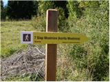 2
2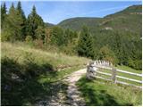 3
3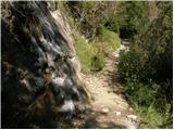 4
4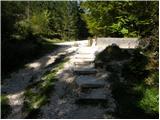 5
5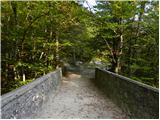 6
6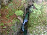 7
7 8
8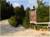 9
9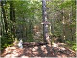 10
10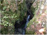 11
11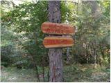 12
12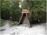 13
13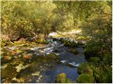 14
14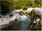 15
15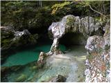 16
16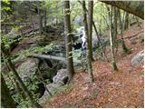 17
17 18
18 19
19 20
20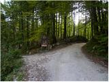 21
21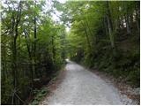 22
22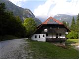 23
23 24
24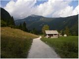 25
25 26
26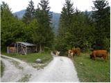 27
27 28
28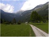 29
29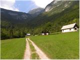 30
30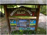 31
31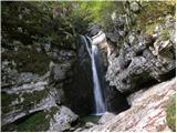 32
32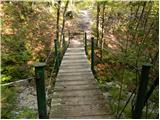 33
33 34
34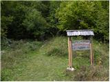 35
35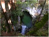 36
36 37
37 38
38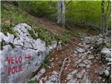 39
39 40
40 41
41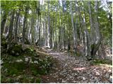 42
42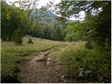 43
43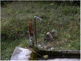 44
44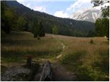 45
45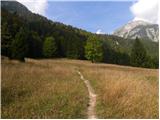 46
46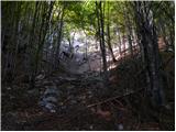 47
47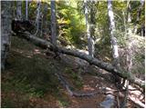 48
48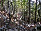 49
49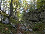 50
50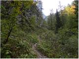 51
51 52
52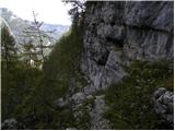 53
53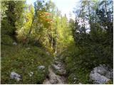 54
54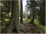 55
55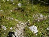 56
56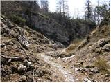 57
57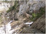 58
58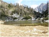 59
59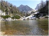 60
60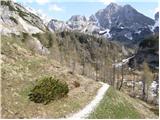 61
61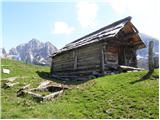 62
62
Discussion about the trail Stara Fužina - Planina pod Mišelj vrhom
|
| Lj27. 09. 2010 |
Mi lahko kdo pove, kdaj se presihajoče jezerce na Planini pod Mišelj vrhom napolni z vodo - je to odvisno od deževja, ali ima kak drug "bioritem"?
|
|
|
|
| čeveljc22. 10. 2012 |
Danes sem bila namenjena do jezerca pod Mišelj Vrhom. Najprej sem šla do slapu Mostnica, potem pa nazaj grede nisem našla odcepa desno na pot proti Velem polju. Ker sem bila tam prvč, oznak ali markacij desno pa ni (?), sem se vrnila kar precej nazaj do odcepa, kjer je markiran pot proti Velem polju. Izgubila sem nekaj dragocenega časa in bila potem prepozna. Uspelo mi je priti do Jurjevčeve vrtače, potem sem se morala vrniti. Mislim, da mi do jezerca ni zmanjkalo prav veliko, zato bi rada vprašala tiste ki so poznavalci tega konca - koliko hoje je še od vVrtače do jezerca in ali jezerce letos sploh je glede na poletno sušo. Pa je ostal en lep izziv za prihodnje leto.
|
|
|