Stara Fužina - Planina Zgornja Grintovica
Starting point: Stara Fužina (600 m)
| Lat/Lon: | 46,2903°N 13,8868°E |
| |
Time of walking: 3 h
Difficulty: easy unmarked way
Altitude difference: 650 m
Altitude difference po putu: 650 m
Map: Triglav 1:25.000
Recommended equipment (summer):
Recommended equipment (winter):
Views: 7.084
 | 3 people like this post |
Access to the starting point:
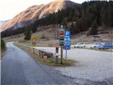
From the Ljubljana - Jesenice motorway, take the Lesce exit and follow the road towards Bled and on to Bohinjska Bistrica. Continue towards Bohinjsko jezero (Ribčev laz), at which you will come to a crossroads where you will turn right towards Stara Fužina. At Stara Fužina, at the crossroads by the chapel, turn sharp left onto the ascending road towards mountain pasture Blato, mountain pasture Vogar and the Voja valley. The road leads on to a place where tolls are collected, and we park here in a pay and display parking lot.
Path description:
From the parking lot, continue right towards the Mostnice riverbeds along a wide path, which will take you to the Devil's Bridge in a few minutes, from which you can get your first view of the riverbeds. At the bridge, turn left onto a minor road, which you follow for a short distance, as the signs for the troughs then direct you to the right onto a well-maintained tourist trail. The path ahead soon leads us to the central trough, along which we then climb steeply. During the ascent along the troughs, we come across the "Elephant" markers (a rock hollowed out by water in the shape of an elephant - worth a look). The way forward continues to climb for some time along Mostnica, then turns slightly to the left, where after a few minutes of further walking it leads us to a forest road leading towards the valley of the Voja valley. Follow the road to the right, and it will quickly lead us to the mountain hut at Voja (we can also get here by car, which shortens the journey by about 45 minutes).
From the hut, continue along the gently sloping macadam road, which leads us further along the edge of the vast pastures of the Voja valley. A little further on, the road splits into two parts, and we can continue either on the left (direction Velo polje) or on the right road, which is a few minutes longer and leads us to the Mostnice waterfall along the valley headland.
If you have seen the waterfall, go back a few metres, then cross the little bridge to join the slightly shorter "left" path. The path continues into the dense forest, where it first climbs above the waterfall, then gradually turns quite left, where it climbs up relatively steep slopes. After a climb of about one hour through the forest, the path turns right and then, after a few minutes of cross-climbing, leads us out of the forest to mountain pasture Spodnja Grintovica, where there is a trough of water (because of the possibility of frost, the tap can only be opened in the summer months).
At mountain pasture Lower Grintovica, the marking "Pl. Grintovica", which directs you to the left to the water trough, but it is better to continue along the left edge of mountain pasture to the nearby cairn, where you can see the beginning of the path leading to Upper Grintovica. Here the trail turns sharp left and continues through a dense forest. After just 10 m, the "path" leading past the aforementioned trough joins us on the left, and we continue along the wide path, which after a further 10 minutes' walk leads us to mountain pasture Zgornja Grintovica (Upper Grintovica).

Pictures:
 1
1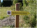 2
2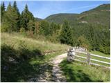 3
3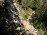 4
4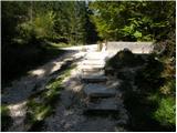 5
5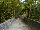 6
6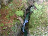 7
7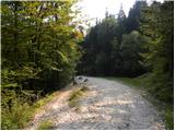 8
8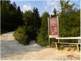 9
9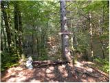 10
10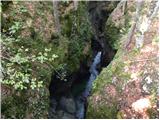 11
11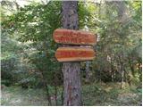 12
12 13
13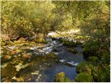 14
14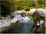 15
15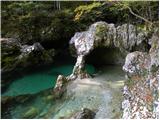 16
16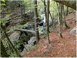 17
17 18
18 19
19 20
20 21
21 22
22 23
23 24
24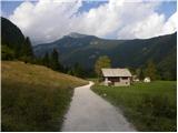 25
25 26
26 27
27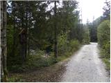 28
28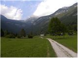 29
29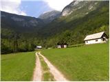 30
30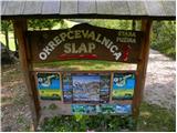 31
31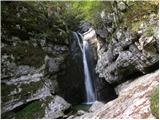 32
32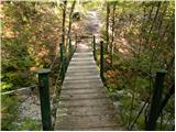 33
33 34
34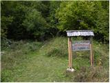 35
35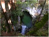 36
36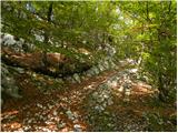 37
37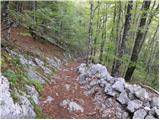 38
38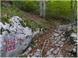 39
39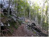 40
40 41
41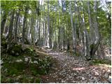 42
42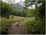 43
43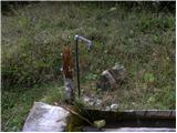 44
44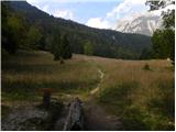 45
45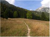 46
46 47
47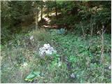 48
48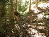 49
49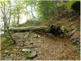 50
50 51
51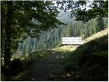 52
52 53
53
Discussion about the trail Stara Fužina - Planina Zgornja Grintovica
|
| saso.alpinist21. 09. 2008 |
Ta planina je res krasna. Jaz ne vem zakaj je nekateri ne marajo preveč. Če bi ob lepem vremenu na njej ostali le en vikend in se družili z najemniki tamkajšnih koč (med njimi sem tudi jaz  ) bi svoje mnenje kaj kmalu spremenili. Na Grintovici se srečujejo res le največje legende...to se pravi le najboljša družba...in če jih kdaj kaj vprašate o zgodovini te planine ali pa o kakih planinskih prigodah tu, vam bodo z veseljem odgovorili na vprašanja in vas povabili k sebi na čaj, kavo, na enga takratkega,...če pa ostanete gor dlje pa vas verjetno povabijo še na manjši kres in seveda na pojedino, pripravljeno na ognju. Ob nevihtah smo že nekajkrat naleteli na tujce, ki niso vedeli več kam bi šli, pa smo jih lepo sprejeli, jih nasitili in jih posušili, pomožnosti so tudi prespali,...in vsi so bili res zelo zadovoljni ter se še kdaj vrnili na to planino.  Od planine pa vodijo tudi številne stezice na okoliške hribe...npr. Krstenica, Voje, Blato, Velo Polje, Vodnikov dom in še mnoge druge. Planina pa nudi tudi prekrasen razgled na večino južnih bohinjskih alp, Uskovnico, Tošc, vidi pa se tudi Triglav. Na Grintovici imamo tudi drugo najčistejšo vodo v Sloveniji, ki izvira pod Krstenico. Planino na vsake toliko časa obiščejo tudi kakšne koze bohinjskih pastirjev, ki prečijo planino bodisi, ko peljejo živino na pašo v višje ležeče planine, ali pa bodisi pred začetkom Kravjega Bala v Bohinju. Vendar Pozor! Tu tudi pridejo fantje s TNP-ja (Triglavski Narodni Park), ki oprezajo za nevarnostmi in nevšečnostmi, ki bi jih lahko povzročili planinci ali "prebivalci planine Grintovice". Zato vas prosim, da ne odlagate odpadkov v naravi in ne kurite na nezavarovanih mestih. Pri miru pa pustite tudi zavarovane cvetlice in ne plašite planinskih živali. Drugače pa na Grintovici živimo pa enem načelu: "Duša jej, pij in bodi dobre volje!"  Uživajte v izletu! Lep pozdrav, Sašo
|
|
|
|
| mukica22. 09. 2008 |
Upam ,da se kmalu vidimo... 
|
|
|