Stara Vrhnika - Koča na Planini nad Vrhniko (via Špica)
Starting point: Stara Vrhnika (324 m)
| Lat/Lon: | 45,974°N 14,2858°E |
| |
Name of path: via Špica
Time of walking: 1 h 15 min
Difficulty: easy marked way
Altitude difference: 409 m
Altitude difference po putu: 409 m
Map: Ljubljana - okolica 1:50.000
Recommended equipment (summer):
Recommended equipment (winter):
Views: 12.559
 | 1 person likes this post |
Access to the starting point:
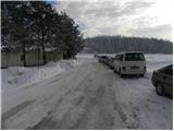
From the motorway Ljubljana - Koper take the exit Vrhnika, then at the first traffic light turn left in the direction of Logatec. Follow the old road towards Logatec for just 10 m, then the signs for Horjul point you to the right. Continue towards Horjul, and follow the road until the signs for Stara Vrhnika point to the left. Continue driving through the aforementioned place, then quickly reach the junction by the fire house. Here, park in a suitable place at the junction.
Path description:
From the crossroads at the fire house, continue straight ahead and follow the gently ascending road, which leads past the Church of St Lenart to the crossroads at the National Liberation Monument. Here, continue along the left-hand road and continue through the village to the end of the road. From the end of the road, follow cart track, which climbs gently over a meadow and then, when you reach the foot of the power line, continue slightly left, where after a few minutes of further walking you reach the road. Cross the road and continue your ascent along the marked mountain path, which gradually starts to climb moderately and turns into a dense forest higher up. After a few minutes of walking through the forest, the path is completely laid, then climbs steeply and leads us to a woded ridge. Continue along the ridge for a while, then the path turns slightly to the left and joins the path from Vrhnika.
A few minutes of easy walking follow to the Špica bench, and then the path turns slightly to the left and gradually starts to climb steeper. Follow this relatively steep path all the way to the Shelter at Mountain pasture above Vrhnika, which is reached after about 10 minutes of further walking.
Description and pictures refer to the situation in December 2010.

Pictures:
 1
1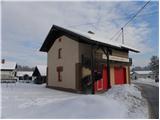 2
2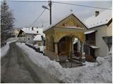 3
3 4
4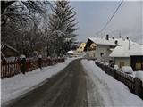 5
5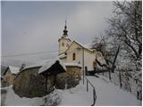 6
6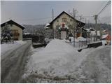 7
7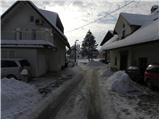 8
8 9
9 10
10 11
11 12
12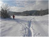 13
13 14
14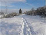 15
15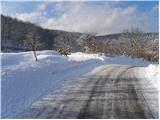 16
16 17
17 18
18 19
19 20
20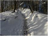 21
21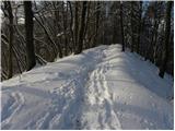 22
22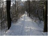 23
23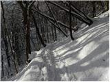 24
24 25
25 26
26 27
27 28
28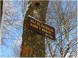 29
29 30
30 31
31 32
32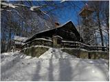 33
33 34
34 35
35
Discussion about the trail Stara Vrhnika - Koča na Planini nad Vrhniko (via Špica)
|
| bizmbazm22. 12. 2010 |
Ja, zanimiv pohod. Jst sem šel nekajkrat, ko sem služil vojsko v Stari Vrhniki. Sem pa že nekajkrat pomislil, da grem spet. Upam, da kmalu in da bom našel pravo pot, ker sem že pozabil, kje se gre.
|
|
|
|
| zaplancek9. 03. 2020 |
A se še komu zdi, da je odkar imajo novo bajto in greznico tako neznosno zaudarja okoli bajte! Že pot pod samo greznico malo pred ciljem tisti blatni del je začela grozno smrdeti! Kr razočaran 
|
|
|
|
| donat9. 03. 2020 |
zaplanček, bom prenesel na PD Vrhnika, bodo
sigurno preverili situacijo.
|
|
|