Steljnik - Koča pri Sveti Ani on Mala gora
Starting point: Steljnik (615 m)
| Lat/Lon: | 45,7501°N 14,7628°E |
| |
Time of walking: 1 h
Difficulty: easy marked way
Altitude difference: 295 m
Altitude difference po putu: 295 m
Map:
Recommended equipment (summer):
Recommended equipment (winter):
Views: 7.121
 | 1 person likes this post |
Access to the starting point:
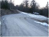
First, drive to Ribnica (to get here from Ljubljana or Kočevje) then continue past the Inles company, where you will also cross the railway line. Just a little beyond the railway line you will see the first direction signs for Sveta Ana. Continue up the relatively nice dirt road, which leads us higher up to the landfill site, where there is a crossroads. Continue to the right (left Sveta Ana from farm Seljan) and follow the road past the landfill to the next crossroads at which we park.
Path description:
From the crossroads, continue towards Svete Ana along the road as it climbs through the forest. After a good 5 minute walk, a road branches off to the right, leading towards Črnji vrh, and we continue straight ahead, also along the road, which continues to climb through the forest.
Just a few metres before the next crossroads, the marked footpath leading to Sveti Anna turns left into the dense forest and begins to climb moderately. After a short climb, there is a slight descent and the path becomes closer to the forest road we have recently left.
Continue in the direction of Sveti Anna along cart track, which continues to climb transversely to the west. Next, the path from the Seljan farm joins us from the left, and we continue past the church along the grassy slope with a view to the mountain lodge.
Pictures:
 1
1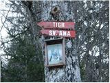 2
2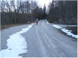 3
3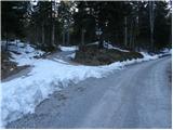 4
4 5
5 6
6 7
7 8
8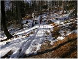 9
9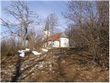 10
10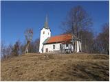 11
11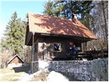 12
12
Discussion about the trail Steljnik - Koča pri Sveti Ani on Mala gora