Starting point: Stepani (175 m)
| Lat/Lon: | 45,5501°N 13,8575°E |
| |
Time of walking: 50 min
Difficulty: easy marked way
Altitude difference: 199 m
Altitude difference po putu: 210 m
Map: Primorje in Kras 1:50.000
Recommended equipment (summer):
Recommended equipment (winter):
Views: 5.360
 | 1 person likes this post |
Access to the starting point:
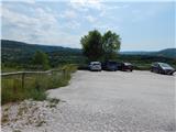
From the Ljubljana - Koper motorway, take the Črni Kal exit, then take the first exit to the right in the direction of Stepani. After 100 metres from the junction, you will reach a large asphalted parking lot, located at the beginning of Stepani.
Path description:
From the parking lot, we go back a little, then continue along the asphalt road, which runs parallel to the motorway, and at first we have a nice view towards Črnji Kal, the Kraško rim and the upper part of the village Stepani with the church. Further on, the road leads us a little higher than the motorway, so that we have a view of the Črni Kal viaduct and the village of Osp with the Osapska Wall and Socerb a little higher up, and in the route ahead we can see the transmitters at Tinjan and part of the St Michael's Church. At the first small crossroads, continue slightly right, then cross the motorway after a slight descent over an overpass. On the other side of the motorway, the road turns left and starts to climb more visibly. At the next junction, take the right-hand road as well, but the asphalt ends just a little further on and the route continues on a dirt road, climbing through a distinct coastal landscape. The way ahead leads through some partly overgrown meadows, and higher up through a pine forest, where at a crossroads we continue right in the direction of Tinjana. There is a few minutes' cross-country climb to the right, and then we arrive at a crossroads of five dirt tracks, where the path from Osp joins us from the right, and we continue along the upper left cart track or worse road.
A little further on, we join a wider road with a circular path from Dekani, and we follow this road to a crossroads near a waterworks. At this junction, leave the road and continue straight ahead on the path that continues alongside the building. A little higher up, you reach another road, where you take a sharp left (a few steps to the right is a nice viewpoint from where you can see Trieste, the Socerb Castle, the Osp with the Osapska Wall, etc. ). A minute or so further on, you reach an asphalt road, which, with nice views of the surrounding area, quickly leads you to the Church of St Michael, which is located on the Tinian Hill.
Description and pictures refer to the situation in 2016 (July).

We can extend the trip to the following destinations: Ankaran
Pictures:
 1
1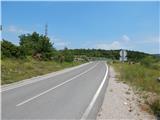 2
2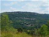 3
3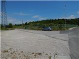 4
4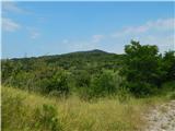 5
5 6
6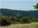 7
7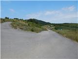 8
8 9
9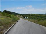 10
10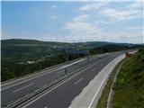 11
11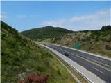 12
12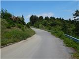 13
13 14
14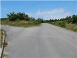 15
15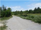 16
16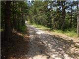 17
17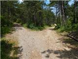 18
18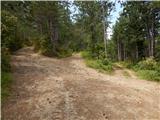 19
19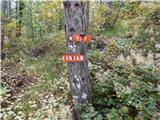 20
20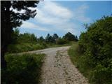 21
21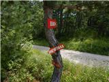 22
22 23
23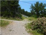 24
24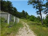 25
25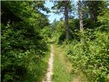 26
26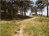 27
27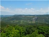 28
28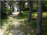 29
29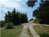 30
30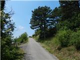 31
31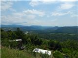 32
32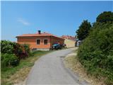 33
33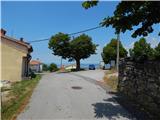 34
34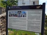 35
35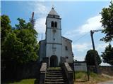 36
36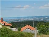 37
37
Discussion about the trail Stepani - Tinjan
|
| irena.brescak7. 01. 2020 |
Zaradi gradnje dovoznih poti za 2.železniški tir je trasa prejšnje poti na drugi strani avtoceste prekinjena in preusmerjena na desno po asfaltni cesti do markacij, kjer pot zavije v hrib. Na smerokazih iz Stepanov razen markacij ni napisa Tinjan.
|
|
|