Stomaž - Kucelj (on Čaven)
Starting point: Stomaž (285 m)
| Lat/Lon: | 45,9002°N 13,8573°E |
| |
Time of walking: 3 h
Difficulty: easy marked way
Altitude difference: 952 m
Altitude difference po putu: 1050 m
Map: Goriška - izletniška karta 1:50.000
Recommended equipment (summer):
Recommended equipment (winter):
Views: 6.919
 | 1 person likes this post |
Access to the starting point:
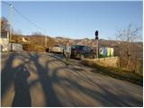
Take the expressway from Razdrteg to Nova Gorica or vice versa and take the Ajdovščina exit. Then turn left at the crossroads in the route Nova Gorica and drive to the village of Cesta and immediately after the village turn right in the direction of Stomaž. Follow the road as it begins to climb to a small parking area near the cemetery in the village of Stomaž.
Path description:
From the small parking lot, continue along the road past the houses. After a few minutes' walk, the first asphalt and then macadam road leads to a place where a marked footpath to Čavno branches off to the right. The marked path initially follows cart track, which soon turns into a path that climbs moderately through the forest. The path ahead leads to a larger clearing, in the middle of which you can see a hunting observation post. The path then passes into the forest again, where it climbs moderately for some time. The path starts to climb more steeply at pihal (a small cave and a mored rock) along a mostly poorly marked path. The steepness of the trail eases when the trail leads us to the unpaved plateau Mala gora, where there is also a crossroads.
Here we continue straight on towards Čavna (left hut on Mala gora 10 minutes) along a rather overgrown path in summer. The trail then crosses the lane of a forest and joins the trail from Lokavac a little higher up. Here, continue left and follow the path, which leads you in a few minutes to the Cottage on Čavnu.
Behind the hut, the signs for Kucelj direct us slightly to the left on a footpath which begins to descend crosswise. The path crosses a short lane of forest, then turns to the right, where it continues to descend gently. The path then gradually enters the forest and the path from the village Kamnje joins us on the left (there are two turnoffs for Kamnje).
Continue in the direction of Kuclje along the path, which gradually passes to the right side of the "Čavnov" ridge. The path continues through a large clearing, from which a view of the surrounding hills opens up, and then returns to the forest. A little further on, leave the folded cart track and continue climbing to the left and on through the thick forest. The steepness soon gives way and the path leads us out of the forest onto increasingly scenic grassy slopes. A few minutes of easy walking follows, and then the path leads us under the very top of Kuclja, where it climbs steeply again. This path, which offers increasingly beautiful views, is then followed all the way to the top of Kuclja, which is reached after a few minutes of further walking.

We can extend the trip to the following destinations: Veliki Rob
Pictures:
 1
1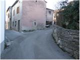 2
2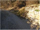 3
3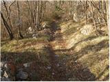 4
4 5
5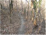 6
6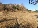 7
7 8
8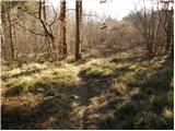 9
9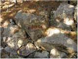 10
10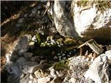 11
11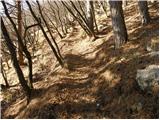 12
12 13
13 14
14 15
15 16
16 17
17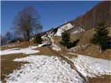 18
18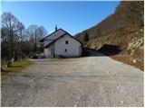 19
19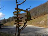 20
20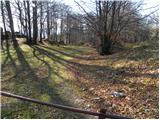 21
21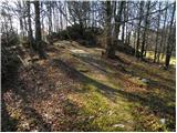 22
22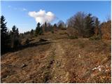 23
23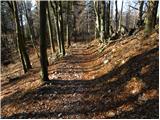 24
24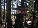 25
25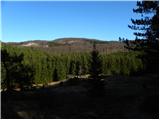 26
26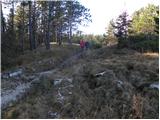 27
27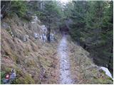 28
28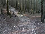 29
29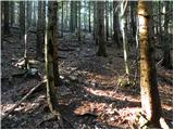 30
30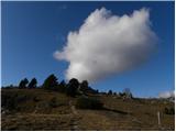 31
31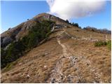 32
32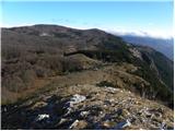 33
33 34
34 35
35 36
36
Discussion about the trail Stomaž - Kucelj (on Čaven)
|
| strigca28. 12. 2016 |
Pot je krasna in prijetno mirna - ni obljudena in je ves čas po poteh, ne po kolovozih. Prvo (slabo) uro se kar strmo vzpenja, sledi pot po pobočju (bolj ravninski del, po redkem gozdu in s krasnim razgledom na Vipavsko dolino in Kras) in na koncu spet del, kjer spet bolj grizeš kolena - in se dvigneš nad gozd. Pot je vzorno označena, s smerokazi na vseh križiščih - vključno z oznakami nadmorske višine in trajanjem posameznih poti. Šli smo sicer po poti, ki ne gre preko Čavna - pod Čavnom je križišče, na katerem izbereš ali pot na Čaven ali direktno na Kucelj po srednječavenski poti. Z dvema otrokoma (6 in 8 let) smo rabili slabe tri ure do vrha - skupaj z nekaj pavzami. Dol pa slabi dve uri ... Vsekakor tura, ki jo bomo še ponovili.
|
|
|