Starting point: Stomaž (285 m)
| Lat/Lon: | 45,9002°N 13,8573°E |
| |
Time of walking: 2 h
Difficulty: easy marked way
Altitude difference: 749 m
Altitude difference po putu: 749 m
Map: Goriška 1:50.000
Recommended equipment (summer):
Recommended equipment (winter):
Views: 9.960
 | 1 person likes this post |
Access to the starting point:
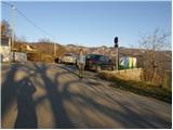
Take the expressway from Razdrteg to Nova Gorica or vice versa and take the Ajdovščina exit. Then turn left at the crossroads in the route Nova Gorica and drive to the village of Cesta and immediately after the village turn right in the direction of Stomaž. Follow the road as it begins to climb to a small parking area near the cemetery in the village of Stomaž.
Path description:
From the small parking lot, continue along the road past the houses. After a few minutes' walk, the first asphalted and then macadam road leads to a place where a marked footpath to Čavno branches off to the right. The marked path initially runs along cart track, which soon turns into a path that climbs moderately through the forest. The path ahead leads to a larger clearing, in the middle of which you can see a hunting observation post. The path then passes into the forest again, where it climbs moderately for some time. The path starts to climb more steeply at pihal (a small cave and a mored rock) along a mostly poorly marked path. The steepness of the trail, however, eases when the trail leads us to the unpaved plateau Mala gora, where there is also a crossroads. Here, continue left along the path, which mostly crosses the slopes to the west. After about 10 minutes' walk from the crossroads, the path descends and leads in a few steps to the hut on Mali gori.

Pictures:
 1
1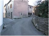 2
2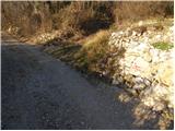 3
3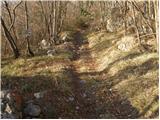 4
4 5
5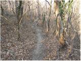 6
6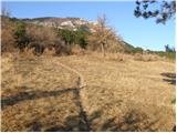 7
7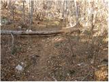 8
8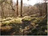 9
9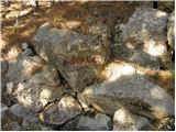 10
10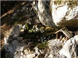 11
11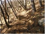 12
12 13
13 14
14 15
15 16
16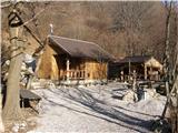 17
17
Discussion about the trail Stomaž - Mala gora