Strahomer - Krim (via Strmec)
Starting point: Strahomer (309 m)
| Lat/Lon: | 45,9424°N 14,4878°E |
| |
Name of path: via Strmec
Time of walking: 2 h 10 min
Difficulty: easy marked way
Altitude difference: 798 m
Altitude difference po putu: 798 m
Map: Ljubljana - okolica 1:50.000
Recommended equipment (summer):
Recommended equipment (winter):
Views: 35.564
 | 2 people like this post |
Access to the starting point:
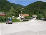
From the southern Ljubljana ring road, take the Rudnik exit and follow the road towards Ig. At the intersection at Igo, turn right towards Iška vas, then in Staje village turn right towards Vrbljene village. In Vrbljene, turn left towards Strahomer, and park there in the asphalted parking lot by the Iška River.
Path description:
From the parking lot, follow the asphalted road, which crosses the Iška River via a bridge. The road starts to climb slightly and leads us past the church to a marked crossroads, where we continue to the right in the direction of Krima over Strmec (straight Krim over Kramarco).
Continue ascending along cart track, which goes into the woods by the outbuildings. The initially folded cart track climbs steeply and then turns increasingly to the right. Higher up, the slope eases and cart track, which crosses the road, leads us to a place where a rather overgrown path from Vrbljen joins from the right.
Continue in the direction of Krima along the gently sloping path, which leads us just a little further on to the next crossroads, where we join the wide cart track. Continue slightly left in the direction of Krimo (right down Tomišelj) on the slightly steeper cart track, which crosses a forest road higher up. Cart track, which runs through the forest the whole time, is re-laid and leads us a little further on to the next crossroads, where the path from Podpeč and Preseri joins us on the right. Continue along the wide, moderately steep cart track, which leads us higher up to the macadam road leading to Krim. Follow the road to the left, which quickly leads to a large parking lot, or turning point, where the path from Iški Vintgar joins us from the left (also the path from Iška vas and the path over Kramarca, which can also be descended). Here, continue right across the meadow, following the path which takes us past the cross and leads us to the top of Krim in a few minutes' walk.

Pictures:
 1
1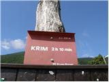 2
2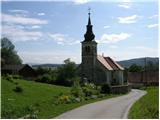 3
3 4
4 5
5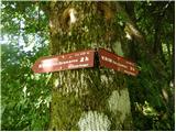 6
6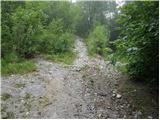 7
7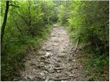 8
8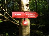 9
9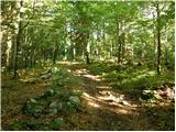 10
10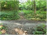 11
11 12
12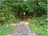 13
13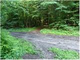 14
14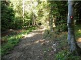 15
15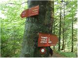 16
16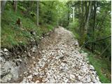 17
17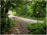 18
18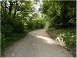 19
19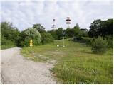 20
20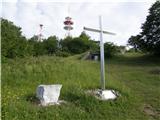 21
21 22
22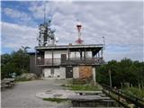 23
23 24
24
Discussion about the trail Strahomer - Krim (via Strmec)
|
| bojanu29. 11. 2015 |
Pot je zaradi širitve kolovoza in vleke lesa po trasi poti zaprta vsaj do aprila 2016.
|
|
|
|
| Eisheth6. 07. 2016 |
Danes šla po tej poti navzdol. Spodnji del je razbrazdan in uničen zaradi vleke lesa. Priporočam pot čez Kramarco.
|
|
|
|
| pclop12. 03. 2017 |
Gozdna dela so že nekaj časa bolj ali manj zaključena, zato je pot zopet normalno prehodna. Za razliko od "starih časov" je pot na spodnjem delu zamenjala gozdna cesta. Meni je ljubša od "razvlečene" Kramarce.
|
|
|
|
| robi210722. 04. 2018 |
Glede na podatke iz Geopedie je pristop čez Kramarco za cca. 400 m krajši od varante čez Strmec. Je pa tudi meni ta bolj všečna. Stvar okusa. Si pa lahko tole pot skrajšate za kakšnih 500 m, če potem, ko pridete do ceste (sl. 18), ne zavijete levo in nadaljujete po cesti, temveč cesto le prečkate in se na drugi strani takoj spet podate med drevje. Do doma tako pridete z zadnje stani. Ta del sicer ni markiran, vendar je pot dovolj uhojena, da je sledljiva. Sicer pa je celotna pot iz Strahomera do vrha brez posebnosti, le tu in tam vas pričaka kakšno padlo drevo, ki pa ga boste brez težav prečkali oz. zaobšli.
|
|
|
|
| Mikens23. 06. 2019 |
POMEMBNO!
Vse pohodnike naprošam, naj imajo pse na vrvici! (območje medveda.)
Lep lovski pozdrav.
Klement Mal, LD Tomišelj
|
|
|
|
| pclop6. 04. 2021 08:45:31 |
Fotografije spodnjega dela poti so zastarele in zavajajoče, saj je tam že par let gozdna cesta.
|
|
|