Starting point: Straža (253 m)
| Lat/Lon: | 46,1005°N 13,9501°E |
| |
Time of walking: 1 h
Difficulty: easy marked way
Altitude difference: 410 m
Altitude difference po putu: 410 m
Map: Škofjeloško in Cerkljansko hribovje 1:50.000
Recommended equipment (summer):
Recommended equipment (winter):
Views: 2.761
 | 1 person likes this post |
Access to the starting point:
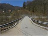
a) First drive to Idrija, then continue to Tolmin. When you arrive in Straža, more precisely when you see the traffic lights at the crossroads where the road to Cerkno turns off to the right, just a few metres before the crossroads, turn left over the bridge over the Idrijca river onto the road towards the village of Jagršče. You can park just after the bridge or higher up in a suitable place along the road.
b) Take Most na Soči or Podbrdo to Bača pri Modreju and then continue towards Idrija. Just a few metres after the junction where the road from Cerkno joins from the left, turn right towards the village of Jagršče. You can park just after the bridge or higher up in a suitable place along the road.
Path description:
Continue along the road, which initially runs parallel to the Idrijca River and then leads you past a few houses. The road turns slightly to the right and we follow the signs "Jagršče". The asphalted road then climbs through the forest in switchbacks for some time. Higher up, more and more beautiful views begin to open up and the road leads us out of the forest. There is a short climb along the scenic road to the church in the village of Jagršče.
Pictures:
 1
1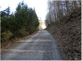 2
2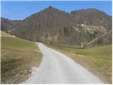 3
3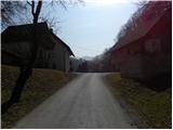 4
4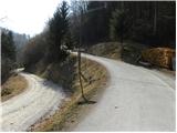 5
5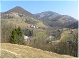 6
6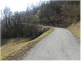 7
7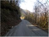 8
8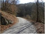 9
9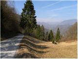 10
10 11
11 12
12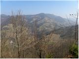 13
13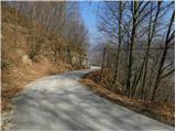 14
14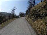 15
15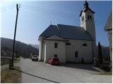 16
16
Discussion about the trail Straža - Jagršče