Strugarjach / Strugarje - Sinacher Gupf / Psinski vrh
Starting point: Strugarjach / Strugarje (1086 m)
| Lat/Lon: | 46,4823°N 14,1999°E |
| |
Time of walking: 1 h 30 min
Difficulty: easy marked way
Altitude difference: 491 m
Altitude difference po putu: 491 m
Map: Karavanke - osrednji del 1:50.000
Recommended equipment (summer):
Recommended equipment (winter): ice axe, crampons
Views: 4.248
 | 1 person likes this post |
Access to the starting point:
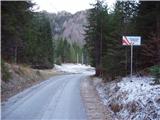
We drive to the Ljubelj border crossing and on to the Austrian side. Shortly after, when you see a small church on the left side of the road, the road to the village of Žabnica / Bodental branches off to the left. At the crossroads after Slovenji Plajberk, continue straight on towards Strugarje / Strugarjach. Follow this road to the beginning of the village and park just a few tens of metres further on in the roadside parking lot near the mountain signs (marked Križnik on the map).
Path description:
From the parking lot, continue along the road which, after a 20-minute gentle climb with beautiful views, leads to the hamlet of Strugarje / Strugarjach. Here we continue between the houses, still on the road. Leave the road a few tens of metres behind the village at a point where signs point to the right.
After a few metres of walking on the meadow, the way ahead leads to the edge of the forest, where you can see a hunting observation post on the right-hand side. Here our path heads slightly downhill to the left and, after a few metres of descent, leads us to cart track, which we follow to the right. This cart track has a crossroads after a few steps, where you continue straight up (left down Bistrica v Rožu / Feistritz). Continue on the cart track, which climbs quite steeply and leads you a little higher to a larger clearing overgrown with tall grass. At the end of this clearing, leave cart track and turn left onto the marked path. After a short, gentle climb, the path crosses cart track (you can also follow cart track to get here). Here, the path leads to the western ridge, which you then climb along and over. The way forward takes us mostly through the forest, which only thins out a few minutes below the summit. There is then a slight climb up the increasingly scenic summit slope to the cross standing at the top.

Pictures:
 1
1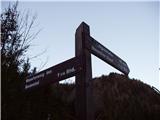 2
2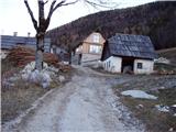 3
3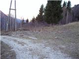 4
4 5
5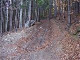 6
6 7
7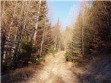 8
8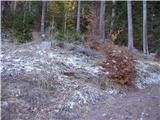 9
9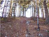 10
10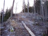 11
11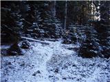 12
12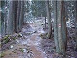 13
13 14
14 15
15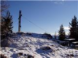 16
16
Discussion about the trail Strugarjach / Strugarje - Sinacher Gupf / Psinski vrh
|
| Guest28. 12. 2007 |
Današnji dan sva v lepem sončnem vremenu preživela pri sosedih na Koroškem.Prijeten izlet,vendar je pot zaradi pomankanja snega na nekaterih mestih poledenela(priporočam dereze).Več lahko preberete v knjigi g.Željka Kozinca Lep dan kliče 4.
L.p.Joži,Miha
|
|
|
|
| MateZ10. 07. 2020 |
Včeraj sem bil na Psinskem vrhu. Lep izlet, lepi pogledi in niti ene žive človeške duše. Pazite na dovozni cesti, kjer je nekaj divjih prečkanj hudournika.
|
|
|