Suhadolnik - Bivouac in Kočna (via Grdi graben)
Starting point: Suhadolnik (901 m)
| Lat/Lon: | 46,3352°N 14,5102°E |
| |
Name of path: via Grdi graben
Time of walking: 3 h 30 min
Difficulty: very difficult marked way
Altitude difference: 1051 m
Altitude difference po putu: 1051 m
Map: Kamniške in Savinjske Alpe 1:50.000
Recommended equipment (summer): helmet
Recommended equipment (winter): helmet, ice axe, crampons
Views: 12.685
 | 1 person likes this post |
Access to the starting point:
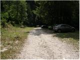
From the motorway Ljubljana - Jesenice take the exit Kranj - East and follow the road towards Jezersko, but only as far as the village of Kokra. In this village, just a few metres before the road crosses the bridge over the Kokra River, you will see a road leading towards Suhadolnik. The road turnoff is located when we are on the right side of the river (left bank) and the road marker is about 7km. Follow this road to the parking area, which is located about 200m in front of the Suhadolnik farm.
Path description:
At the beginning of the parking lot, you will see mountain direction signs directing you to the road, which will take you to a small crossroads near the Suhadolnik farm in less than 5 minutes. Here we continue along the right-hand road, and we follow it for about 5 minutes, or until the place where the signs lead us to the ascending cart track. We then climb cart track for a short distance, and then the signs direct us to the right onto a footpath which climbs moderately through the forest. Higher up, we return to cart track, which leads us a few metres further to a forest road, which we then follow to its end (it takes about half an hour to get here).
At the end of the road, the marked path splits into two parts. Continue along the left-hand path (to the right, the slightly easier "Old Path"), which climbs further along the folded cart track. A little further on, the markings direct us slightly to the right onto torrential layers of sand, and the path continues through the forest on the other side, where it starts to climb steeply. Higher up, we reach a small cave, and the path beyond it becomes technically difficult. With the help of a rope ladder, we climb a step higher, and the path then continues on a steep slope, where occasionally a wedge helps us. Higher up, the path turns to the right, climbs steep and, especially in the wet, slippery slopes and then leads to an excellently protected crossing. With the help of wooden steps or ladders and the aid of a rope ladder, we climb up the steep slope, which would be very dangerous without the aforementioned fixed safety gear. Higher up, we are helped by a few more pegs, and the route then lays down and crosses a short exposed slope, where we are helped by an emergency fence. Just a little further on, we come to the next ladder, which does not have a belay, but the crossing is not particularly difficult. There is a short descent into a small gully, which is crossed after this. On the other side of the gully we climb steeply (a few staples help us), and then the path slowly lays down and in a few 10 steps of further walking leads us to a place where it joins the slightly easier "Old Path".
There is a short cross-climb and the path leads us to a larger plain where the "old hut" once stod. Cross the tall grasses to the other side of the plain and arrive at a marked crossroads. At the crossroads, turn left to follow the signs Dolci, Kokrška Kočna. The path then begins to climb steeply on a less well-trodden track over a grassy slope. Soon turn slightly left and cross steep exposed slopes. The path then begins to descend gently and crosses Grdi graben. Again we start climbing up the steep slope and then the path leads us to the grassy slopes (Srednji Dolci). On the right we join the path from Kokrsko sedlo, a few metres later we are again at the crossroads. Bear left towards the bivouac and Kokrska Kočna, and right towards Dolška škrbina and then on to Jezerska Kočna or Grintovec. The path then crosses a scree slope to the left and climbs over a short ravine.
Just above the ravine, an unmarked path branches off to the left towards Bivouac in Kočna, which can already be seen and is only a few minutes' walk from the marked path.

Pictures:
 1
1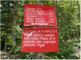 2
2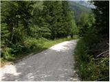 3
3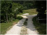 4
4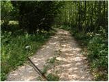 5
5 6
6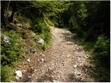 7
7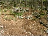 8
8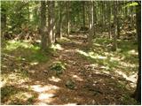 9
9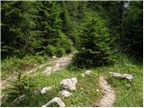 10
10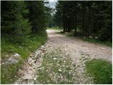 11
11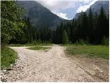 12
12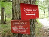 13
13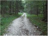 14
14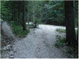 15
15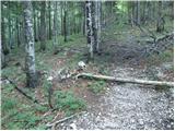 16
16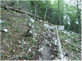 17
17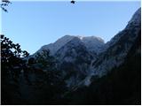 18
18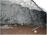 19
19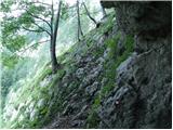 20
20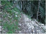 21
21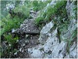 22
22 23
23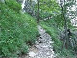 24
24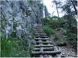 25
25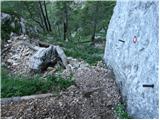 26
26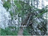 27
27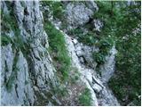 28
28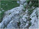 29
29 30
30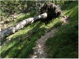 31
31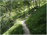 32
32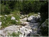 33
33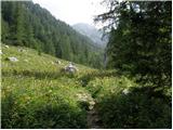 34
34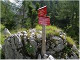 35
35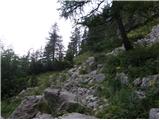 36
36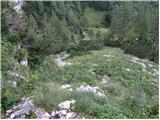 37
37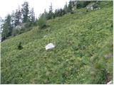 38
38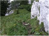 39
39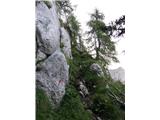 40
40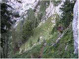 41
41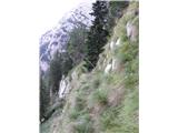 42
42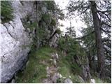 43
43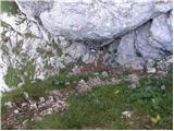 44
44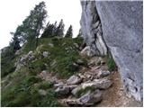 45
45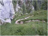 46
46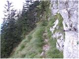 47
47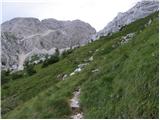 48
48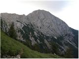 49
49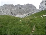 50
50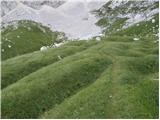 51
51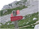 52
52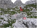 53
53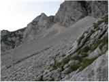 54
54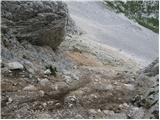 55
55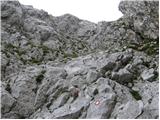 56
56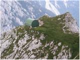 57
57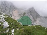 58
58
Discussion about the trail Suhadolnik - Bivouac in Kočna (via Grdi graben)
|
| velkavrh1. 08. 2010 |
Pred današnjim dnem sem to pot že večkrat naredil. Šel sem mimo pred dvema letoma, ko sem šel mimo na poti na obe KOčni in Grintavec. Pred leti pa sem šel tu mimo pri poti naprej na sedlo in nato na Grintavec. Pot je bila danes zahtevna predusem zaradi trave , ki prerašča pot in zaradi vlažnih tal od minulega dežja. Ko prispeš na Spodne Dolce je kot bi prišel v zeleno pravljico. Pred leti sem tu videl cel trop gamsov. Tokrat se uzrl samo enega pri bivaku. Ta bivak mi je najljubši v Kamniškosavinskih. Je kot prijazen domek za eno noč. Gor sem šel čez Taško . Veljalo bi popraviti le zadnjo lestev, ki utegne postati nevarna. Na tej poti bi skoraj bila potrebna čelada, ker je na poti precej kamenja in nikoli ne veš , če ne bo pohodnik pred tabo kaj sprožil. Naprej sem šel čez Ovnov ćer na Cojzovo kočo. Pravzaprav je to prečenje Grintavca po pobočju. To pot se uporablja pri turah iz Cojzove koče na obe Kočni in na Grintavec s sedla. Prijetna tura za skoraj cel dan. Bivak ima celo vpisno knjigo. Pohvalno!
|
|
|
|
| kolpa9. 07. 2011 |
Na poti na K.Kočno, J.Kočno, Grintovec sem se ustavil pri bivaku v Kočni. Bivak je ostal brez pločevinaste zaščitne strehe, ki jo je verjetno odnesel zadnji sneg. Streha v notranjosti na nekaj mestih že prepušča, saj je verjetno lepenka, ki je pod lesenim opažem na nekateri mestih že preperela. V dobro nas planincev bi bilo potrebno streho obnoviti v prvotno stanje. Bivak je v vremenskih razmerah kot so bile 7.(zvečer)in 8.(zjutraj)7.2011 zelo uporaben in daje varno zatočišče.
|
|
|
|
| metod6. 07. 2013 |
Danes sem šel malo drugače do bivaka. Na tej spletni strani sem našel opis "poti" skoraj direktno od Suhadolnika čez vzhodno pobočje Kočne do bivaka. Malo sem se lovil v spodnjem delu, a je šlo. Vstopil sem v gamsji raj, saj so se podili na vse strani. Res lepa tura za miru željne. Nadaljeval sem pod Streho do Cojzove. V dolino sem se vrnil po stari stezici, ki pelje nad Pasjo glavo. Res zanimivo! Skoraj sem zašel, saj je gamsjih stezic obilo in te hitro zavedejo. Predvsem je pomembno, da se ne spustimo prehitro po grapi proti dnu doline. Stezica vodi povsem do zadnje, prave grape, ki se izteče v prodišče v smeri Suhadolnika. Krasno, še bom šel!
|
|
|