Sveti Jurij - Kačova mlaka
Starting point: Sveti Jurij (251 m)
| Lat/Lon: | 46,80142°N 16,037°E |
| |
Time of walking: 2 h
Difficulty: easy marked way
Altitude difference: 14 m
Altitude difference po putu: 215 m
Map: Pomurje 1:40.000
Recommended equipment (summer):
Recommended equipment (winter):
Views: 313
 | 1 person likes this post |
Access to the starting point:
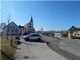
Take the Gederovci (to get here from Radenci or Murska Sobota) and continue driving towards Kuzma. When you arrive in Sveti Jurij, turn right just after the church and park in the parking lot near the church of St. George and the Sveti Jurij Primary School.
Path description:
From the parking lot, continue north and walk parallel to the main road, and after the police office, turn right and follow the marked road down to the sports field, and on the other side of the field you will come to a marked crossroads.
At the crossroads, the path to the left leads to Planinska cottage rak, and we continue straight ahead and climb slightly along the dirt road. The road quickly turns right, and we continue straight on the bend and continue along the ascending marked path, which leads us after a few minutes to the asphalt road. Shortly after leaving the municipality of Rogašovci, the road is laid and leads out of the forest to an unmarked crossroads.
The cemetery at Somovski Breg is slightly to the left, and we take the road slightly to the right and begin a moderate descent. The road continues to lead us past individual houses, and at the crossroads we continue along the main path or follow the markings, which are not very frequent. The descent ends on the flat part, where from a marked crossroads you continue straight towards Grad (on the left, the Rak Mountain Cottage).
Just a little further on, cross the Lukaj stream over a bridge, and go left from the crossroads where you reach a wider road. The way forward takes you past the bus station, and after a few 10 steps you leave the wider road and continue to the right in the direction of the Pomurska mountain trail. Further on, we climb again along the asphalt road, which opens up beautiful views of the surrounding area, and higher up, looking back, also of Stradner Kogel in Austria.
When the road is laid, we reach a small hamlet where the asphalt ends and the road turns right into the forest. A little further on, signs direct us slightly right onto a footpath which continues along a gently sloping cart track, and at crossroads follow the signs. Continue for some time without any major changes in elevation, and after a crossroads with several cart tracks, gradually begin to descend. Lower down we descend along a forest mountain path, and when we leave the forest we arrive at Kačova mlaka. The description and figures refer to the situation in March and April 2021.

Pictures:
 1
1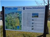 2
2 3
3 4
4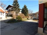 5
5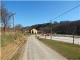 6
6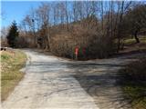 7
7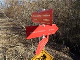 8
8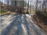 9
9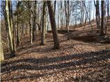 10
10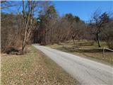 11
11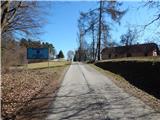 12
12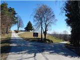 13
13 14
14 15
15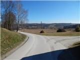 16
16 17
17 18
18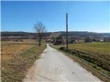 19
19 20
20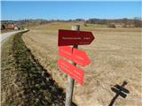 21
21 22
22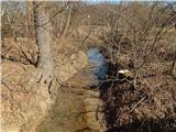 23
23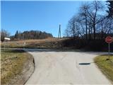 24
24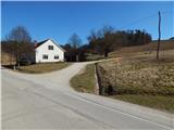 25
25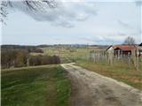 26
26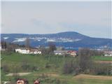 27
27 28
28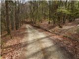 29
29 30
30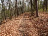 31
31 32
32 33
33 34
34 35
35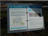 36
36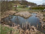 37
37
Discussion about the trail Sveti Jurij - Kačova mlaka