Starting point: Sveti Tomaž (293 m)
| Lat/Lon: | 46,48274°N 16,08009°E |
| |
Time of walking: 1 h 50 min
Difficulty: easy marked way
Altitude difference: 59 m
Altitude difference po putu: 160 m
Map:
Recommended equipment (summer):
Recommended equipment (winter):
Views: 173
 | 1 person likes this post |
Access to the starting point:
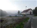
a) Take the Ptuj, then follow the signs for Ljutomer and later Sveti Tomaž. When you arrive in Sveti Tomaž, park in one of the car parks in the village.
b) From the road Ormož - Ptuj, in the settlement Mihovci pri Veliki Nedelji turn right towards Velika Nedelja and continue towards the settlement Savci, where you turn right towards Ljutomer and Sveti Tomaž. When you arrive in Sveti Tomaž, park in one of the car parks in the village.
c) From Ljutomer, drive towards Ptuj and Sveti Tomaž. When you arrive in Sveti Tomaž, park in one of the car parks in the village.
Path description:
From the centre of the village, follow the main road as it continues west to south-west, initially passing by the primary school. The settlement of Sveti Tomaž soon ends, and from the nearby crossroads we continue to the right in the direction of Rakovci and Trnovci, and we continue along the narrow asphalt road, with signs along the way. There is some walking through the woods, and when we leave the woods we pass individual houses. When you reach the hamlet of Trnovski breg, turn right from the asphalt road onto the marked macadam road, along which there are signs for Gomilo.
Continue on the dirt road leading to the nearby farm, and before the farm, the signs point you left downhill, where you will follow the cart track down to the edge of the forest. Continue along the edge of the wood for a short distance, then the path enters the wood and descends more visibly. At a lower level you reach a farm, which you go around on the right, and when you reach an asphalt road, go right, and after a few steps, go left. Again, there are signs, and in a few minutes, after a slight ascent, you reach a bend to the right, where you turn slightly left onto a road with a sign indicating that you will continue along a dead end. A few minutes further on, you reach the next crossroads, where you continue straight on (there are no more dead-end signs at this crossroads), and the path then takes you past a chapel and a few houses, before the last house, bear slightly left onto the cart track, which continues across a meadow. After a few minutes of easy walking, you arrive at the edge of the forest, where you start to climb steeply. Higher up, the path turns first right and then left. Continue through the yard of an older house, and quickly follow the dirt road behind it to a marked crossroads, where you reach an asphalt road. Follow the road to the right towards the lookout tower at Gomila, and at a small fork take the road slightly to the right. Go a little further to the left and you will reach the refreshment room at the Tower, where you will go left again. There is a short climb up some steps to reach the top of Gomila, where there is a lookout tower.
Description and figures refer to the situation in October 2022.

Pictures:
 1
1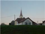 2
2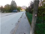 3
3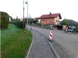 4
4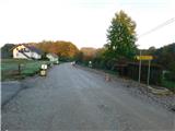 5
5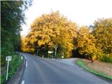 6
6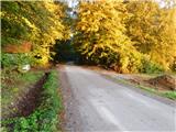 7
7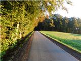 8
8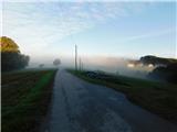 9
9 10
10 11
11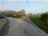 12
12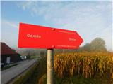 13
13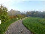 14
14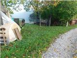 15
15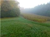 16
16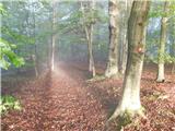 17
17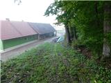 18
18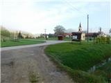 19
19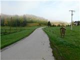 20
20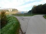 21
21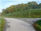 22
22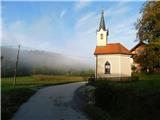 23
23 24
24 25
25 26
26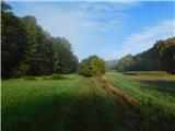 27
27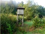 28
28 29
29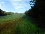 30
30 31
31 32
32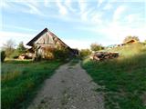 33
33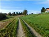 34
34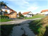 35
35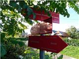 36
36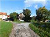 37
37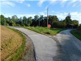 38
38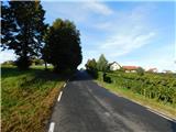 39
39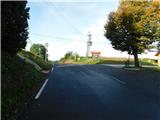 40
40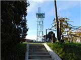 41
41 42
42 43
43
Discussion about the trail Sveti Tomaž - Gomila