Starting point: Sveti Tomaž (293 m)
| Lat/Lon: | 46,48274°N 16,08009°E |
| |
Time of walking: 10 min
Difficulty: easy marked way
Altitude difference: 32 m
Altitude difference po putu: 32 m
Map:
Recommended equipment (summer):
Recommended equipment (winter):
Views: 195
 | 1 person likes this post |
Access to the starting point:
a) Take the Ptuj, then follow the signs for Ljutomer and later Sveti Tomaž. When you arrive in Sveti Tomaž, park in one of the car parks in the village.
b) From the road Ormož - Ptuj, in the Mihovci pri Veliki Nedelji settlement, turn right towards Velika Nedelja and continue towards Savci, where you turn right towards Ljutomer and Sveti Tomaž. When you arrive in Sveti Tomaž, park in one of the car parks in the village.
c) From Ljutomer, drive towards Ptuj and Sveti Tomaž. When you arrive in Sveti Tomaž, park in one of the car parks in the village.
Path description:
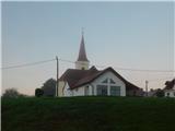
From the centre of the village, follow the side road leading past the church and the sports club south to the south-east. The central part of Sveti Tomaž ends behind the sports club building, and after a few minutes we reach the hamlet Kostanj, where the road starts to climb, and we go left at a small crossroads, onto a side road, along which the signs continue. At first we pass a few more houses, and then we follow the cart track up to the nearby hill Kostanj, where there is a registration box.
The description and pictures refer to the situation in September 2022.
Pictures:
 1
1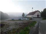 2
2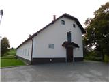 3
3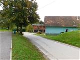 4
4 5
5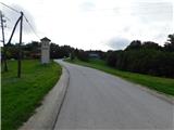 6
6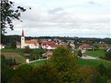 7
7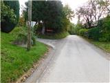 8
8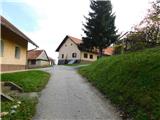 9
9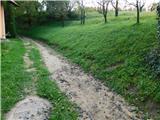 10
10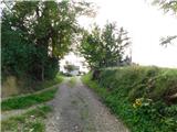 11
11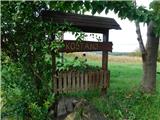 12
12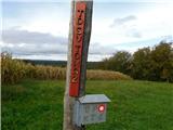 13
13 14
14
Discussion about the trail Sveti Tomaž - Kostanj