Tacen - Grmada (Mazijeva steza)
Starting point: Tacen (303 m)
| Lat/Lon: | 46,1183°N 14,4615°E |
| |
Name of path: Mazijeva steza
Time of walking: 1 h 10 min
Difficulty: easy marked way
Altitude difference: 373 m
Altitude difference po putu: 385 m
Map: Ljubljana - okolica 1:50.000
Recommended equipment (summer):
Recommended equipment (winter): ice axe, crampons
Views: 12.928
 | 1 person likes this post |
Access to the starting point:
a) From the Ljubljana - Jesenice motorway, take the Ljubljana - Šmartno exit and then continue to Tacno. When you reach the bridge over the Sava River, turn right at the junction in the direction of Vikrče and Pirnič. Just after the crossroads, turn right again into a large marked parking area.
b) From Celovška cesta in Ljubljana, just after the entrance to the Gorenjska motorway, the road to Vižmary and Tacno turns right (if you are coming from the Medvo side, just before the entrance to the motorway, turn left). Continue driving towards Tacno, and then, just after crossing the bridge over the Sava River, park in the large parking lot.
Path description:
At the beginning of the parking lot, you will see the mountain signs for Šmarna gora, which first lead you along the pavement and then direct you to the right onto Thumova Street. After a few minutes of easy walking, we reach the intersection of Thumova Street and Ulica Janeza Rožiča, and we continue straight along the narrow mountain path. After a short, gentle climb, we reach a road, but we just cross it and continue our ascent along the increasingly steep mountain path. The path, which continues through the forest, lies higher and leads us to the plain of Spodnja Kuhinja.
At Spodnja Kuhinja there is a marked crossroads, and we continue to the left in the direction of the Mazijeva track at Grmada (straight ahead Sedlo, right Partizanska steza). The path continues to climb gently to the left for some time, and at the crossroads we follow the path in the direction of the Mazijeva track. There is a short downhill and the path leads to a crossroads where the path from Vikrče joins, and we continue slightly right in the direction of Grmada along Mazi's track.
The way forward begins to climb steeply through the forest, and we begin to open up occasional views towards the valley and part of the Polhograjske Dolomites. Higher up, the trail leads to the Grmada ridge, where we join the Pogačnik and Westro trails.
At the crossroads, continue to the right, and we follow the ridge path, which continues through the forest, all the way to the top of Grmada.

We can extend the trip to the following destinations: Šmarna gora
Pictures:
 1
1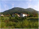 2
2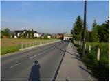 3
3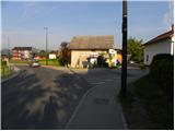 4
4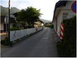 5
5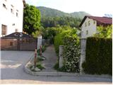 6
6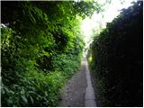 7
7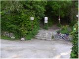 8
8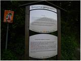 9
9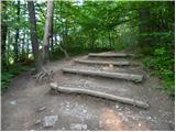 10
10 11
11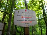 12
12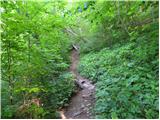 13
13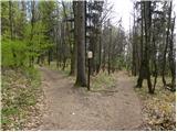 14
14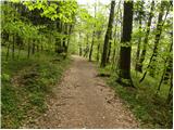 15
15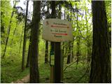 16
16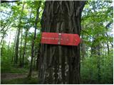 17
17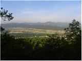 18
18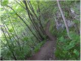 19
19 20
20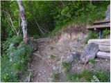 21
21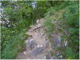 22
22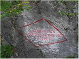 23
23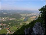 24
24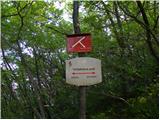 25
25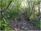 26
26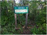 27
27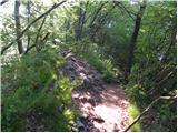 28
28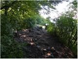 29
29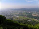 30
30
Discussion about the trail Tacen - Grmada (Mazijeva steza)
|
| Pohodnica5617. 05. 2012 |
V soboto je bila na poti čez korenine, kot ji radi rečemo, procesija. Tale Mazijeva pride kako zelo prav, nobene gužve, nobenega umikanja dirjajočim mladcem. Če ne dopušča čas kakšnega malce bolj oddaljenega "kuclja", je tole prava sprostitev.
|
|
|
|
| Kozorog18. 05. 2012 |
anya - nič bat saj je za večino prestrma!
|
|
|
|
| Pohodnica5618. 05. 2012 |
Točno to kar pravi Kozorog.Še vedno bomo malce bolj v miru sopihali 
|
|
|
|
| POLJANC19. 05. 2012 |
Če hočete v miru sopihati priporočam Westrovo.Lep pozdrav vsem ljubiteljem Šmarne gore.
|
|
|
|
| VanSims19. 05. 2012 |
@POLJANC: Načeloma, da če se po njej ne sprehaja imbecil z dvema odvezanima boxerjema(žal doživeto).
|
|
|
|
| Vassago21. 09. 2018 |
Lahek do srednje zahteven (za začetnika) pohod, ki kmalu preide v dnevno rekreacijo. Mazijeva steza je mnogo manj obljudena v primerjavi s potmi na Šmarno goro, pa je občutek, da ste v naravi in na hribu bistveno bolj pristen.
|
|
|