Tegoška planina - Pungartska gora
Starting point: Tegoška planina (1430 m)
| Lat/Lon: | 46,4313°N 14,3737°E |
| |
Time of walking: 1 h 30 min
Difficulty: easy pathless terrain
Altitude difference: 595 m
Altitude difference po putu: 595 m
Map: Karavanke - osrednji del 1:50.000
Recommended equipment (summer):
Recommended equipment (winter): ice axe, crampons
Views: 18.614
 | 1 person likes this post |
Access to the starting point:
From the motorway Ljubljana - Jesenice take the exit Tržič (Ljubelj) and then continue on the expressway towards Tržič. Here, just before the petrol station, turn right and descend into the centre of Tržič. Continue along a slightly narrower road through Dolžanovo gorge to the village of Dolina and a little higher to Jelendol. Here, turn left (straight on the lower road Medvodje) and continue along the initially still asphalted road towards the mountains of Kofce, Šija and Pungrat. The road then soon becomes macadam and starts to climb steeply on a sometimes quite rutted road. Higher up, the road gives way to the bed of the Dolžanka stream and gradually leads into a slightly less dense forest. Further on, the road has a few more crossroads, and we follow the signs for Tegoško mountain pasture. We park in a small parking lot about 100 m in front of the shepherd's hut on Tegoška mountain pasture.
Path description:
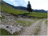
From the parking lot, climb along a small torrential gully to the edge of the forest, where you will find a marked path leading from mountain pasture Kofce to mountain pasture Dolga njiva.
Here we have two options for continuation, both of which are along a trackless path.
You can choose the route that continues through the torrential ravine, where you climb straight up the ravine, crossing lane of dwarf pines a few times. After about 20 minutes of climbing, when we get above the lane of the forest, the vast, uncultivated slopes of the Tegoška Mountains open up in front of us.
You can also get here by following the marked trail to the right at the beginning and then leaving it when the passage over dwarf pines opens up on your left. After an easier trackless climb above lane of dwarf pines and then continue slightly to the left.
Above the forest boundary, or the dwarf pines strip, the slope becomes steeper and steeper, and we keep slightly to the left, where the slopes are slightly less steep and initially also still covered with individual dwarf pines strips. Higher up, the slope is noticeably steeper, where, especially in wet conditions, there is also the possibility of slipping on the grassy slope in a few places. Higher up, the slope flattens out a little again, and we climb to the main ridge of Košuta, where we reach the marked ridge path, with increasingly beautiful views.
When you reach the trail, follow it to the left (Tegoška gora on the right), and it begins to climb steeply along the boundary ridge. Follow this path, which is also exposed in a few places, all the way to the grassy summit of Pungartska Gora.

Pictures:
 1
1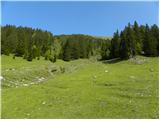 2
2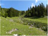 3
3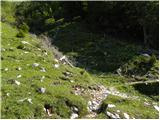 4
4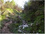 5
5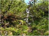 6
6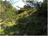 7
7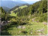 8
8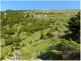 9
9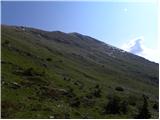 10
10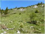 11
11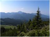 12
12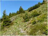 13
13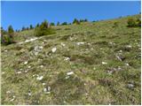 14
14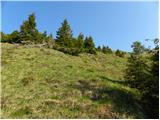 15
15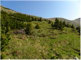 16
16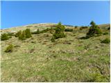 17
17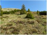 18
18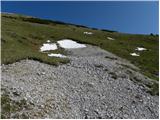 19
19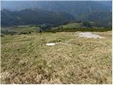 20
20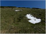 21
21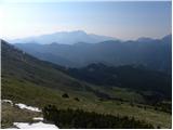 22
22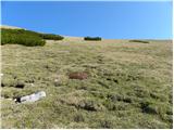 23
23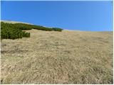 24
24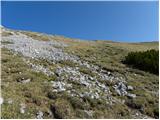 25
25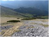 26
26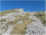 27
27 28
28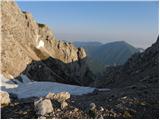 29
29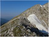 30
30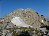 31
31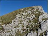 32
32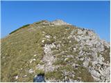 33
33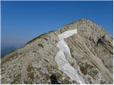 34
34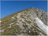 35
35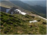 36
36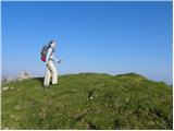 37
37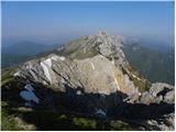 38
38
Discussion about the trail Tegoška planina - Pungartska gora
|
| michael6627. 08. 2014 |
a kdo ve koliko časa se hodi od pl.kofce do tegoške planine??
|
|
|
|
| grega_p28. 08. 2014 |
Hvala za opis, mi je dala idejo za prelep izlet v teh koncih. Sicer sem zaradi občasne megle in množice krav :-) zavil po rušju preveč desno in sem se potem odločil za vzpon na Tegoško goro.
Polno borovnic in prelepih razgledov!
p.s. Cesta je v malce slabšem stanju zaradi obilice padavin..
|
|
|