The Kot Valley - Požgana Mlinarica
Starting point: The Kot Valley (950 m)
| Lat/Lon: | 46,4157°N 13,8977°E |
| |
Time of walking: 4 h
Difficulty: difficult unmarked way
Altitude difference: 918 m
Altitude difference po putu: 1050 m
Map: Triglav 1:25.000
Recommended equipment (summer): helmet
Recommended equipment (winter): helmet, ice axe, crampons
Views: 10.100
 | 2 people like this post |
Access to the starting point:
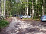
Leave the Gorenjska motorway at the Hrušica exit and follow the road towards Kranjska Gora. Just before the village of Dovje, the road branches off to the left and leads to Mojstrana (Vrata, Kot and Krma). Follow the road in the direction of the village of Radovna and the valleys of Krma and Kot. The relatively steep road then leads us past the TNP signboard, after which the road soon lays down and leads us to a crossroads where a dirt road branches off to the right into the Kot valley (straight ahead to Radovna and Krma). This sometimes slightly worse road is then followed to a parking area, where you will also see mountain signs.
Path description:
From the parking lot, continue along the wide cart track (worse road), which after a few minutes of easy walking leads to a turning point (parking is not recommended here). Here, the marked path towards Stanič's home descends slightly and crosses the torrent, and we continue slightly to the right on the cart track, which climbs gently up the right side of the torrent (left bank). After about 3 minutes' walk from the turning point, the unmarked hunting trail branches off to the right from the cart track, and we continue our climb on this trail. The path, which initially climbs steeply, leads us quickly to a small stream, along which we climb for a short time and then cross it. On the other side of the stream, the path climbs relatively steeply in numerous bends and after a while leads us out of the forest onto a rather overgrown grassy slope. The path from which we have views mainly of Macesnovec, Luknja Furnace and Rjavina is again hidden in the forest higher up. When the path leads us to a nondescript side ridge, we can climb in a few steps to a beautiful viewpoint from which we can see the peaks above the Kot and Krma valleys.
On an inconspicuous ridge, the path turns left (not along the ridge) and leads us in a cross-climb to a small grassy scree field surrounded by numerous larch trees. The path then goes into the forest again, turns right at a higher altitude and after a slightly longer cross-climb leads us to the main ridge, where we continue to the sharp left.
The path continues along a steep and relatively narrow forested ridge (a slip hazard in wet conditions). The not-too-difficult path up to here then leads to the Rušnata Mlinarica summit, where the less experienced can also finish the trip (the summit is recognisable by its large man). The route continues along the ridge, which is increasingly overgrown with dwarf pines, but the passages are beautiful as dwarf pines is burnt. A little further on, the path leads to a short steep jump (at a scraped rock), where you have to climb 5 metres steeply upwards using dwarf pines. The route, which follows a relatively steep slope and occasionally a narrow ridge, then leads over a number of precipices and ravines to the rugged and scenic peak Rušnata Mlinarica. With Rušnata Mlinarica we continue along the narrow and sometimes exposed ridge. The difficulty continues unabated and there are a few more steep climbs and exposed traverses along the way. We mostly avoid the difficulties on the left side of the ridge. This route leads us all the way to the Požgana Mlinarica lookout peak.

Pictures:
 1
1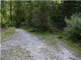 2
2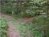 3
3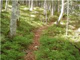 4
4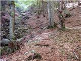 5
5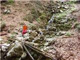 6
6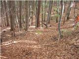 7
7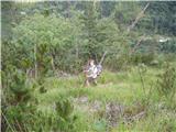 8
8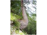 9
9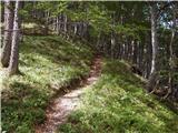 10
10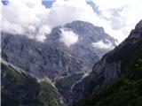 11
11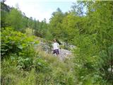 12
12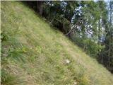 13
13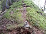 14
14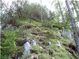 15
15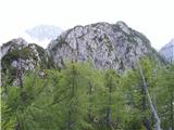 16
16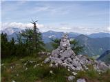 17
17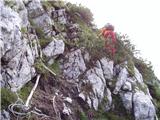 18
18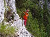 19
19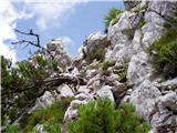 20
20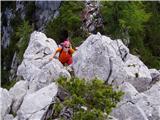 21
21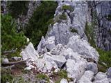 22
22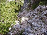 23
23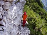 24
24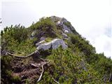 25
25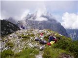 26
26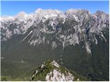 27
27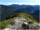 28
28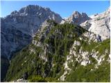 29
29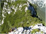 30
30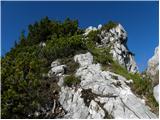 31
31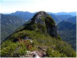 32
32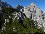 33
33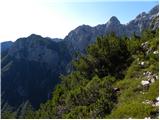 34
34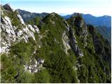 35
35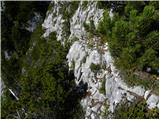 36
36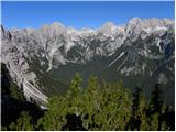 37
37 38
38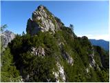 39
39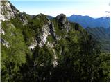 40
40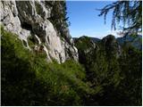 41
41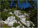 42
42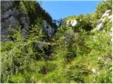 43
43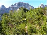 44
44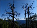 45
45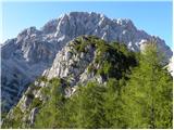 46
46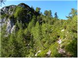 47
47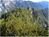 48
48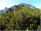 49
49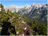 50
50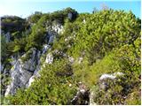 51
51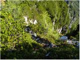 52
52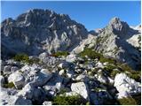 53
53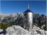 54
54
Discussion about the trail The Kot Valley - Požgana Mlinarica
|
| SilvestrO25. 06. 2012 |
Gornjemu opisu je enak sestop..., gor grede pa iz Kota po markirani poti proti Staničevemu domu ... ves čas študiram kje neki je tista prava polica ,... ko sredi stene zagledam veliko markacijo  , problema nema..., v gubah v desno in...,... po zgornjem opisu nazaj v Kot. Tura je bila raziskovalne narave... 
|
|
|
|
| ljubitelj gora24. 10. 2013 |
Ta teden sem se sredi dneva podal na Rušnato in Požgano Mlinarico, začnem v Kotu po nekaj minutah hoje na desni strani tik pred strugo zagledam možic, tu grem desno ob strugi navzgor in čez nekaj minut hoje zasledim na desni strani možic ter potko. Tej dobro vidni potki sledim do grebena tik pred grebenom zagledam na hitro gamsa, ki zbeži in ker je bila tam strmina konkretna začnem tudi jaz teči, po nekaj sekundah se obrnem in zagledam za seboj kako leti dol 10kg skala, še dobro da nisem slikal in bil pozoren na okolico. Na grebnu grem levo navzgor od tu se začne lepa pot, ki pa je tu in sem izpostavljena tudi brez poplezavanja ne gre v pomoč mi je bil rušje, pot je bila tudi delno mokra, zato sem bil bolj previden. Na vrhu Požgane Mlinarice je bilo veliko prostora, ker sem že enkrat slišal o neki poti, ki pride iz druge strani gor (V Gubah) tam grem še malo naprej v smeri Vrbanove špice a se odločim, da grem nazaj po grebenu, greben ni tako kratek, saj so vzponi, spusti a vseeno je bil lep vzpon ter tudi sestop. Več slik tule: https://plus.google.com/photos/114400986607884783562/albums/5937616667830255425
|
|
|
|
| foxy25. 10. 2013 |
LG, te moram pohvalit, zelo lepe fotke....na Mlinarice še nisem šla, sem pa šla v drugo smer, čez Požar pa vse do Črne gore....lep, nezahteven in zelo razgleden greben
|
|
|
|
| Jernej96811. 08. 2025 07:53:15 |
Včeraj sva s sinom prehodila to pot v nasprotni smeri, saj sva se na Požgano Mlinarico povzpela iz doline Za Cmirom. Opisana pot je precej zahtevna, zamudna in težavna. Zamudna predvsem zato, ker je greben zelo nazobčan pa še z ruševjem poraščen povrhu, pot pa v glavnem vodi prav po vrhu grebena. Ruševje je pot že precej preraslo, kar tudi ovira napredovanje. Pri strmih spustih pa je seveda ruševje v pomoč. Na dveh mestih sva tudi na kratko zašla, a sva pot spet hitro našla. Kar precej je bilo tudi lahkega plezanja, a so to kratki odseki, vendar nezavarovani. Za grebenski del poti od Požgane Mlinarice do odcepa v Kot sva porabila 3 ure.
|
|
|