The Krma Valley - Planina Zgornja Krma
Starting point: The Krma Valley (944 m)
| Lat/Lon: | 46,3851°N 13,9071°E |
| |
Time of walking: 2 h 30 min
Difficulty: easy marked way
Altitude difference: 776 m
Altitude difference po putu: 770 m
Map: Triglav 1:25.000
Recommended equipment (summer):
Recommended equipment (winter): ice axe, crampons
Views: 29.187
 | 3 people like this post |
Access to the starting point:
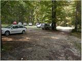
Leave the Gorenjska motorway at the Hrušica exit and follow the road towards Kranjska Gora. Just before the village of Dovje, the road branches off to the left and leads to Mojstrana (Vrata, Kot and Krma). Follow the road in the direction of the village of Radovna and the valleys of Krma and Kot. The relatively steep road then takes us past the TNP signboard, after which the road soon lays down and leads us to a crossroads where the macadam road to the valley of Kot branches off to the right. Continue straight ahead on the road, which begins to descend. In the middle of the descent, the road to the Krma valley branches off to the right (straight ahead Radovna). A little further on, you come to the next crossroads, where you continue to the right in the direction of Krma. The macadam road then leads to Kovinarska hut, and we follow it further. Occasionally, a slightly worse road then leads us to the parking lot in front of the gate.
Path description:
From the parking lot, continue past the ramp and follow the winding forest road, closed to public traffic. The minor road continues for a while over extensive gravel, then turns slightly right, where it enters the forest and turns into a rocky cart track. The path climbs gently through the forest for some time, and then, after crossing a slightly larger torrent, it begins to climb steeply through the dense forest. Higher up, the path leaves the forest into lane of dwarf pines, mixed with scrub, and climbs over the above-mentioned slope on rubble. At an altitude of about 1400 m the path lies down and after a further walk of a few 10 steps leads to a beautiful grassy plain called Vrtača.
On the other side of the plain, the wide path starts to climb again and after about 20 minutes of further walking leads us to Malo polje, where it turns to the right and leads us to a less conspicuous crossroads. Continue on the well-traced path (left Vodnikov dom via Bohinjska vratca), which climbs gently for a while and then leads to a water trough. Next, the path splits into two parts, and we continue straight on the marked path, which leads us over initially grassy, then slightly vegetated slopes to the shepherd's hut at mountain pasture Zgornja Krma.

We can extend the trip to the following destinations: Veliki Pršivec (1 h 30 min),
Teme (1 h 50 min),
Dom Valentina Staniča pod Triglavom (2 h 45 min),
Vrh Snežne konte (2 h 15 min),
Cmir (4 h 45 min),
Dom Planika pod Triglavom (2 h),
Visoka Vrbanova špica (3 h 5 min),
Begunjski vrh (3 h 15 min),
Triglavski dom na Kredarici (2 h 30 min),
Rjavina,
Rž (3 h 30 min),
Kredarica (2 h 35 min),
Triglav
Pictures:
 1
1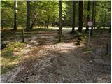 2
2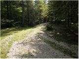 3
3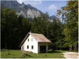 4
4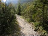 5
5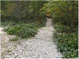 6
6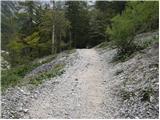 7
7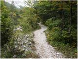 8
8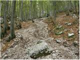 9
9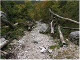 10
10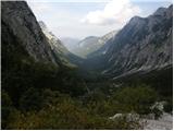 11
11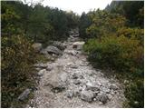 12
12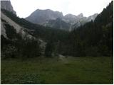 13
13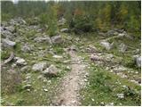 14
14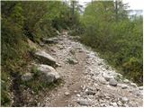 15
15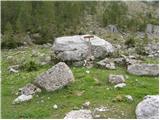 16
16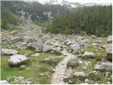 17
17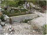 18
18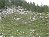 19
19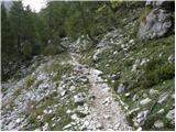 20
20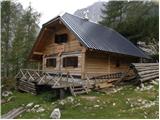 21
21
Discussion about the trail The Krma Valley - Planina Zgornja Krma
|
| Pohodnica5625. 02. 2012 |
Hm, še nihče ni nič napisal. Saj res ni bog ve kaj takle vzponček iz Krma do Prgarce, a se je bilo treba danes kar potrudit, da je bila premagana zadnja strmina, gaz ja kar navpično gor. Ljudi bom malo, nekaj smučarjev, ki so prismučali s Kredarice in nekaj pohodnikov za katere sem malce skeptična, če so res prišli iz Kredarice, brez vsake opreme ali pač, nekateri "znajo". Dan je bil, kljub temu, da se je začelo hitro oblačiti, perfekten.
|
|
|