Starting point: The Krma Valley (930 m)
| Lat/Lon: | 46,3851°N 13,9071°E |
| |
Time of walking: 4 h 20 min
Difficulty: difficult pathless terrain
Altitude difference: 1206 m
Altitude difference po putu: 1230 m
Map: TNP 1 : 50.000
Recommended equipment (summer): helmet
Recommended equipment (winter): helmet, ice axe, crampons
Views: 7.666
 | 1 person likes this post |
Access to the starting point:
Leave the Gorenjska motorway at the Hrušica exit and follow the road towards Kranjska Gora. Just before the village of Dovje, the road branches off to the left and leads to Mojstrana (Vrata, Kot and Krma). Follow the road in the direction of the village of Radovna and the valleys of Krma and Kot. The relatively steep road then takes us past the TNP signboard, after which the road soon lays down and leads us to a crossroads where the macadam road to the valley of Kot branches off to the right. Continue straight ahead on the road, which begins to descend. In the middle of the descent, the road to the Krma valley branches off to the right (straight ahead Radovna). A little further on, you come to the next crossroads, where you continue to the right in the direction of Krma. The macadam road then leads to Kovinarska hut, and we follow it further. Occasionally, a slightly worse road then leads us to the parking lot in front of the gate.
Path description:
From the parking lot, continue along the road past the gate to the extensive gravel deposits. A few minutes of easy walking on the gravel follows to a marked but sometimes harder to see crossroads. The footpath continues straight ahead, but signs point us right across the stream into the wods, where the path begins to climb gently. Only after about 40 minutes of walking does the path become steeper, but not to steep. At 1300m, the moderately steep path leads us out of the forest between dwarf pines. Here we start to get beautiful views of the nearby walls of the peaks above the Krma. The climb does not last long, however, as the path soon descends by a few metres and leads us to the beautiful mountain Vrtača. The walk across the beautiful grassy plain is very pleasant and scenic. On the other side, the path starts climbing again, this time through a rare forest. This climb does not last long either, and is interrupted by the Malo polje plain, where the path turns to the right. A moderately steep climb follows past a water trough to mountain pasture Zgornja Krma, where a shepherd's hut stands.
Just a few minutes above mountain pasture, the path leads to a crossroads at a small well. Continue to the right in the direction of Kredarica and Stanič's home (Planika on the left). After a few minutes of further walking, the gently sloping path leads us to the next crossroads, where we continue straight on in the direction of Stanič's home (left Kredarica). Continue almost horizontally along the path, which crosses a belt of sparse larch forest. The path then leaves the forest onto the viewing slopes and turns slightly to the left. At this point, where the marked path turns left, leave it and continue the ascent along an unmarked path which climbs up a small, unmarked valley (the turnoff is at about 2000 m). The path through this valley passes through dwarf pines and climbs only slightly. The path becomes less and less visible and disappears completely towards the end of the valley. Turn left here towards Rjavina and after a short climb, you will reach a grassy slope where you will see the remains of a bomber from the Second World War. Continue to the right along the lower scree to enter the slightly more difficult crossing towards Temeno. The challenging part is very short, but some caution is needed as there is a lot of rubble on the way. There is then a short scramble up a fairly steep grassy slope and down to Temeno.

We can extend the trip to the following destinations: Rjavina (1 h)
Pictures:
 1
1 2
2 3
3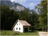 4
4 5
5 6
6 7
7 8
8 9
9 10
10 11
11 12
12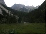 13
13 14
14 15
15 16
16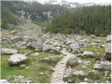 17
17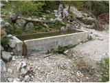 18
18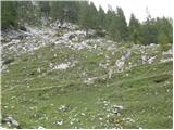 19
19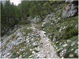 20
20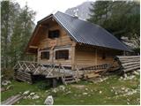 21
21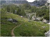 22
22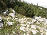 23
23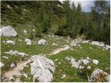 24
24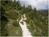 25
25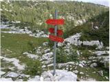 26
26 27
27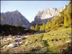 28
28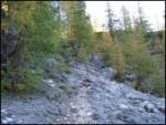 29
29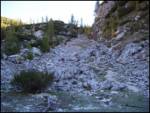 30
30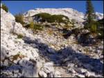 31
31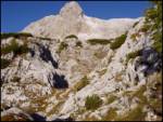 32
32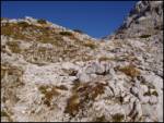 33
33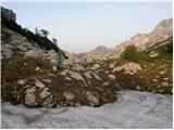 34
34 35
35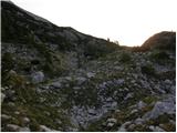 36
36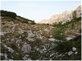 37
37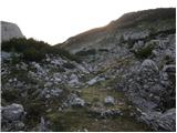 38
38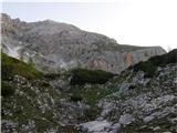 39
39 40
40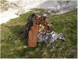 41
41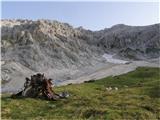 42
42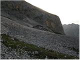 43
43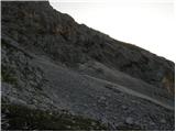 44
44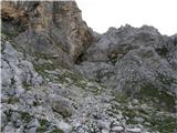 45
45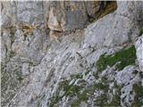 46
46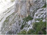 47
47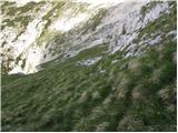 48
48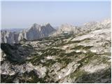 49
49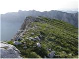 50
50
Discussion about the trail The Krma Valley - Teme
|
| tango14. 09. 2020 |
Današnji dan je bil kot nalašč za vzpon na Teme, saj je orientacija še kar zahtevna. Da ja ne bi kaj zgrešila, sva skočila na Veliki Pršivec, s katerega je bil pristop na Teme jasno viden. Šlo je brez težav, previdnost pa je od vstopa v ostenje pa tudi po strmih travah, ki so bile še malo vlažne, nujna. Sploh na delu, ki je viden na fotografiji 46. Od razbitin bombnika sva se vračala po malo višji varianti, ne povsem pod V.Pršivec in sva prišla v dolinico zelo na začetku, približno v delu, ki je razviden na fotki 38 in kjer sva šele ob povratku tudi opazila možica. Kar fajna tura in če ne bi bilo svizcev, bi bila od planine Zg. Krma naprej povsem sama.
|
|
|