Tinčkova koča - Vertatscha/Vrtača (via Smokuška planina and on the scree)
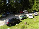
Starting point: Tinčkova koča (1070 m)
| Lat/Lon: | 46,4228°N 14,1991°E |
| |
Name of path: via Smokuška planina and on the scree
Time of walking: 3 h 30 min
Difficulty: easy unmarked way, partly demanding marked way
Altitude difference: 1111 m
Altitude difference po putu: 1111 m
Map: Karavanke - osrednji del 1:50.000
Recommended equipment (summer):
Recommended equipment (winter): ice axe, crampons
Views: 4.050
 | 2 people like this post |
Access to the starting point:
From the Ljubljana - Jesenice motorway, take the Lesce exit and follow the road towards Žirovnica and Jesenice. After a few km of driving, you will come to a crossroads where the road to Žirovnica and Moste turns right (from Jesenice, left). Just a few metres further, at the next crossroads, turn left into Moste (right into Žirovnica). Continue past the memorial to the fallen fighters, where the road starts to climb uphill under the railway line. At the top of the hill, turn right (at the Vila Karin sign) and we continue towards Završniškem jezero and Valvasor's home. The road then bends and leads to a crossroads where the road to Valvasor's home branches off to the left, and we continue straight ahead on the initially still asphalted road. The road soon becomes macadam, and we follow it to a parking area near Tinček's hut. The road is often in quite bad condition in the upper part.
Path description:
From the parking lot at Tinčková's cottage, continue along the wide stone cart track in the direction of the Doma pri spring Završnice (Home at the source of the Završnice River). After a few steps, the signs direct us slightly to the right, onto a slightly steeper footpath that climbs over a grassy slope with a view, and then returns to the aforementioned cart track, which we follow to the right. "After a few minutes' further walking, Cart track, which climbs relatively steeply through the woods, leads to a pasture fence, beyond which a marked crossroads is reached.
Continue straight on (slightly to the right of Roblek's house) along the still stony cart track, which leads us higher out of the forest to the vast pastures of Smokuč mountain pasture. Here the steepness gives way and the increasingly scenic route leads us in 15 minutes of further walking to the Home at the source of the Završnice River.
From the marked crossroads at Dom pri izviru Završnice, continue left in the direction of Vertatscha, Stol, Srednji vrh and the Šija saddle and follow the cart track, which climbs gently. At the beginning of the right-hand bend, the marked path cart track branches slightly to the left, and we continue on the unmarked cart track to the nearby second right-hand bend. From the second bend, continue straight ahead, where you see a path that is at first less visible, but which becomes more distinct as soon as it turns into the forest. In the forest the path turns slightly left and continues for a short time without any significant change in elevation, then leads to an unmarked crossroads where it continues upwards to the right. The path ahead quickly becomes quite steep and climbs through a spruce forest, which is replaced by dwarf pines higher up. A little further on from dwarf pines, you reach a scree slope, which you then follow up to the marked path Zelenica - Stol.
Follow the above-mentioned path to the left, which, crossing the scree, with fine views of Begunjščica and Srednji vrh, leads to a marked crossroads, where we continue along the upper right path in the direction of Vertatscha (slightly to the left Stol).
A slightly steeper climb follows, initially through dwarf pines, but higher up on grassy slopes. Slightly higher still, cross a steeper gully, then climb cross-climbing to the side ridge of Vertatscha, where the next, this time unmarked, crossroads are located. Straight down the path continues towards Stolo - the path passes Vatelka or Bowl, and we continue to the right, initially steeply uphill. Higher up, the path flattens out a bit, but the slope becomes quite steep and in a few places, especially in the wet, it is dangerous to slip. A few minutes higher, we reach the main ridge and thus the national border. The trail continues mainly on the Slovenian side of the border, where you will also reach a notice that the trail route has been slightly changed due to a collapse. Instead of following the ridge where the trail used to run before the boulder (the 2016 boulder), the trail now leads us along a small valley from which we then return to the ridge. A few minutes of moderate climbing, on occasionally steep slopes, follows and the scenic route leads us to the top of Vrtače.
Tinčkova koča - Dom pri izviru Završnice 1:00, Dom pri izviru Završnice - Vertatscha 2:30.

Pictures:
 1
1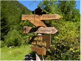 2
2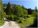 3
3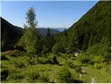 4
4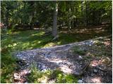 5
5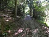 6
6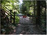 7
7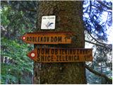 8
8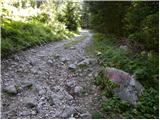 9
9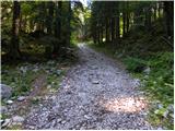 10
10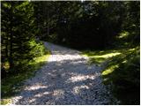 11
11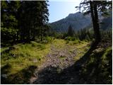 12
12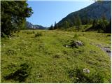 13
13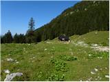 14
14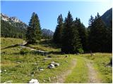 15
15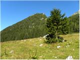 16
16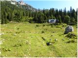 17
17 18
18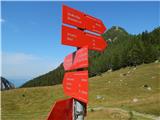 19
19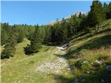 20
20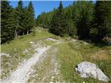 21
21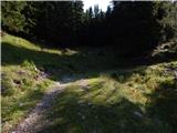 22
22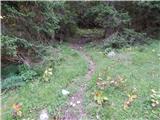 23
23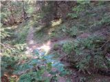 24
24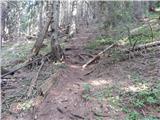 25
25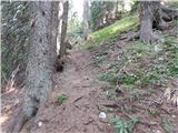 26
26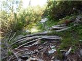 27
27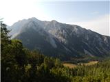 28
28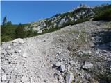 29
29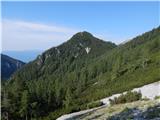 30
30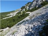 31
31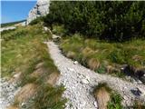 32
32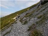 33
33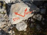 34
34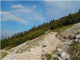 35
35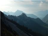 36
36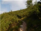 37
37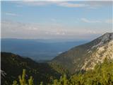 38
38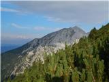 39
39 40
40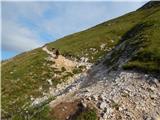 41
41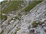 42
42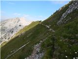 43
43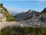 44
44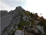 45
45 46
46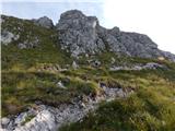 47
47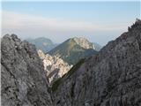 48
48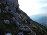 49
49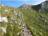 50
50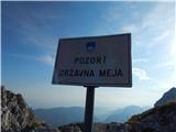 51
51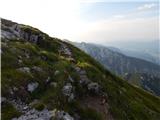 52
52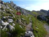 53
53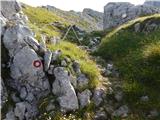 54
54 55
55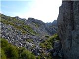 56
56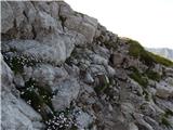 57
57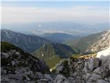 58
58 59
59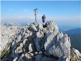 60
60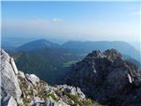 61
61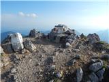 62
62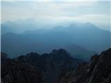 63
63
Discussion about the trail Tinčkova koča - Vertatscha/Vrtača (via Smokuška planina and on the scree)