Tinčkova koča - Žirovniška planina
Starting point: Tinčkova koča (1070 m)
| Lat/Lon: | 46,4228°N 14,1991°E |
| |
Time of walking: 1 h 40 min
Difficulty: easy marked way
Altitude difference: 130 m
Altitude difference po putu: 210 m
Map: Karavanke - osrednji del 1:50.000
Recommended equipment (summer):
Recommended equipment (winter): ice axe, crampons
Views: 6.017
 | 1 person likes this post |
Access to the starting point:
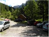
From the Ljubljana - Jesenice motorway, take the Lesce exit and follow the road towards Žirovnica and Jesenice. After a few km of driving, you will come to a crossroads where the road to Žirovnica and Moste turns right (from Jesenice, left). Just a few metres further, at the next crossroads, turn left into Moste (right into Žirovnica). Continue past the memorial to the fallen fighters, where the road starts to climb uphill under the railway line. At the top of the hill, turn right (at the Vila Karin sign) and we continue towards Završniškem jezero and Valvasor's home. The road then bends and leads to a crossroads where the road to Valvasor's home branches off to the left, and we continue straight ahead on the initially still asphalted road. The road soon becomes macadam, and we follow it to a parking area near Tinček's hut. The road is often in a rather bad condition in the upper part.
Path description:
At the beginning of the parking lot, signs point to the left into the forest. After a few metres, we reach a crossroads where an unmarked trail branches off to the right to Hochstuhl (over Zagon). We continue left along the marked trail and continue on a mostly gentle ascent through the forest, crossing quite steep slopes that can be very dangerous to slip on in the snow. Later the path leads to cart track where we continue to the left. After a short descent on cart track, we come again to a crossroads where the markings cart track direct us right into the forest. The slope is no longer so steep and there are some short ascents and descents. The path then turns slightly to the right and crosses forest tracks several times. This path then leads out of the forest where it joins the wide cart track. Signposts direct us to a track along which we soon reach Zabreška mountain pasture.
From mountain pasture, follow cart track, which leads into the forest. After a short descent through the forest, we reach the next one, this time mountain pasture.

Pictures:
 1
1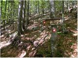 2
2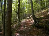 3
3 4
4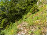 5
5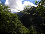 6
6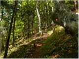 7
7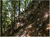 8
8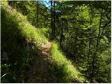 9
9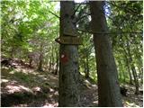 10
10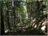 11
11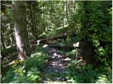 12
12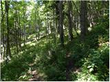 13
13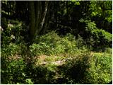 14
14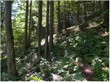 15
15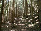 16
16 17
17 18
18 19
19 20
20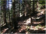 21
21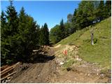 22
22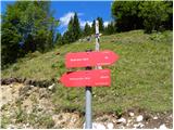 23
23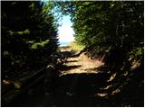 24
24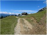 25
25 26
26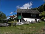 27
27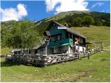 28
28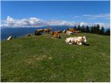 29
29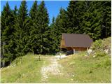 30
30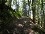 31
31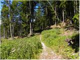 32
32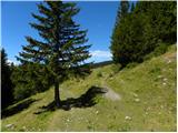 33
33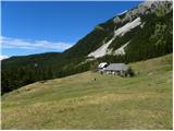 34
34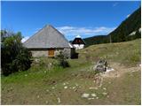 35
35
Discussion about the trail Tinčkova koča - Žirovniška planina