Tirosek (Nova Štifta) - Planina Travnik
Starting point: Tirosek (Nova Štifta) (556 m)
| Lat/Lon: | 46,2702°N 14,7497°E |
| |
Time of walking: 1 h 45 min
Difficulty: easy marked way
Altitude difference: 624 m
Altitude difference po putu: 624 m
Map:
Recommended equipment (summer):
Recommended equipment (winter): ice axe, crampons
Views: 4.718
 | 1 person likes this post |
Access to the starting point:
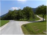
a) First, drive to Kamnik, then continue to the Črnivec Pass and Gornji Grad. When you have almost reached the valley of the river Dreta, take a sharp right in the direction of Šmiklavž, Tirosek and Nova Štifta. Continue through Šmiklavž, and at the first crossroads after the above-mentioned place we turn left onto the road towards Menina mountain pasture 13. 8 km (the sign by the road is currently down and lying in the grass - data August 2011). Park at a suitable place on the road going higher into the forest.
b) From Vransko or from the Savinja Valley, take the road to Gornji Grad and then continue to the Črnivec Pass and Kamnik. Just a few kilometres after Gornji Grad, before the road starts to climb steeply, signs for Šmiklavž, Tirosek and Nova Štifta direct you left onto a slightly narrower local road. Continue through Šmiklavž, and we turn left at the first junction after this point onto the road towards Menina mountain pasture 13. 8 km (the roadside sign is currently down and lying in the grass - data August 2011). Park at a suitable place on the road going higher into the forest.
Path description:
When the road turns into a forest, we soon arrive at a crossroads where the road to the right turns off towards the Gluk farm, and we continue straight ahead and continue to climb moderately through the forest. Just a little higher up, a marked path from Šmiklavž joins us from the left (you can also start in Šmiklavž, but the path from there to the road is more difficult to follow and in several places completely overgrown). We continue along the road for a short distance, and then the signs direct us to the right onto a footpath, which takes us first through the forest, and higher up through a partly "abandoned" orchard to the farm Vrtačnik (you can also follow the road to here).
Here, continue right and immediately after the house, leave the road and continue left through a pasture fence to cart track. Cart track first climbs slightly to the left, then splits into two parts as it turns right. At the crossroads, continue on the left-hand cart track, i. e. continue straight on the less well-trodden and, at a slightly higher altitude, also quite overgrown cart track. Next, cross the aforementioned cart track, and we follow it to the right-hand bend. In the middle of the bend, you will see an arrow on a tree directing you to the mountain path, which then climbs transversely through the dense forest. Higher up, the path bends slightly and crosses a forest road leading to Menino mountain pasture and mountain pasture Travnik. Continue through the forest for a short distance and then cross the road again, the only difference is that now you cross the road that leads only to mountain pasture Travnik. Higher up, we join the road and follow it up to the shepherd's hut at mountain pasture Travnik, enjoying increasingly beautiful views.

Pictures:
 1
1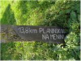 2
2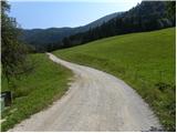 3
3 4
4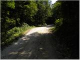 5
5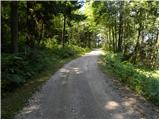 6
6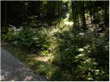 7
7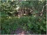 8
8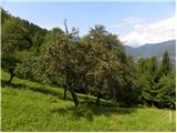 9
9 10
10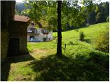 11
11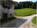 12
12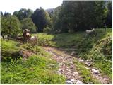 13
13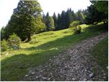 14
14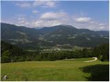 15
15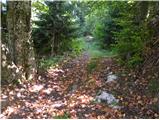 16
16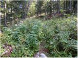 17
17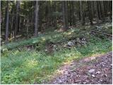 18
18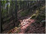 19
19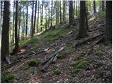 20
20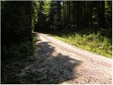 21
21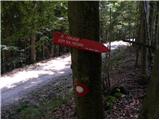 22
22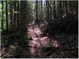 23
23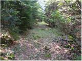 24
24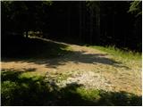 25
25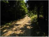 26
26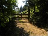 27
27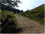 28
28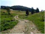 29
29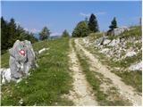 30
30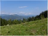 31
31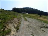 32
32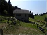 33
33
Discussion about the trail Tirosek (Nova Štifta) - Planina Travnik
|
| Jg19. 09. 2018 |
Pot je zelo zaraščena in je na mestih sploh ni mogoče razlikovati od gozda. Močno odsvetujem. Pot po cesti ni dosti daljša, tako da če ima kdorkoli namen izvesti tale izlet mu zelo toplo priporočam hojo po cesti.
|
|
|