Tivoli - Cankarjev vrh (Rožnik) (by road)
Starting point: Tivoli (300 m)
| Lat/Lon: | 46,0577°N 14,4989°E |
| |
Name of path: by road
Time of walking: 40 min
Difficulty: easy marked way
Altitude difference: 94 m
Altitude difference po putu: 130 m
Map: Ljubljana 1:20.000
Recommended equipment (summer):
Recommended equipment (winter):
Views: 31.436
 | 5 people like this post |
Access to the starting point:
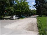
From Celovška cesta in Ljubljana, drive to a large pay parking lot near Tivoli Park.
Path description:
From the parking lot, first walk to Tivoli Castle, and then follow the forest road as it begins to climb. A few metres after the castle, you reach the first crossroads, where you continue along the lower left road, which climbs moderately (the right steep road ends). After a few minutes' walk, the road turns sharp right and then dips slightly. Higher up, the road crosses a trim track and then leads to a crossroads of several roads.
Continue along the leftmost road, which after a short climb starts to descend and quickly leads to the next crossroads at the War Memorial for the Fallen of Slovenia. Here, continue straight ahead (right Šišenski hrib) along the road, which begins to descend. After a short descent, the road starts to climb again and after a few minutes of further walking leads us to the guest house at Rožnik. From the guest house you can walk to the top of Rožnik (Cankarjev vrh) in the middle of which stands the church.
Pictures:
 1
1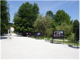 2
2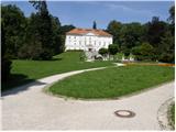 3
3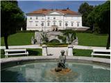 4
4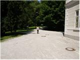 5
5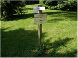 6
6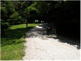 7
7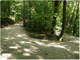 8
8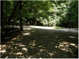 9
9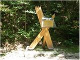 10
10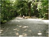 11
11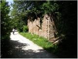 12
12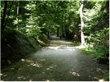 13
13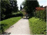 14
14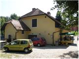 15
15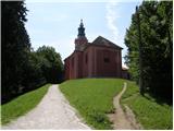 16
16
Discussion about the trail Tivoli - Cankarjev vrh (Rožnik) (by road)
|
| klavdy617. 05. 2009 |
Čudovit nedeljski izlet. Zlahka se lahko izgubiš zaradi številčnih poti.
|
|
|