Tolmin - Kozlov rob (Grajska pot)
Starting point: Tolmin (230 m)
| Lat/Lon: | 46,1902°N 13,7305°E |
| |
Name of path: Grajska pot
Time of walking: 30 min
Difficulty: easy unmarked way
Altitude difference: 196 m
Altitude difference po putu: 196 m
Map: Julijske Alpe - zahodni del 1:50.000
Recommended equipment (summer):
Recommended equipment (winter): ice axe, crampons
Views: 9.829
 | 1 person likes this post |
Access to the starting point:
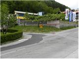
Take the road to Tolmin and turn right at the traffic lights at the top of the hill (left if coming from Kobarid) towards Zatolmin. Continue past the pensioners' home, then just before the end of Tolmin, or more precisely just before Moratto Pnews Center, turn left onto Pod gradom Street. This is the start of our route to the Kozlov Edge. There are no suitable parking places at the starting point.
Path description:
At the beginning of Pod gradom Street, a wide asphalt path branches off to the right and quickly becomes macadam. Just a few metres after the track has been laid, you will reach an information board, where you take a sharp right onto the ascending track. Soon enough, the path leads to a water tower, after which you arrive at an unmarked crossroads.
Continue straight ahead on the path, which climbs moderately through the forest and, higher up, begins to turn increasingly to the left. A little further on, the path climbs steeply for a short distance and then leads out of the forest where it joins the Učni trail. Here, continue slightly to the left and after a few steps of further walking, you will reach the ruins of the former castle at Kozlov edge.
Pictures:
 1
1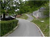 2
2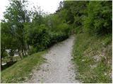 3
3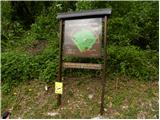 4
4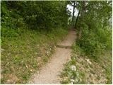 5
5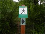 6
6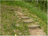 7
7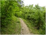 8
8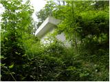 9
9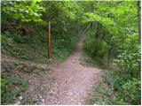 10
10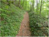 11
11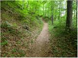 12
12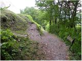 13
13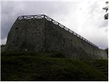 14
14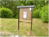 15
15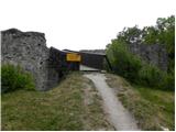 16
16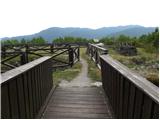 17
17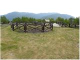 18
18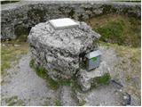 19
19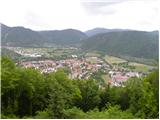 20
20
Discussion about the trail Tolmin - Kozlov rob (Grajska pot)
|
| ločanka4. 04. 2025 06:56:49 |
Od slike 10 naprej pot ni več enaka, kot je prikazana v tem opisu. Je sedaj makadamska in primerna tudi za vožnjo z avtom (ne vsakim seveda). Tudi precej posekanega ob poti. Na vrhu ostankov gradu in tudi ob njem potekajo dela.
Trenutno sigurno bolj primerna in tudi lepa Gozdna pot.
|
|
|