Tolminske Ravne - Tolminski Kuk (via planina Razor)
Starting point: Tolminske Ravne (924 m)
| Lat/Lon: | 46,2294°N 13,7715°E |
| |
Name of path: via planina Razor
Time of walking: 4 h 45 min
Difficulty: difficult marked way
Altitude difference: 1161 m
Altitude difference po putu: 1315 m
Map: TNP 1:50.000
Recommended equipment (summer):
Recommended equipment (winter): ice axe, crampons
Views: 9.810
 | 2 people like this post |
Access to the starting point:
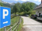
Take the Tolmin, then continue in the direction of Žabč and Zadlaz (the turn-off from the main road is on the left bank of the Tolminka River). When you arrive in Žabče, at a small crossroads, turn slightly right towards Zadlaz. At Zadlaz-Žabče the road descends a little, where it crosses the Zadlaščica River via a bridge, and then starts climbing steeply again on a narrow, but constantly asphalted road. After about 12 km from the main road, you reach a marked parking area in Tolminske Ravne, where you park.
Path description:
From the parking lot, follow the path in the direction of Koča na planini Razor and mountain pasture at Kal. Initially, follow cart track, which continues from the nearby house and leads you across a meadow with a view. On the other side of the meadow, cross a pasture fence and the path leads to a marked crossroads, where you continue along the bottom right-hand cart track (slightly left-hand mountain pasture on Kal).
Continue along cart track, which descends gently to the right, then lays down and continues for a few minutes without any major changes in elevation. After the concrete trough, the path splits again and we take the steep left path (the path that continues straight ahead also leads to the mountain pasture Razor, but the path is longer, but not technically difficult).
The way ahead starts to climb again, and climbs mostly to the right, only making a serpentine here and there. Higher up, we move to steeper slopes, and a little further on to an exposed but, apart from the first few steps, well protected ledge. When the traverse ends, the path returns to the forest, through which it climbs more steeply, and then emerges from the forest and the path is laid. From here it is a few minutes' walk with beautiful views of the mountains rising above the Zadlaščice basin, and the path leads past the cheese cottage to the hut at mountain pasture Razor.
From the hut we continue in the direction of Globoko, Vogel, Vrh nad Škrbino. . . along the path which crosses the lane of a forest and then forks on a gently sloping grassy slope.
This time continue straight on in the direction of Vrch nad Škrbino and Dom na Komni (to the right Vogel, Globoko and Črna prst), along a path which turns slightly to the left and continues climbing up a dwarf pines vegetated slope. After a few minutes, the path is gently laid and then, after a short moderate climb, it leads to the next crossroads, north of the undistinguished Kopecko peak. Continue left in the direction of Stubble Saddle (right Vrh nad Škrbino - southern route). The route soon afterwards emerges from dwarf pines onto interesting slopes, where we will see steep rock slabs on our right, forming an interesting wall for climbers, but not too steep. The route then ascends crosswise over scree to the saddle of Škrbina, which is situated at 1910 m. When we get to Škrbino, a beautiful view of the Bohinj side opens up, and we continue left at the crossroads in the direction of Kuka (right Vrh nad Škrbino, straight down Dom na Komni and the ski slope Vogel). The way forward starts to climb crosswise over steep slabs, and then both the path and the slope are slightly lowered. The path then passes under the shorter face of Kont Peak, and then begins to descend gently over occasional steeper scree. The path continues on the coastal side, crossing Podrta gora and Mali vrh, before returning to the main ridge of the Lower Bohinj Mountains, which it reaches just at the saddle between Mali vrh and Zeleni vrh. From here, continue in the same direction, except that the path moves from the slopes to a ridge that is exposed in places. Follow the marked path, which occasionally climbs quite steeply, then, with increasingly beautiful views, all the way to the grassy Zeleni vrh.
From Zelená vrh, follow the marked path as it descends steeply to the west. The slope we are descending quickly narrows and the path leads us to a narrow and slightly exposed ridge. Here the path is laid, and we quickly reach a saddle from which we begin to climb towards Tolminski Kuk. A short steep climb awaits us above the saddle, and then the path switches to a ridge, along and along which we climb to the highest peak of the Lower Bohinj Mountains.
Tolminske Ravne - mountain pasture Razor 1:15, mountain pasture Razor - Škrbina 2:00, Škrbina - Zeleni vrh 1:05, Zeleni vrh - Tolminski Kuk 25 minutes.

We can extend the trip to the following destinations: Podrta gora
Pictures:
 1
1 2
2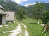 3
3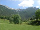 4
4 5
5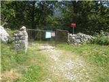 6
6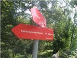 7
7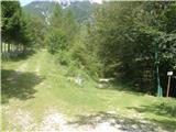 8
8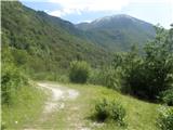 9
9 10
10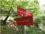 11
11 12
12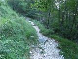 13
13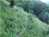 14
14 15
15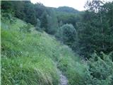 16
16 17
17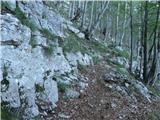 18
18 19
19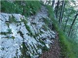 20
20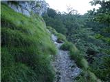 21
21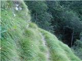 22
22 23
23 24
24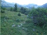 25
25 26
26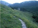 27
27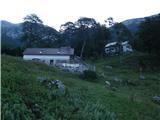 28
28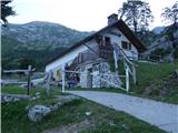 29
29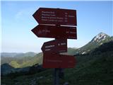 30
30 31
31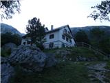 32
32 33
33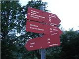 34
34 35
35 36
36 37
37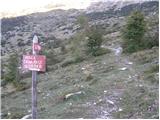 38
38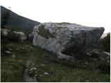 39
39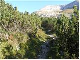 40
40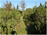 41
41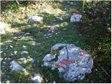 42
42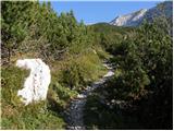 43
43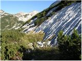 44
44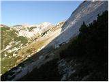 45
45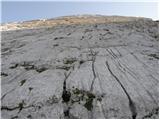 46
46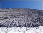 47
47 48
48 49
49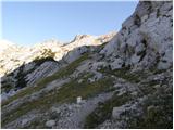 50
50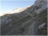 51
51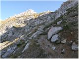 52
52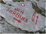 53
53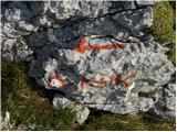 54
54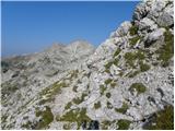 55
55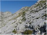 56
56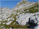 57
57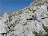 58
58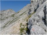 59
59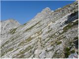 60
60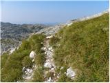 61
61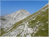 62
62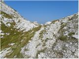 63
63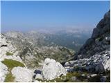 64
64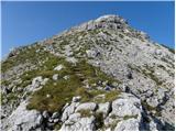 65
65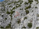 66
66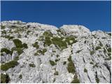 67
67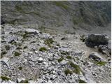 68
68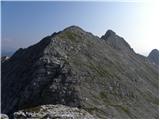 69
69 70
70 71
71 72
72 73
73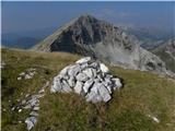 74
74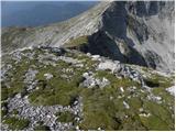 75
75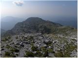 76
76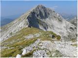 77
77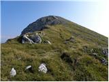 78
78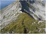 79
79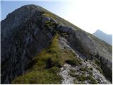 80
80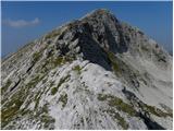 81
81 82
82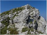 83
83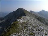 84
84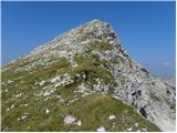 85
85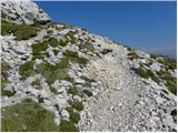 86
86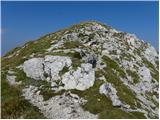 87
87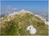 88
88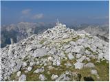 89
89 90
90
Discussion about the trail Tolminske Ravne - Tolminski Kuk (via planina Razor)
|
| darinka421. 05. 2018 |
Nikjer nisem zasledila koliko hoje je od Toolminskih Raven do planine Kal in potem do Tolminskega Migovca.
|
|
|
|
| valerija11221. 05. 2018 |
Do planine Na kalu je 1ura in 30min, od tam do Tolm.Migavca pa še enkrat 1ura in 30min.
Zelo lepa je tudi pot iz Čadrga do planine Na kalu,čas hoje je tudi tu 1ura in 30 min.
Veliko užitkov želim.
|
|
|
|
| darinka422. 05. 2018 |
Se pravi, da je nekoliko krajša , kot če greš mimo planine Razor.Saj enkrat sem bila po tej poti in smo potem sestopili v Čadrg, ampak veliko let nazaj. Hvala za info.
|
|
|
|
| mirank23. 05. 2018 |
Na Kuk se da z Raven priti po dveh poteh in nobena ni daljša od 3h hoda, če le dobro stopiš. Začetek je pri obeh enak; takoj za leso na koncu travnikov na Ravnah se usmeriš po mulatieri v smeri Kala. Kakih 5min hoda više malce naprej od Vodohrana je na ovinku prvi neoznačen odcep široke poti v desno (leva markirana vodi na Kal), ki prvih 50m ni nič označen, markacije začnejo za prvim ovinkom na tej poti. Ta te pripelje na tisto razpotje pod Škrbinsko ploščo....
Tista prek R planine je daljša od obeh za cca 1h. Pozor; ta ki sem jo opisal je težje sledljiva za dol, če greš po njej prvič, predvsem je smotano (prvi narobe, drugi pa komaj vidno) označen odcep na prečenju tranzverzalne steze v gozdu nekje v sredini!
|
|
|
|
| darinka423. 05. 2018 |
Potem bo treba iti s kom, da se ne izgubim. 
|
|
|
|
| akvarij1. 07. 2018 |
Včeraj smo šli iz Tolminskih Raven mimo planine Kal najprej na Tominski Kuk in nato še na Tolminski Migovec; ne preveč naporna pot, zadovoljivo označena, čeprav jo na "planjavah" med Migovcem in Kukom zlahka izgubiš.. a če je vreme jasno, to ni problem, saj je Tominski Kuk nenehno pred nosom in tudi možiclji so dovolj visoki, da jih vidiš od daleč. Za celotno turo smo rabili 7 ur, z doooolgim postankom na T. Kuku in malo krajšim na Migovcu. Po poti ogromno cvetja vseh barv in oblik, pa tudi modrasi  Z vrhov pa prekrasni razgledi na vse strani! Če kdo rabi gpx sled, jo lahko pošljem (vključuje tudi en ovinek, kjer smo nehote zavili s poti  Pot na Open Street Map Pot na Open Street Map
|
|
|
|
| miranm30. 05. 2019 |
Pozdravljeni,
Zanima me, če je pot na Tolminski Kuk kopna.
Hvala in varen korak.
|
|
|
|
| funnyboy30. 05. 2019 |
Ni kopna. Nekaj dni nazaj je bilo še kar nekaj snega, nekaj pa ga je zapadlo včeraj.
|
|
|