Travna Gora - Koča na Kamnem griču
Starting point: Travna Gora (950 m)
| Lat/Lon: | 45,7361°N 14,6442°E |
| |
Time of walking: 45 min
Difficulty: easy marked way
Altitude difference: 66 m
Altitude difference po putu: 140 m
Map:
Recommended equipment (summer):
Recommended equipment (winter):
Views: 21.398
 | 1 person likes this post |
Access to the starting point:
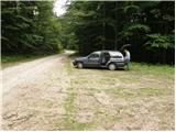
Take the regional road from Ljubljana to Kočevje or vice versa. At the village Žlebič you will see signs for Nova Štifta and Sodražica, which will direct you to the right (from Kočevje and Ribnica to the left). Continue to the village of Lipovščica, where the sign for Nova Štifta will direct you left up the ascending road. The road then quickly leads to Nova Štifta, where you will see signs for Travna Gora. Continue up the dirt road, which leads us higher into the village. Continue driving in the direction of the house at Travna Gora, from where we continue along the right road, which soon leads us to a parking area near the mountain signs (second footpath, the first one has only markings and an inscription on a tree, while the second footpath also has mountain signs. The two starting points are about 500m apart).
The starting point can also be reached from the direction of the road Hrib-Loški Potok - Sodražica. From the road, where there is a marked turnoff, it is about 5 km on macadam to Doma na Travna Gora.
Path description:
From the parking lot, follow the path towards the hut on Kamný hřich. The path initially ascends the gently sloping and usually quite muddy cart track, which steepens after a few minutes. When the steepness subsides, you reach a poorly marked crossroads, where you continue to the right. Continue walking along the wider but poorly marked cart track, which after a short descent turns into a dirt road, which quickly leads to the next crossroads. Continue left along the worse macadam road towards Kamný hill. At a small turning point the road changes to cart track, and here we continue straight on (porly marked) along the pleasant cart track, which leads us out of the wods and onto beautiful grassy slopes. On the other side of the meadow you come to a marked crossroads where you continue to the right in the direction of the hut, to which you have a 5-minute climb up the moderately steep cart track, which climbs over the aforementioned meadow.
Pictures:
 1
1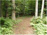 2
2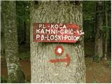 3
3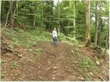 4
4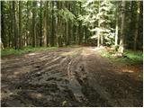 5
5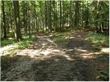 6
6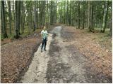 7
7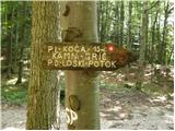 8
8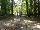 9
9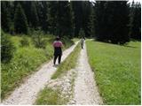 10
10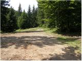 11
11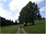 12
12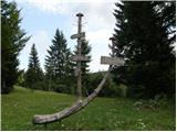 13
13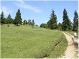 14
14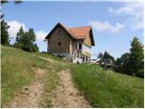 15
15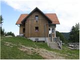 16
16
Discussion about the trail Travna Gora - Koča na Kamnem griču
|
| brezjan25. 04. 2011 |
Na Travni gori in Kamnem griču sem bil 23.04.11. Opis poti mi je zelo pomagal , da sem našel pravo pot do koče na Kamnem griču. Ko pridemo iz kolovoza na makedamsko pot se markacije nekoliko izgubijo oziroma so razpršene na več strani. Pot je treba nadaljevati po makedamski pot do križišča, kjer je tudi tabla, katera nas usmeri proti koči. Koča na kamnem griču je zaprta.
Vstavil sem se tudi pri Domu na Travni gori, kateri naj bi - glede na obvestilu na vratih - od 9 ure dalje. Pri domu sem bil ob 11.40 tam pa vse zaklenjeno in nikjer žive duše.
Pot lepa predvsem v spomladanskem času ko vse zeleni, glede Doma na Travni gori pa z moje strani kritika - neresnost oskrbnikov.
|
|
|
|
| brezjan25. 04. 2011 |
Tiskarski škrat; Dom naj bi bil odprt od 9.00 ure dalje.
|
|
|
|
| navrhu1. 11. 2014 |
Ali ni nobene druge poti na Kamni grič, kot iz Travne gore? Mogoče iz Malega loga?
|
|
|
|
| simon791. 11. 2014 |
Seveda so druge poti. Tako iz Malega Loga kot z Gore (Kržeti). Čas je pri obeh podoben, dobre pol ure...
|
|
|
|
| lumi8. 04. 2015 |
kako je odprta koča na Travni gori ?
|
|
|
|
| lumi8. 04. 2015 |
rabim žig za pot kurirjev in vezistov-je samo v koči ali tudi zunaj!
|
|
|
|
| JusAvgustin8. 04. 2015 |
Odvisno. Si partizan ali švab?  Nemci so bili v hišah, partizani pa so se skrivali zunaj-v gozdu... 
|
|
|
|
| hribovc714. 02. 2017 |
A je kaj snega trenutno gor?
|
|
|