Travnarjev gozd (Hotenjsko podolje) - Šenčurjev vrh
Starting point: Travnarjev gozd (Hotenjsko podolje) (503 m)
| Lat/Lon: | 45,9085°N 14,1626°E |
| |
Time of walking: 1 h 50 min
Difficulty: easy marked way
Altitude difference: 222 m
Altitude difference po putu: 310 m
Map:
Recommended equipment (summer):
Recommended equipment (winter):
Views: 1.934
 | 1 person likes this post |
Access to the starting point:
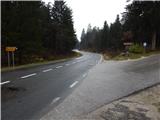
a) First, drive to Logatec (reachable from the motorway Ljubljana - Koper, exit Logatec, Vrhnika or Žirov), then continue to Postojna, Idrija and Tolmin. At Kalce, at both junctions, continue straight on (at the first junction, left Postojna and Mountain pasture, and at the second junction, left Col) and then follow the main road towards Idrija. Before you reach Hotedršica, you will see the signs for Ravnik pri Hotedršici, which direct you to the right onto a narrow local road, where after a few metres you can park in a suitable place on the side of the road. From the crossroads at Kalce to the road turnoff to Ravnik is a little less than 3 km.
b) First drive to Godovič (to get here from Črnji Vrho or Idrija) and from there continue to Logatec. A few kilometres after Hotedršica, you will reach a place where the road to Ravnik pri Hotedršici turns off to the left (the road branch is located a few 10 metres further on from the bus station). Take the road mentioned above and park at a suitable place along the road.
Path description:
From the starting point, continue along the road along which you parked, first climbing through the forest, and after a left turn you will arrive on a grassy hillside with a view. After about 15 minutes, you reach the first houses in the village Ravnik pri Hotedršici, where the path leads you past the open-door farm Pr Urbanovc. The path continues between fields, meadows and pastures until the next part of the village, where there is a timber-cutting enterprise. Behind the sawmill, on the left, we can already see the hill on which the Church of St Barbara stands, and we continue along the asphalt road to another hamlet, where, in front of the first house, we continue on the path, the beginning of which we can see at the fence of the el. shepherd. We continue along the fence for a while, then the path turns right and leads us through a strip of woods to St Barbara's Church within a minute's walk.
From the church, we return to the tarmac road and continue along it past the cross, after which we reach a triangular crossroads, where signs point us to the right. At the crossroads, you will see a listed older house on the right, and the dirt road leads you past a few more houses. The village soon ends and we continue along the forest road, which continues with a few short ups and downs. When we leave the forest higher up, through which we walk for a while, we arrive at the next crossroads, where we continue to the left, along the road which leads us further along the grassy hayfields of Kozje Peak (665 m).
The dirt road descends gently for a short time, then climbs moderately to the next slightly larger crossroads, where we continue to the left (to the right Žibrše). The path continues to cross the slopes to the left, and then takes us between pastures to a crossroads where we leave the markings. In front of a nearby house, continue on the road to the right, which climbs gently up an increasingly scenic slope. When the road is completely flat, you will see a bench on the left and a viewing platform next to it, which is only a short 10-step easy walk away. Description and figures refer to the situation in 2014 (December).

Pictures:
 1
1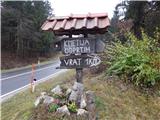 2
2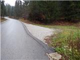 3
3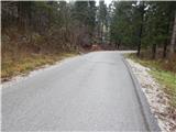 4
4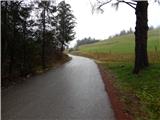 5
5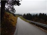 6
6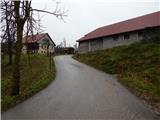 7
7 8
8 9
9 10
10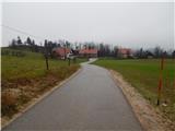 11
11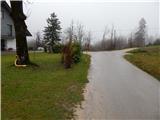 12
12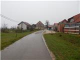 13
13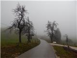 14
14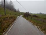 15
15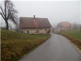 16
16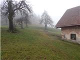 17
17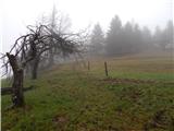 18
18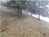 19
19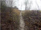 20
20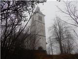 21
21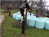 22
22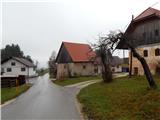 23
23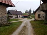 24
24 25
25 26
26 27
27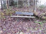 28
28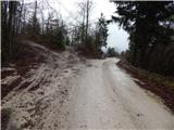 29
29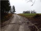 30
30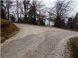 31
31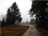 32
32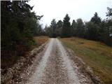 33
33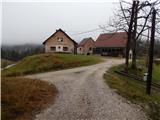 34
34 35
35 36
36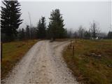 37
37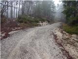 38
38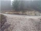 39
39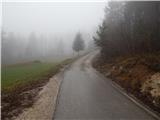 40
40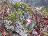 41
41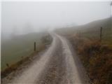 42
42 43
43 44
44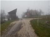 45
45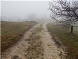 46
46 47
47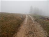 48
48 49
49 50
50 51
51 52
52
Discussion about the trail Travnarjev gozd (Hotenjsko podolje) - Šenčurjev vrh