Starting point: Trbovlje (299 m)
| Lat/Lon: | 46,1638°N 15,0518°E |
| |
Time of walking: 2 h 30 min
Difficulty: easy marked way
Altitude difference: 823 m
Altitude difference po putu: 823 m
Map:
Recommended equipment (summer):
Recommended equipment (winter):
Views: 38.351
 | 3 people like this post |
Access to the starting point:
From the regional road Hrastnik - Litija, turn right at the traffic lights on the outskirts of Trbovlje, or left if you are coming from the route of Ljubljana, and drive into the centre of Trbovlje. Continue in the route Prebold, but follow the road only as far as Gornji Trbovlje, where you take a sharp right at the traffic lights. Just after the crossroads, you will come to a marked parking lot, where you park.
Path description:
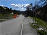
At the end of the parking lot, the signs for Mrzlica direct us left onto a slightly narrower and ascending road, and we climb up it just a few steps, then on the left we see a mountain path that goes around a few houses. The path returns to the asphalt road at a higher level, which, after a while, leads us to a small crossroads, where we continue to the right on a macadam road, loking at Kum and Trbovlje. Follow the road for a few steps and then the signs direct you left onto a footpath which climbs up by a residential house. After a few minutes of further walking, you will reach the next crossroads.
Continue slightly right along the ascending road, which quickly leads to a larger crossroads where you continue left to the chapel. At the chapel, turn right in the route Mrzlica and after a few steps further walk into the village of Čeče. The scenic road soon splits into two parts; the right one leads to the centre of the village, and we continue along the left ascending road, which soon leads to the "last" house in the village, where the asphalt ends. We continue on the wide cart track, which first climbs steeply through the forest, then lays down and crosses a forest road. The path joins the above-mentioned macadam road higher up, which leads past the memorial and leads us higher up to the sign, where we leave it. The ascent continues along a pleasant and scenic path which climbs moderately along the edge of the forest. Higher up, rejoin the macadam road, follow it up past the NOB monument, and then leave it again. Continue your ascent along the wide path, which first leads you across the viewing slopes, then into the forest, where after a few minutes of further walking you join the Podmeja - Mrzlica road.
Continue to the right and follow the steep road towards Mrzlica. Higher up, the road is laid and leads us out of the forest onto the grassy slopes, from which we have a beautiful view of the peaks surrounding the Savinjska valley. Here, the path from the valley (Marija Reka) almost imperceptibly joins us from the left, and we continue along the road until we reach a marked crossroads where we have two options for continuing: If we want to first to the top of Mrzlica and only then to the mountain home, continue slightly to the right (otherwise continue straight on the moderately steep macadam road) along a fairly steep path, which after a good 10 minutes is laid and leads us out of the forest to a larger grassy clearing, where the path to the right branches off, leading to the nearby lookout point "K Skalci". Here, continue left (the turn-off for the summit is not marked) and within a few minutes of further walking, you will reach the top of Mrzlica.
From the top, it takes less than 5 minutes to descend to the mountain lodge on Mrzlica.

Pictures:
 1
1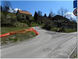 2
2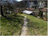 3
3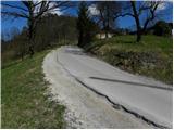 4
4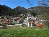 5
5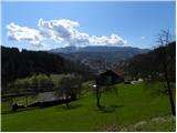 6
6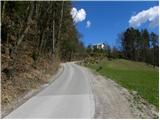 7
7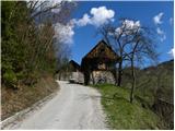 8
8 9
9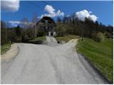 10
10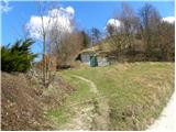 11
11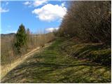 12
12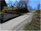 13
13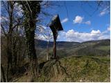 14
14 15
15 16
16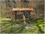 17
17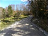 18
18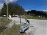 19
19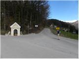 20
20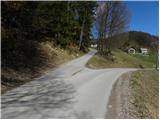 21
21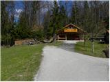 22
22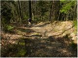 23
23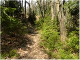 24
24 25
25 26
26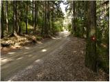 27
27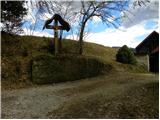 28
28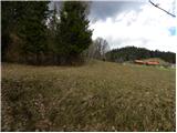 29
29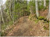 30
30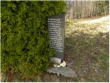 31
31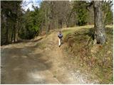 32
32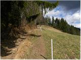 33
33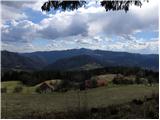 34
34 35
35 36
36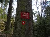 37
37 38
38 39
39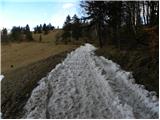 40
40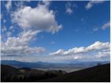 41
41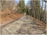 42
42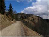 43
43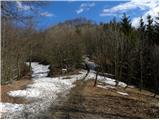 44
44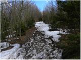 45
45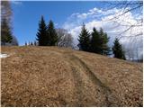 46
46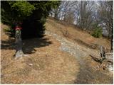 47
47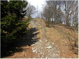 48
48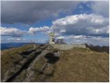 49
49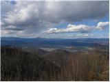 50
50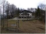 51
51
Discussion about the trail Trbovlje - Mrzlica
|
| bruny31. 10. 2013 |
Danes zjutraj uporabila to pot s kolegom za vzpon na Mrzlico. Bližje sva bila vrhu več je bilo obiskovalcev in tudi (pločevine) na višjih izhodiščih. Predizhodišče je bila železniška postaja Trbovlje in sprehod skozi prebujajoče mesto je bil lep uvod in ogrevanje v prijetno nadaljevanje, ki se ni končalo na Mrzlici. Opis poti je korekten. Tablica na fotki 37 je žal zlomljena. S kolegom sva v zaključnem delu opravila vzpon po cesti in tudi večina takrat aktivnih tudi...in od planinskega doma stopila na vrh Mrzlice.
|
|
|
|
| Becar2. 03. 2014 |
Pri splošnem opisu za Mrzlico piše, da je drugi najvišji vrh v zasavskem hribovju, kar ne drži. Mrzlica je ČETRTI najvišji vrh. Po vrsti si sledijo: Kum, Čemšeniška planina (Črni vrh), Javor, Mrzlica.
|
|
|
|
| Tadej2. 03. 2014 |
Hvala za opozorilo. Sem popravil. Lp, Tadej
|
|
|
|
| Becar2. 03. 2014 |
Sem na hitro zdajle skočil pogledat, če je še vse tako kot je bilo  . Proti vrhu presenetljivo veliko zbitega snega, medtem ko ga sosednja Sv. Planina in Javor nimata več kljub zelo podobni višini. Verjetno bo držalo, da ima Mrzlica pomenljivo ime.  Postrežba in urejenost koče pa super. Malo je tako urejenih planinskih koč.
|
|
|
|
| baxon25. 11. 2014 |
Ali lahko nekdo pove koliko cca je od Kala do Mrzlice?
Hvala
|
|
|
|
| otiv25. 11. 2014 |
Mislim, da je kake 3/4 ure.
|
|
|
|
| bruny27. 11. 2014 |
Tukaj pravijo tako... VIR:.Lp
|
|
|