Trdkova - Tromejnik / Dreiländerecke / Harmashatar (Ježkova pot - by road)
Starting point: Trdkova (288 m)
| Lat/Lon: | 46,8621°N 16,1116°E |
| |
Name of path: Ježkova pot - by road
Time of walking: 20 min
Difficulty: easy marked way
Altitude difference: 102 m
Altitude difference po putu: 102 m
Map:
Recommended equipment (summer):
Recommended equipment (winter):
Views: 10.699
 | 1 person likes this post |
Access to the starting point:
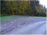
From the Pomurje motorway, take the exit Murska Sobota and then continue towards the Hodoš border crossing. At Gornji Petrovci, turn left towards Kuzma. Continue through the villages Šulinci, Ženavlje and a few other villages, and follow the road to the beginning of the village Martinje (Martinje Trdkova on the signs). Here, just 10 m before the beginning of the village, you will see the signs for Tromejnik, which will direct you to the right, to the road which will quickly take you to the village of Trdkova. The road then climbs moderately and leads us to a crossroads at which we see signs for Tromejnik to the left and right. We decide to take the left road, which starts to descend steeply. The road then lays down and after a few 100 m of further driving leads us to the next crossroads where we continue to the right (direction Tromejnik). We continue along a gently sloping dirt road which we follow to a marked parking area next to the information signs for Tromejnik.
Path description:
From the parking lot at the tourist log cabin, continue along the macadam road, which climbs gently for a short time, then leads to another larger parking lot, after which the road begins to climb steeply. Continue in the route Tromejnik and ascend along a less good road which climbs steeply through the forest. The path, along which you can see a number of educational boards, then climbs higher and turns slightly to the right, where you quickly reach a small crossroads.
Continue sharp left and follow the gradually steeper road, or cart track, to the top of Tromejnik, which is reached after a few minutes of further walking through the forest.
Pictures:
 1
1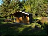 2
2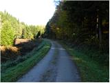 3
3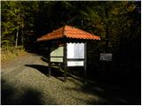 4
4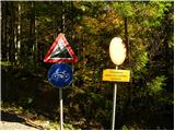 5
5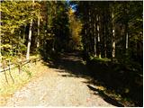 6
6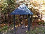 7
7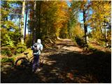 8
8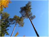 9
9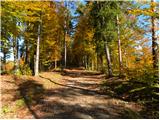 10
10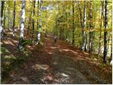 11
11 12
12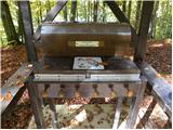 13
13 14
14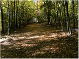 15
15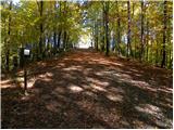 16
16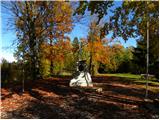 17
17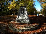 18
18
Discussion about the trail Trdkova - Tromejnik / Dreiländerecke / Harmashatar (Ježkova pot - by road)
|
| grega_p1. 11. 2010 |
S parkirišča pri turistični brunarici se lahko odpravimo tudi po poti skozi gozd - začetek je 50 m nižje od parkirišča (velika markacija). Pri tej varianti bomo opazili tudi zanimivosti ob Ježkovi poti.
|
|
|
|
| Robie28. 12. 2014 |
Zanimiva učna pot a v KATASTROFALNEM stanju, bilo vloženo veliko truda a vse že več let propada - škoda.
|
|
|
|
| AndrejRibic25. 02. 2015 |
14.2.2015 Mejni prehod Matjaševci- kolesarska pot (3,5km) - Tromejnik in nazaj. Pot je v odličnem stanju, bilo je malo snega v senčnih legah. Po nas pelje vseskozi po meji med Avstrijo in Slovenijo. Priporočam.
|
|
|