Trebnje Castle - Trebni vrh (steep path)
Starting point: Trebnje Castle (278 m)
| Lat/Lon: | 45,9037°N 15,0058°E |
| |
Name of path: steep path
Time of walking: 45 min
Difficulty: easy marked way
Altitude difference: 303 m
Altitude difference po putu: 303 m
Map:
Recommended equipment (summer):
Recommended equipment (winter): crampons
Views: 4.434
 | 1 person likes this post |
Access to the starting point:
a) Leave the Ljubljana - Novo mesto motorway at exit Trebnje - west, then continue along the old road towards Trebnjem. Soon we will reach a petrol station, and just 10 metres after it we turn right towards the nearby Trebanj castle, where we can already see the first mountain direction signs. The marked parking lot is located slightly above the castle, and we get there by turning right at the crossroads by the castle, and then immediately left. A short drive alongside the castle follows, and then you reach the next mountain markers, where the signs for the parking lot direct you to the left.
b) From the Novo mesto - Ljubljana motorway, take the exit Trebnje - East, then continue along the old road towards Trebnje. Continue south from Trebnje, then turn right towards Trebnje when you are on the west side of the town. A few 10 metres further on, turn left at the crossroads and drive over the overpass to Trebanj Castle, where you can already see the first mountain direction signs. The marked parking lot is located slightly above the castle, and you can get there by turning right at the crossroads by the castle, and then immediately turn left twice. A short drive alongside the castle follows, and then you reach the next mountain markers, where the signs for the parking lot direct you to the left.
Path description:
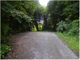
From the parking lot, descend a few metres to the starting point of the mountain markers mentioned in the description, from where you continue in the route Vrhtrebnje. The trail first passes a dwelling house on the left and then enters a forest, through which it first follows cart track. The marked path cart track quickly leaves and turns slightly more to the left, where it climbs to an overpass over the motorway. On the other side of the motorway, climb steep steps (from here you get a nice view of Trebnje and the surrounding area), and cross a poor dirt road above. Above the road, the path returns to the forest and leads to a marked crossroads.
From the crossroads, continue slightly right towards the steep path (slightly left past Mala and Velika jama), which then climbs moderately to steeply. Higher up, the well-trodden path is laid and leads us out of the woods to the edge of the village Vrhtrebnje, where the previously mentioned path past the caves joins us from the left.
As soon as you reach the tarmac road, continue left into the forest (straight ahead on the Vrhtrebnje road) and cross another tarmac road a few 10 metres higher. From the crossing of this road, there is only a short ascent and the path leads to Trebni vrh.

Pictures:
 1
1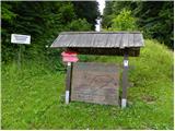 2
2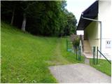 3
3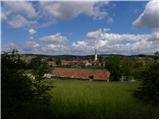 4
4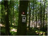 5
5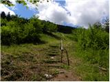 6
6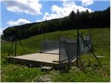 7
7 8
8 9
9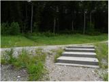 10
10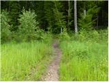 11
11 12
12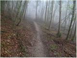 13
13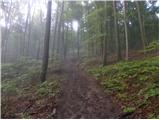 14
14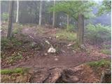 15
15 16
16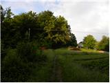 17
17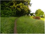 18
18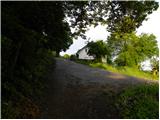 19
19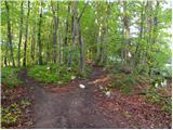 20
20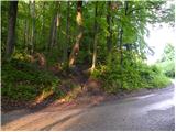 21
21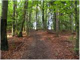 22
22 23
23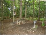 24
24
Discussion about the trail Trebnje Castle - Trebni vrh (steep path)