Trenta - Zadnjiški Ozebnik
Starting point: Trenta (620 m)
| Lat/Lon: | 46,3772°N 13,7495°E |
| |
Time of walking: 4 h 15 min
Difficulty: easy unmarked way
Altitude difference: 1464 m
Altitude difference po putu: 1464 m
Map: Trenta 1:25.000
Recommended equipment (summer):
Recommended equipment (winter): ice axe, crampons
Views: 17.619
 | 2 people like this post |
Access to the starting point:
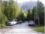
a) First drive to Kranjska Gora, then continue over the Vršič pass towards Bovec. Shortly after the 50th serpentine, the road crosses the Krajcarica River, from where you drive for about 1 km to where a ramp-enclosed forest road branches off to the left. Park a few metres before the ramp in a suitable place along the road.
b) Take the road to Bovec and then continue driving towards Trenta. When you arrive in Trenta, you will see a forest road before the centre of the town, which turns sharp right from the main road. At this junction, which is located a few 100 metres before the centre of Trenta, turn sharp right and park in a suitable place on the side of the road.
Path description:
From the ramp, continue along the forest road, which climbs gently and leads to a crossroads with a small "parking area". From the crossroads, continue along the lower right-hand road, following the Prehodavci markings, but we only walk along it for a short distance, as the markings then lead us left into the woods. The path ahead takes you past a house and starts to climb again behind it. We continue to climb along the Beladovec stream, where we can see some beautiful small waterfalls. As you climb along the stream, the path gradually becomes less steep and then turns slightly to the left, where it becomes even steeper. A few minutes of easy walking follow, and then the path, which follows the old mulatier, begins to climb moderately in the keys. For a while we continue to climb through the forest, and then, when we are already high above the stream, the forest also gradually begins to thin out. A few more minutes of walking follows and the path leads us to the hunting lodge in Trebiško dol.
The way forward is still along the mule track, which leads us under the ridge of Špičja on the right and Veliko glavo and Velikim Konjem on the left. The moderately steep path, which continues through the valley, splits into two parts a little higher up.
Continue along the lower left path (Prehodavci on the right), which quickly leads to the Čez dol saddle.
At the grassy saddle, more precisely at the man, leave the marked path and take the initially barely visible path that crosses the overgrown grassy saddle Čez Dol. On the north side of the Čez Dol saddle, we arrive on the southern slopes of the Last Frostbite or, initially, the slopes of the Great Horse. At first, the barely visible path continues to lead us across grassy slopes covered with dwarf pines bands. Higher up, the path leads us into a short, undistinguished valley from which, with the help of a few cairns, we arrive on the ridge of the Last Frostbite. Here we continue to the right and follow the path along a very scenic ridge. The summit, which you can already see in front of you, is reached after about 5 minutes of further walking.

Pictures:
 1
1 2
2 3
3 4
4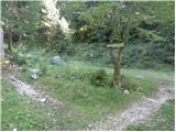 5
5 6
6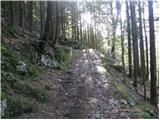 7
7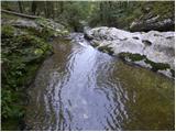 8
8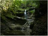 9
9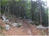 10
10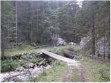 11
11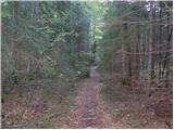 12
12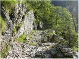 13
13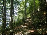 14
14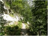 15
15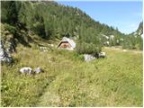 16
16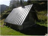 17
17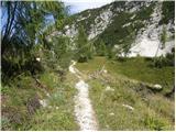 18
18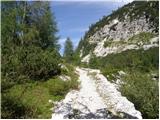 19
19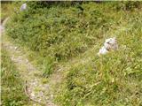 20
20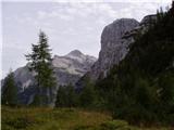 21
21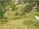 22
22 23
23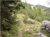 24
24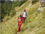 25
25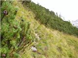 26
26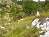 27
27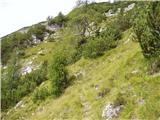 28
28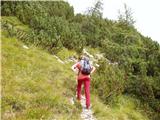 29
29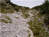 30
30 31
31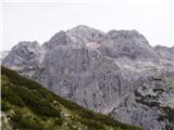 32
32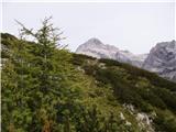 33
33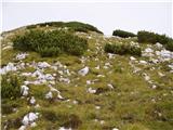 34
34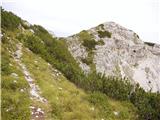 35
35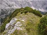 36
36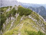 37
37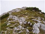 38
38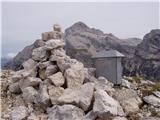 39
39
Discussion about the trail Trenta - Zadnjiški Ozebnik
|
| darinka422. 09. 2020 |
Včeraj iz vasi Trenta. Po potki, kjer obideš vikende. Mimo zanimivih slapov. Pri odcepu se odločiva da raziščeva pot naprej od planine Trebišina ki je opuščena.A tudi pot ki je vrisana v starih zemljevidih je ni več. Gre pa še ena šrecej okoli hriba. Nekaj časa greva po njej a se vrneva zopet na pot in nadaljujeva do pastirske staje na Trebiškem dolu. Začelo se je oblačiti. Vseeno se odločiva da poiščeva stezo , ki pelje do ostankov kavern oziroma kar je ostalo pod vrhom Zadnjiškega Ozebnika. Še kakšnih 200m sva imela do tam , ko je pričelo rositi in se odločiva za sestop čez Trebišino v Trento.
|
|
|
|
| darinka49. 10. 2020 |
8. 10 2020 Se odločiva da ponoviva turo . Tokrat v krasnem sončnem vremenu. Planino Trebiščina sva tokrat izpustila. Od pastirske koče na Trebiškem dolu sva šla kot zadnjič v strmino. Po brezpotju. Prišla do zgradb, oziroma kar je od njih ostalo iz časov Alpskega zidu. Si jih ogledala , poslikala in nadaljevala na ovinku desno, sicer je pot še vidna , ki pelje verjetno na planino Trebišina. Kar dolgo pot sva imela do vrha Zadnjiškega Ozebnika. Kdor bo tam hodil naj si pot vnese v telefon, ker je ponekod zelo slabo sledljiva. Ampak zanimiva . Trop gamsev sva videla . Belka je poletela z ruševja. Na vrhu sva bila edina. Sestopila sva v Zadnjiški Dol. Srečanje takoj ob sestopu z odraslo kačo- gadom. In s sela po isti poti v dolino. Kar 16, 5 višincev je naneslo in 18 km. Ker sva šla iz vasi Trenta in obšla makadamsko cesto in vikende je treba prečit vodo. Včeraj je bila kar narasla.
|
|
|
|
| darinka410. 08. 2021 22:37:20 |
S parkirišča v Trenti se zjutraj odpravimo čez Trebiški Dol. Nato po brezpotju do ostankov kasarn iz časa rapalske meje. Potem po zanimivi slabše vidni potki ki je speljana pod vrhom Konja . Vsaj tako mu pravijo. In zadnji del poti po običajni poti. Na vrhu srečamo domačina Lojza, ki nam odsvetuje sestop do planine Trebišina , ker je precej zaraščeno in bi težko prišli do tja. Lani sva z Marijanom obrnila ker nisva našla poti naprej s te planine. Zato se vsi trije odpravimo po običajni poti . V Trento . In se mu zahvalimo za informacije in povabilo na Trentarski Pelc. On dobro pozna vse te poti. In še zadnji del ko sva Renato in jaz zaplavala v mrzli Soči. Ne vem če je imela 10 stopinj .
|
|
|
|
| darinka418. 05. 2023 23:39:39 |
Od rampe sva šla do sedla Dol. Tam je sneg. Potem po sledljivi potki skoz ruševje . In po snežiščih , ki otežujejo prehode. Sneg se topi. Pod vrhom pa je zimska idila. Kar nekaj ga je nasulo prejšnje dni. Sva se na višini 2057 m odločila da ne greva po ozkem delu , predvsem zaradi opasti, ki verjetno čakajo na zdrs , do vrha. Slišalo se je bobnenje plazov tam okrog Kanjavca. Tudi pot, ki pelje na Prehodavce je zasnežena .
|
|
|
|
| saram26. 08. 2025 20:51:04 |
Včeraj od rampe do sedla Dol. Steza brez posebnosti. Razgledi odlični. Na poti in vrhu sva bila sama. Moram pa pohvaliti tistega, ki je stezo lepo očistil. Nekaj sva jo tudi midva. Vse pohvale tistim, ki jim je mar, da je korak varen.
|
|
|
|
| Darxta8. 09. 2025 14:44:49 |
Predvčerajšnjim z vrha po tej poti nazaj v dolino. Ta pot je bolj položna kot tista iz Zadnjice, a zato skoraj za polovico daljša! Ob poti je voda le v spodnji tretjini, višje jo slišiš, a gledaš le od daleč 
|
|
|