Starting point: Treskavac (319 m)
| Lat/Lon: | 45,02988°N 14,6713°E |
| |
Time of walking: 1 h 30 min
Difficulty: easy marked way
Altitude difference: 249 m
Altitude difference po putu: 249 m
Map:
Recommended equipment (summer):
Recommended equipment (winter):
Views: 12.816
 | 4 people like this post |
Access to the starting point:
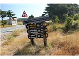
We arrive on the island of Krk and continue along the road towards Baška. Somewhere in the middle of the Krk-Baska road, you will come to the Treskavac pass, where you will see a number of hiking trail signs. Park at a suitable place next to the signs.
Path description:
From the signposts, continue along the initially macadam road, which is also asphalted from time to time. The asphalted path leads initially between low pine trees. After 15 minutes, you reach a fence, where you follow the signs and continue along the road, which is still asphalt and occasionally gravel. After about half an hour of walking, you will see another fence on the road, where you leave the road and continue right on a poorly visible path along the fence (photo 11). Soon you will reach the signposts and a small house, where you can follow the markings. Continue along the path, which is in places poorly visible. A moderate ascent follows, which leads us in a few minutes to Velega Vrho.
Continue along the poorly visible path, where we are helped by markings on the stones. After a few minutes of gentle downhill, we arrive at an abandoned pasture enclosed by a stone fence. The crossing is well marked. The path then climbs gently and we can see a peak with a stone marker in front. After a few minutes we are on top of it, the top of the island of Krka-Obzove.

Pictures:
 1
1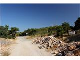 2
2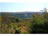 3
3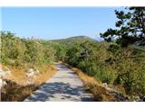 4
4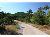 5
5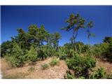 6
6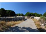 7
7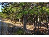 8
8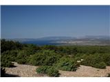 9
9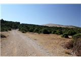 10
10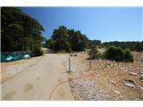 11
11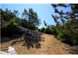 12
12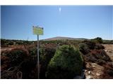 13
13 14
14 15
15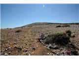 16
16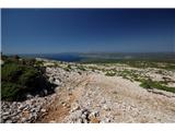 17
17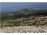 18
18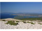 19
19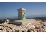 20
20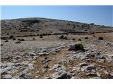 21
21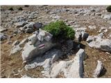 22
22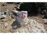 23
23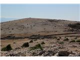 24
24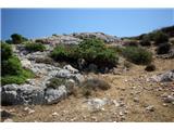 25
25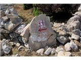 26
26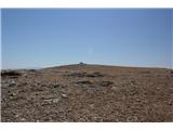 27
27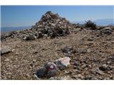 28
28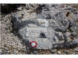 29
29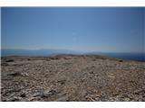 30
30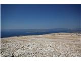 31
31
Discussion about the trail Treskavac - Obzova
|
| Tiranozaver14. 08. 2016 |
Krasen pohod in razgledi. Čestitke društvu, ki je dodatno in na novo zarisalo markacije, saj bi bilo drugače na kamniti podlagi nemogoče slediti poti.
|
|
|
|
| anazala24. 04. 2018 |
res prijeten izlet. morda štiri urice hoje. lep razgled in ne zahtevna pot. previdnost, pa vseeno. potem pa si lahko privoščite še malo kopanja, da izkoristite prijeten topel dan. V soboto 21.4.2018 je bilo fantastično.
|
|
|