Trojane - Koča na Čemšeniški planini
Starting point: Trojane (561 m)
| Lat/Lon: | 46,1879°N 14,8828°E |
| |
Time of walking: 2 h 30 min
Difficulty: easy marked way
Altitude difference: 559 m
Altitude difference po putu: 600 m
Map: Posavsko hribovje - zahodni del 1:50.000
Recommended equipment (summer):
Recommended equipment (winter): crampons
Views: 15.038
 | 2 people like this post |
Access to the starting point:
From the motorway Ljubljana - Maribor, take the exit Trojane, then continue along the parallel old road towards Trojane and Domžale. Our starting point is located in the immediate vicinity of the Trojane Restaurant Company. We park somewhere nearby, as only guests are allowed to park in front of the catering company.
Path description:
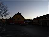
From the parking lot of the Trojane catering company, continue along the asphalt road in the direction of Izlak. The road first leads us along a scenic ridge, then descends gently to the hamlet of V V Zideh, where we leave the main road towards Izlake and continue left towards the village of Šentgotard. We follow the road towards Šentgotard for only a few metres, and then the signs for Čemšeniška mountain pasture direct us to the right, to a marked footpath, which returns to the road after only a few minutes.
The road then leads to Šentgotard, where you pass the Church of St. Gotthard on your left. When the village ends, you reach the next crossroads. Continue to the right towards Čemšenika, Dobrljevo and Brezje (Prvine and Limovce on the left) and walk along the asphalt road for a few minutes, then the signs for Čemšeniška mountain pasture direct you to the marked footpath on the sharp left. The footpath quickly widens into cart track, which will take you up to the crossroads at Ovčji jame in a few minutes.
From the crossroads, follow the road eastwards (direction Čemšeniška mountain pasture) to the edge of the forest, and from there to a marked footpath, which soon crosses a worse forest road. Continue climbing through the forest for some time, then reach a dirt road leading to Prviny. Follow it to the left, and after a few minutes you will see the signs for Čemšeniška mountain pasture, which point you sharp right to the folded cart track. After a few metres, cart track splits into two parts, and we choose the upper left cart track, which turns into a steeper mountain path higher up. Higher up, we return to the road, and we walk along it to the parking lot at Prviny.
Here we pass the nearby Hotel D on the left, and the road leads us to the ski slope of the Prvine ski resort, from where we have a nice view. Leave the road here and continue slightly to the right on the cart track, which climbs across the ski slope and then into the forest, where it gradually turns into a wide path. A moderate ascent through the forest for a few minutes is followed, then a wide cart track is reached, which is followed for a few steps to a marked crossroads. Continue straight ahead (sharp right and down Izlake, Čemšenik, Kisovec. . . ) along the path which gradually passes along the edge of steep grassy slopes. The ascent continues along the edge of the viewing slopes, which offer a beautiful view of the surrounding countryside and the nearby hills. Higher up, the path descends to steep slopes, over which you can walk in a few minutes to the mountain pasture hut at Čemšeniška.

Pictures:
 1
1 2
2 3
3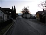 4
4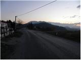 5
5 6
6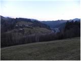 7
7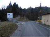 8
8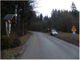 9
9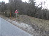 10
10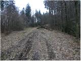 11
11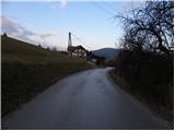 12
12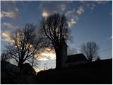 13
13 14
14 15
15 16
16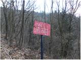 17
17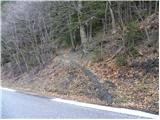 18
18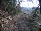 19
19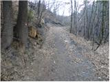 20
20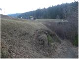 21
21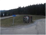 22
22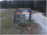 23
23 24
24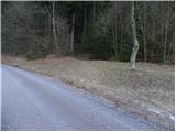 25
25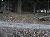 26
26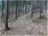 27
27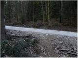 28
28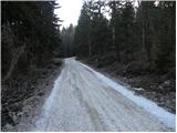 29
29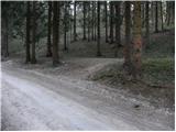 30
30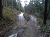 31
31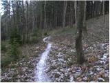 32
32 33
33 34
34 35
35 36
36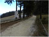 37
37 38
38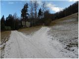 39
39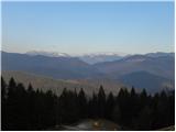 40
40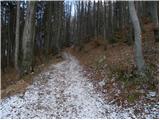 41
41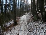 42
42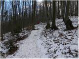 43
43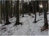 44
44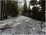 45
45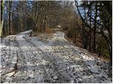 46
46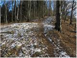 47
47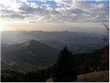 48
48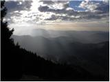 49
49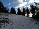 50
50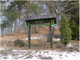 51
51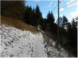 52
52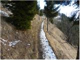 53
53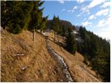 54
54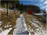 55
55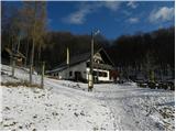 56
56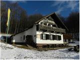 57
57
Discussion about the trail Trojane - Koča na Čemšeniški planini