Starting point: Trojane (561 m)
| Lat/Lon: | 46,1879°N 14,8828°E |
| |
Time of walking: 1 h 30 min
Difficulty: easy unmarked way
Altitude difference: 287 m
Altitude difference po putu: 345 m
Map: Posavsko hribovje - zahodni del 1:50.000
Recommended equipment (summer):
Recommended equipment (winter):
Views: 6.174
 | 2 people like this post |
Access to the starting point:
From the motorway Ljubljana - Maribor, take the exit Trojane, then continue along the parallel old road towards Trojane and Domžale. Our starting point is located in the immediate vicinity of the Trojane Restaurant Company. We park somewhere nearby, as only guests are allowed to park in front of the catering company.
Path description:
From the parking lot of the Trojane Restaurant, walk to the bus stop and then carefully cross the main road. On the other side of the road, climb the steep steps and continue left above them. After a few steps, you will reach a marked path, and we follow it to the right between the houses to the nearby registration box.
From the registration box, the path, which follows a rough road, starts to descend towards the valley of the Bolska stream. When you reach the valley, take the wider dirt road and follow it to the left. Continue up the valley for some time and then the road will recede slightly to the left. Continue ascending cross-country to the right, crossing a large number of small streams and wells, which tend to dry up on dry days. Higher up, you reach a marked crossroads, where you continue along a wider macadam road on the left, along which there are also signs for the "Lipovc pasture". From the crossroads onwards, the road climbs for a short time, then gradually begins to descend and leads to the next crossroads.
Here, continue right towards pasture Lipovec (straight ahead Špilk and Kekec), where you first cross a fence, and then walk for two minutes to a shepherd's hut in the aforementioned pasture.
Go around the shepherd's hut on the left and immediately after it continue to the right to the nearby water trough. Leave the path at the water trough and continue the ascent along the easier trackless path, heading towards the nearby summit, which is reached after 5 minutes of further walking.

Pictures:
 1
1 2
2 3
3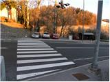 4
4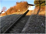 5
5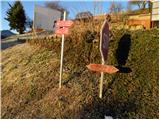 6
6 7
7 8
8 9
9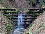 10
10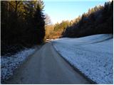 11
11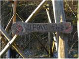 12
12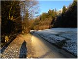 13
13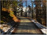 14
14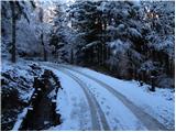 15
15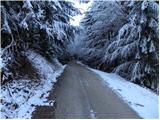 16
16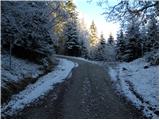 17
17 18
18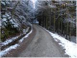 19
19 20
20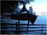 21
21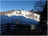 22
22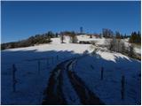 23
23 24
24 25
25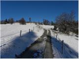 26
26 27
27 28
28 29
29 30
30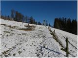 31
31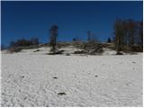 32
32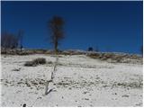 33
33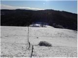 34
34 35
35 36
36 37
37 38
38 39
39 40
40
Discussion about the trail Trojane - Lipovec
|
| bruny20. 12. 2011 |
Ja očitno en  zanimiv vrh nad pašnikom Lipovec, ki pa je bil žal skrit  v megli ko sem hodil po Rokovnjaški planinski poti proti Špilku... V smeri iz Lipovca gledano nekako proti Prvinam nad Trojanami sta še dva vrha in sicer Reznarca z višino 913 metrov in Vrhe 899 metrov. Malo me zanima, če ju je že kdo obiskal oziroma ali sploh vodijo nanju kakšne konkretne poti. Na medmrežju je malo !? podatkov. Med Reznarco in Špilkom bi se naj nahajal tudi križ...O Reznarci sem dobil informacijo, da je bila pred kakšnim letom točka ene od avantur društva pustolovec Rajd. Predvidevam  , da sta manj obiskana od Lipovca in Špilka...
|
|
|