Trojane - Špilk (past the cross Na Kočni)
Starting point: Trojane (561 m)
| Lat/Lon: | 46,1879°N 14,8828°E |
| |
Name of path: past the cross Na Kočni
Time of walking: 2 h 15 min
Difficulty: easy marked way
Altitude difference: 395 m
Altitude difference po putu: 450 m
Map: Posavsko hribovje - zahodni del 1:50.000
Recommended equipment (summer):
Recommended equipment (winter):
Views: 4.397
 | 2 people like this post |
Access to the starting point:
From the motorway Ljubljana - Maribor, take the exit Trojane, then continue along the parallel old road towards Trojane and Domžale. Our starting point is located in the immediate vicinity of the Trojane Restaurant Company. We park somewhere nearby, as only guests are allowed to park in front of the catering company.
Path description:
From the parking lot of the Trojane Restaurant, walk to the bus stop and then carefully cross the main road. On the other side of the road, climb the steep steps and continue left above them. After a few steps, you will reach a marked path, and we follow it to the right between the houses to the nearby registration box.
From the registration box, the path, which follows a rough road, starts to descend towards the valley of the Bolska stream. When you reach the valley, take the wider dirt road and follow it to the left. Continue up the valley for some time and then the road will recede slightly to the left. Continue ascending cross-country to the right, crossing a large number of small streams and wells, which tend to dry up on dry days. Higher up, you reach a marked crossroads, where you continue along a wider macadam road on the left, along which there are also signs for the "Lipovc pasture". From the crossroads onwards, the road climbs for a short time, then gradually begins to descend and leads to the next crossroads.
Continue straight on in the direction of the Rokovnjaška cesta (right pasture Lipovec) and after a few steps left on the wide cart track over which there is a ramp (here leave the officially marked path and continue on the old marked path). The wide cart track or worse road turns sharp left after a few minutes, and in the middle of the curve in a straight direction continue on the second cart track, at which you will also see a marking. The cart track along which we continue our journey leads us just a little further on to a kind of turning point, from which we continue slightly to the left on the relatively steep forest logging trail. We continue to climb the initially wide logging trail, which lies higher and then splits several times. At all crossroads, continue in roughly the same direction, aided by occasional faded markings. There is a short descent and then we arrive at a clearing and a small pass. On the other side of the clearing, the path returns to the forest and leads to the Na Kočni cross, after which continue left into the forest. The trail continues briefly through a dense forest before crossing another clearing. When we return to the forest, look out for the right fork of the "marked" path to Špilk. Continue along the above-mentioned marked path and in three minutes climb to the top of Špilka, in the middle of which stands a small bivouac.

Pictures:
 1
1 2
2 3
3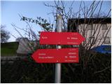 4
4 5
5 6
6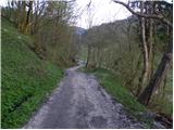 7
7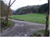 8
8 9
9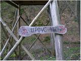 10
10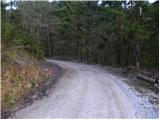 11
11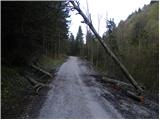 12
12 13
13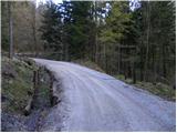 14
14 15
15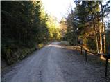 16
16 17
17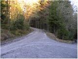 18
18 19
19 20
20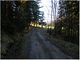 21
21 22
22 23
23 24
24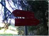 25
25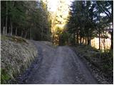 26
26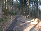 27
27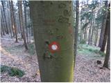 28
28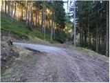 29
29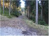 30
30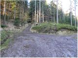 31
31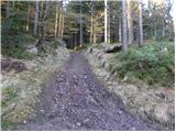 32
32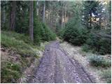 33
33 34
34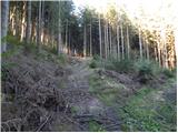 35
35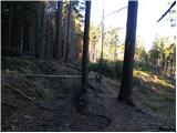 36
36 37
37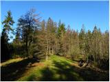 38
38 39
39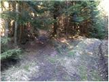 40
40 41
41 42
42 43
43 44
44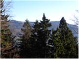 45
45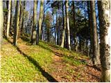 46
46 47
47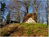 48
48
Discussion about the trail Trojane - Špilk (past the cross Na Kočni)
|
| bruny12. 05. 2013 |
Danes v nedeljo 12.05.2013 z boljšo polovico aktivnost - bi rekel sprehod po navedenem opisu do slike - fotke št.29. kjer sva zavila na levo in se preko 913 metrov visoke Reznarce, 866 metrov visokega Javorja in neimenovanege vrha oziroma kote z višino 689 metrov vrnila nazaj na Trojane. Zanimiva pot že delno zaraščena ampak še vedno dovolj prehodna nad potokom Bolska, ki je verjetno  nekoč - v času z manj tehnike - bolj služila namenu za vezavo Trojan v svet Šipka in dalje...Drobna miniatura, brez nepotrebne GPS navlake in fotkiča na željo žene za kar nekaj novih spoznanj o prostoru severozahodno... dober streljaj ali dva nad Trojanami.
|
|
|