Tržič (Čegelše) - Robič (via Zavetišče na Kalu)
Starting point: Tržič (Čegelše) (580 m)
| Lat/Lon: | 46,3706°N 14,3068°E |
| |
Name of path: via Zavetišče na Kalu
Time of walking: 2 h 55 min
Difficulty: easy unmarked way
Altitude difference: 804 m
Altitude difference po putu: 850 m
Map: Karavanke - osrednji del 1:50.000
Recommended equipment (summer):
Recommended equipment (winter): ice axe, crampons
Views: 277
 | 1 person likes this post |
Access to the starting point:
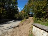
Take the Tržič, then turn left off Predilniška cesta in the direction of Podljubelj. Continue through the old town centre, still following the signs for Podljubelj at the crossroads. The way ahead leads along the Koroška Road, where you will soon see small gardens on the right, followed by a mountain sign for Kofce past Završnik. At the sign the described route starts, but as there are no parking spaces at the starting point, we have to park higher up the road, or in the centre of Tržič.
Path description:
From the asphalt road, the signs for Kofce direct you to cart track, which starts to climb moderately. cart track first crosses the slopes to the left and then turns into an undistinguished valley where a marked trail branches slightly to the left from cart track (if you follow cart track you will arrive at a climbing area). Continue on the marked path and after a minute or two return to cart track and we follow it to the left. We continue on the new cart track, from which we soon turn left, and the fork is harder to see because of the dispersion.
The way forward leads along a gently sloping mountain path which crosses the slopes to the left. A little further on, another path joins us from the left, and just a few 10 steps further on we arrive at a small ridge where an unmarked path branches off to the right towards Veliki vrh above Završnik.
Continue on the marked trail, which climbs for a while through the forest, then leads past a small cottage. A little further on, the path widens into cart track, and along it you reach the Završnik farm, where you pass the houses on the left. Continue along the access road for a short distance, then turn right and cross another road a few steps further on.
Continue towards Kofce, quickly reaching the next cart track, which climbs with initially fine views towards Dobrča and Begunjščica, then cart track turns into a forest. Higher up, partly by cart track and partly by marked shortcuts. There is a short scenic part and from the right we join the path leading from the centre of Tržič and passing through Kamnek.
Continue along the gently sloping path, which crosses the slopes of Kobel, and then leads out of the forest to the Kal saddle, where there is a marked crossroads.
Continue slightly to the right towards Kofce and in a few 10 steps of further walking you will reach the Shelter on Kal.
From the shelter, continue along the macadam road, where you will quickly reach a marked crossroads, where the "direct" route to Dom na Kofcah branches off to the left, and we continue straight ahead and continue along the macadam road. There is a cross-country climb along the dirt road, which occasionally opens up a nice view of Kamnik Savinja Alps, and the marked path past the chapel towards mountain pasture Kofce then turns left off the road into the bank, and we follow the road to a nearby crossroads.
From the crossroads, continue right (a sharp left will take you to Kofce) and gradually start descending, and the road descends into a dense forest, where you will reach a junction of macadam roads.
Continue straight on the less steep cart track, which continues between the two roads and soon becomes quite steep. As we climb the cart track, we get a good view of the western peaks of Košuta as we look back, but higher up the path turns left and in a few minutes takes us to a ridge where it turns right and turns into a fainter path. Just a little further on, we step out of the forest into a small clearing, where we reach the summit, and we continue from the summit for about 2 minutes on a fainter path, which leads us to a scenic peak.
Tržič (Čegelše) - Zavetišče na Kalu 2:00, Zavetišče na Kalu - Robič 0:55.

Pictures:
 1
1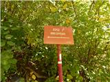 2
2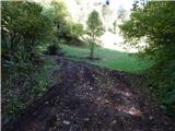 3
3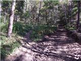 4
4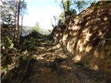 5
5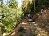 6
6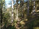 7
7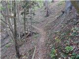 8
8 9
9 10
10 11
11 12
12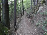 13
13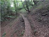 14
14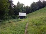 15
15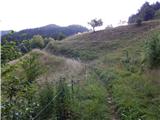 16
16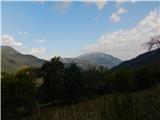 17
17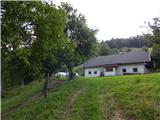 18
18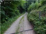 19
19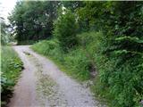 20
20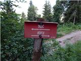 21
21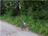 22
22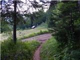 23
23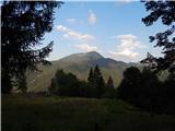 24
24 25
25 26
26 27
27 28
28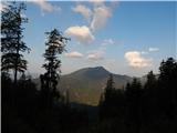 29
29 30
30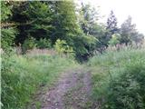 31
31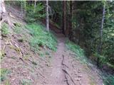 32
32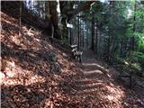 33
33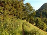 34
34 35
35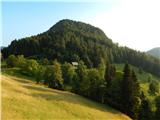 36
36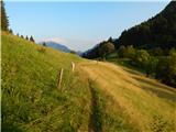 37
37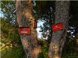 38
38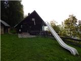 39
39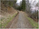 40
40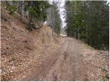 41
41 42
42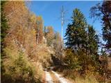 43
43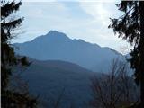 44
44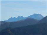 45
45 46
46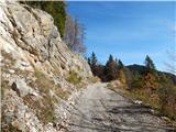 47
47 48
48 49
49 50
50 51
51 52
52 53
53 54
54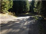 55
55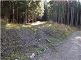 56
56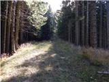 57
57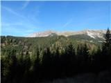 58
58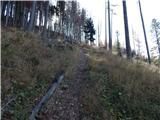 59
59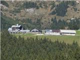 60
60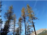 61
61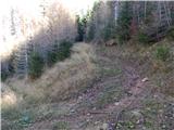 62
62 63
63 64
64 65
65 66
66 67
67
Discussion about the trail Tržič (Čegelše) - Robič (via Zavetišče na Kalu)