Tržič - Kamnek (Milanova pot)
Starting point: Tržič (530 m)
| Lat/Lon: | 46,3647°N 14,3103°E |
| |
Name of path: Milanova pot
Time of walking: 1 h 5 min
Difficulty: easy unmarked way
Altitude difference: 343 m
Altitude difference po putu: 355 m
Map: Karavanke - osrednji del 1:50.000
Recommended equipment (summer):
Recommended equipment (winter): ice axe, crampons
Views: 2.830
 | 1 person likes this post |
Access to the starting point:
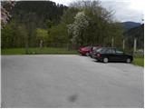
From the motorway Ljubljana - Jesenice take the exit Ljubelj (Tržič), then turn right downhill before the petrol station in Bistrica pri Tržiču, where you will quickly reach Tržič. At the junction after the Mercator shop, turn left towards the Tržič Museum, and we continue along Koroška Road, which we follow through the town centre to the nearby pizzeria. Here, turn right through the old courtyard gate and then pass the pizzeria's guest parking lot and the children's playground to the parking lot next to the castle.
You can also park elsewhere in Tržič.
Path description:
From where you parked, first walk to the pizzeria, then continue along the asphalt road in the route Dobrča through Ravne and Kofc past Završnik. The road we are walking on soon splits, and this time we continue on the upper road (slightly left Dobrča), which leads us past a few more houses and a sign (cross). A few 10 metres further on from the cross, at a place where there is a sign for speed bumps, we continue slightly to the right, on a side road, which we follow up to the nearby allotments. Follow the minor road up above the allotments, where the path leads to a waterworks building, which you pass on the right-hand side. Above the waterworks, the road finally changes to cart track, and then into the woods, through which it climbs moderately to steeply. The higher, wider cart track, which we continue along, turns left, and then, just before its end, we leave it and continue sharp right, on the well-trodden and well-surfaced Milanovo trail. The path continues to climb with occasional bends and occasional views, and then leads to a small saddle to the north of Kamnek.
Here we continue to the right (Kofce to the left, the Waterfall to the right, and the sharp right trail that bypasses the summit of Kamnek and then descends to Tržič) and continue along the initially still vegetated ridge, which we then follow to the summit a few minutes away.

Pictures:
 1
1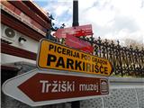 2
2 3
3 4
4 5
5 6
6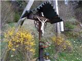 7
7 8
8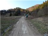 9
9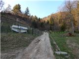 10
10 11
11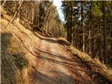 12
12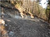 13
13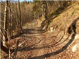 14
14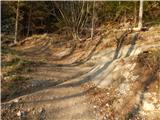 15
15 16
16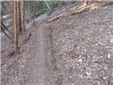 17
17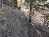 18
18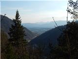 19
19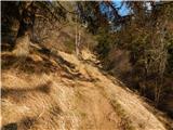 20
20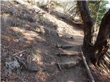 21
21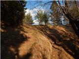 22
22 23
23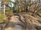 24
24 25
25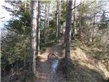 26
26 27
27 28
28
Discussion about the trail Tržič - Kamnek (Milanova pot)
|
| sirt113. 04. 2017 |
Vedno je bil Kamnek.
Poglej sliko 23.
|
|
|
|
| peterr15. 04. 2017 |
To ne bo čisto držalo že l.1857 je ljudski pesnik Vojteh Kurnik objavil pesem Teržiška dolina file:///C:/Users/Peter/Documents/Downloads/Terika_URN-NBN-SI-DOC-UTUFU9R9%20(1).pdf v kateri se pojavi tudi Kamnjek pa Viktor Kragelj v svojih Zgodovinskih drobcih župnije Tržič l. 1936 in še na kakšnem starem zemljevidu ga lahko najdeš . V Gorenjcu 1910 (št 19 14. maj) piše da je Kamnjek last gradu Neuhaus (pod opombo pa razloži): *) Kamnjek se zove skalovito in strmo brdo na severni strani Tržiča nad graščino Neuhaus. Dobje imenujejo Tržicani vzhodne obronke gore Dobre«, na desnem bregu Mošeniškega potoka; Kokovnico pa zapadni rob Kriške gore na levem bistriškem bregu.( Glej na str. 3 in 4 Dopisi - popis Tržiča) file:///C:/Users/Peter/Documents/Downloads/Gorenjec_URN-NBN-SI-DOC-WZ5EKU5B%20(1).pdf Z leti in rabo se nekatera imena spreminjajo kar pa ne pomeni da tista iz pred mnogo let niso prava oziroma, da jih nikoli ni bilo.
|
|
|
|
| Tadej15. 04. 2017 |
Iz PD Tržič so mi odgovorili, da je pravilno Kamnek.
|
|
|
|
| sirt116. 04. 2017 |
Peter
Imena in še izgovorjava imen!
|
|
|