Starting point: Tržič (577 m)
| Lat/Lon: | 46,3607°N 14,3095°E |
| |
Time of walking: 3 h 15 min
Difficulty: easy marked way
Altitude difference: 1138 m
Altitude difference po putu: 1175 m
Map: Karavanke - osrednji del 1:50.000
Recommended equipment (summer):
Recommended equipment (winter): ice axe, crampons
Views: 12.862
 | 1 person likes this post |
Access to the starting point:
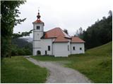
From the Ljubljana - Jesenice motorway, take the Ljubelj exit and follow the road towards Ljubelj and Tržič. Just a few metres before the petrol station, leave the main road and turn right towards Tržič. In Tržič, by the Mercator shop, turn right and after a short climb past blocks of flats, the road leads to a crossroads where you continue to the right. Follow the narrow road for only 200 m, then at the crossroads turn sharp left onto the ascending macadam road, which quickly leads to the Church of St Joseph, the starting point for our tour.
Path description:
Near the church, you will see mountain direction signs directing you to the right on the ascending footpath. The path climbs moderately through the forest at first, then joins the wide cart track, which you follow to the right. Cart track soon ends and turns into an increasingly steep footpath. A relatively steep path through the forest ahead leads past Mala Mizica (764 m) to Velika Mizica (976 m), where there is a beautiful viewpoint.
From the viewpoint, continue along the marked trail, which begins to climb even steeper. Higher up, the path dips slightly and continues along a pleasant wooded ridge. A little further on, the path retreats slightly to the right, to the grassy slopes of Kriška Gora (a beautiful view southwards to the Gorenjska and Škofjeloško hribovje). The path further on lays down a little more and after a few minutes of further walking leads us to a crossroads where the path from the village of Križe (or from the Forest steep path) joins us from the right.
We continue along a much more beaten track, which leads us in a moderate ascent, initially still partly through the forest, to the top of the grassy slopes. Here the path is completely laid and within a few minutes of a scenic walk leads us to the hut on Kriški gori.
From the hut on Kriški hora, continue along the marked mountain path towards Tolstego vrh. The way forward initially climbs gently over the grassy slopes of Kriška gora, and then leads us to the main ridge, from where we have a view of the precipitous north side. The path ahead immediately follows the ridge to the right, crosses a less distinct peak called Vrata (1591 m) and then climbs moderately along and along the ridge. The path, from which increasingly fine views open up, leads us higher up to a very scenic headland, from which a short but relatively steep descent follows. The path then passes into the lane of a forest, where it begins to climb steeply. After a few minutes of steep ascent, you emerge from the forest and see Tolsti vrh in front of you, which you reach after a further 10 steps.

Pictures:
 1
1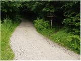 2
2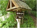 3
3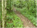 4
4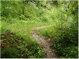 5
5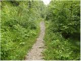 6
6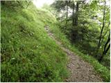 7
7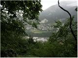 8
8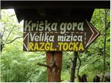 9
9 10
10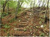 11
11 12
12 13
13 14
14 15
15 16
16 17
17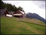 18
18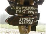 19
19 20
20 21
21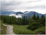 22
22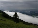 23
23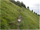 24
24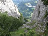 25
25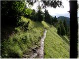 26
26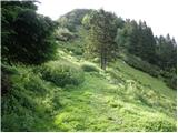 27
27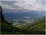 28
28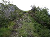 29
29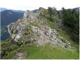 30
30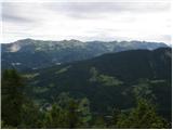 31
31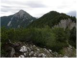 32
32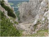 33
33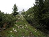 34
34 35
35
Discussion about the trail Tržič - Tolsti vrh
|
| Kanjanez18. 03. 2019 |
Včeraj bila s kolegom; priporočam dereze, saj je na poti še (zmrznjen) sneg.
|
|
|
|
| Urshyka66619. 07. 2020 |
Izhodisce je v bistvu cerkev sv. Jozefa...so pa v blizini tudi table za pot "via Alpina"
|
|
|