Tržič - Zavetišče na Kalu (via Kamnek)
Starting point: Tržič (530 m)
| Lat/Lon: | 46,3647°N 14,3103°E |
| |
Name of path: via Kamnek
Time of walking: 2 h 40 min
Difficulty: easy marked way
Altitude difference: 582 m
Altitude difference po putu: 700 m
Map: Karavanke - osrednji del 1:50.000
Recommended equipment (summer):
Recommended equipment (winter): ice axe, crampons
Views: 4.295
 | 1 person likes this post |
Access to the starting point:
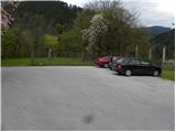
From the motorway Ljubljana - Jesenice take the exit Ljubelj (Tržič), then turn right downhill before the petrol station in Bistrica pri Tržiču, where you will quickly reach Tržič. At the junction after the Mercator shop, turn left towards the Tržič Museum, and we continue along Koroška Road, which we follow through the town centre to the nearby pizzeria. Here, turn right through the old courtyard gate and then pass the pizzeria's guest parking lot and the children's playground to the parking lot next to the castle.
Path description:
From the parking lot next to the castle, first descend the stairs and then turn left along the wide path, which offers a beautiful view of Tržič. Just a little further on, you reach the chapel, where you continue straight ahead in the direction of the Radetzky Trail. Continue up the ascent along the gently sloping path, then an arrow on a tree points to the right, where you will quickly reach the nearby allotments. Above the allotments, the path enters the woods and starts to climb steeply. The well-marked trail continues past a couple of crossroads and then gradually moves on to an increasingly scenic ridge. Here, a marked trail branches off slightly to the left, bypassing the Kamnek peak, and we continue slightly to the right and, after 3 minutes of further walking, climb to the Kamnek lookout (Kamnik on the maps).
From Kamnek we continue straight ahead along the ridge, which is still overlooked, and then the trail turns into a low forest and begins to descend. When the path is laid, the path to the Waterfall branches off to the right, and the above-mentioned path joins from the left, bypassing Kamnek.
Continue straight ahead and begin a gentle to moderate climb along the ridge of Pirmance. When the ridge becomes quite steep, the waymarked path turns left onto slightly less steep slopes, over which you continue crosswise to the right. After a few minutes the forest thins out a little and the path returns to the ridge, which is reached just at the small pass between the summits of Pirmance and Veliki vrh.
Here an unmarked trail branches off slightly to the left to Velika peak above Završnik (5 minutes), and we continue slightly to the right to the east side of the mountain, where we continue to cross the slopes of Velika peak. The slope quickly flattens out and the path leads us to a grassy ridge, along which we descend to the nearby road, enjoying the beautiful views. Cross the wide macadam road and continue the ascent along the wide cart track in the direction of Kofc. At a nearby weekend house, cart track ends, and we continue slightly right on a forest path which starts to climb steeply through the forest. The path continues to lead us along an occasionally quite steep ridge, and then both the path and the slope lay down and lead us to cart track. After cart track we descend to a small pass, where the path from the Završnik farm joins us from the left, and we continue slightly to the right and continue along a wide and gently sloping path, which in 10 minutes of further walking takes us to Kala, where there is a crossroads of several paths. Here, continue slightly to the right and walk a few steps to the nearby Shelter on the Kale.

Pictures:
 1
1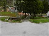 2
2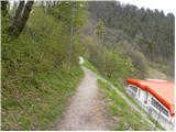 3
3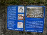 4
4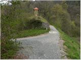 5
5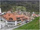 6
6 7
7 8
8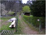 9
9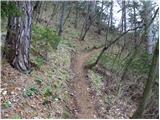 10
10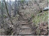 11
11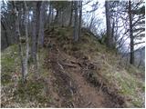 12
12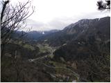 13
13 14
14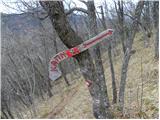 15
15 16
16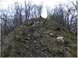 17
17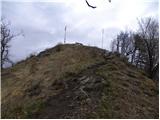 18
18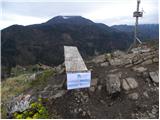 19
19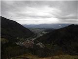 20
20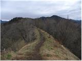 21
21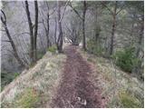 22
22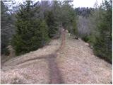 23
23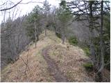 24
24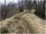 25
25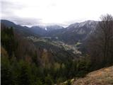 26
26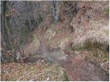 27
27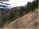 28
28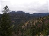 29
29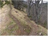 30
30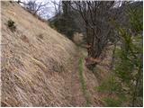 31
31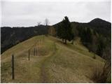 32
32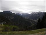 33
33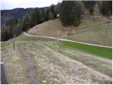 34
34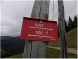 35
35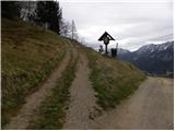 36
36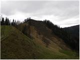 37
37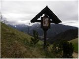 38
38 39
39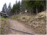 40
40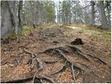 41
41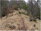 42
42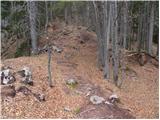 43
43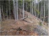 44
44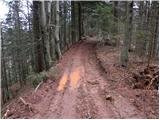 45
45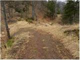 46
46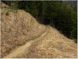 47
47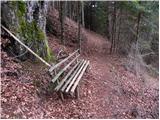 48
48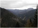 49
49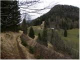 50
50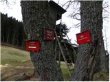 51
51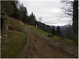 52
52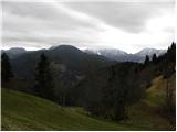 53
53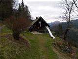 54
54
Discussion about the trail Tržič - Zavetišče na Kalu (via Kamnek)
|
| Ana Fila9. 05. 2020 |
Zelo prijeten izlet. Sprva strm, potem položen in nato spet strm. Prelepa okolica in dobro označeno.
|
|
|