Türlwandhütte - Hoher Dachstein (Super Ferrata)
Starting point: Türlwandhütte (1695 m)
| Lat/Lon: | 47,4501°N 13,61762°E |
| |
Name of path: Super Ferrata
Time of walking: 8 h 30 min
Difficulty: extremely difficult marked way
Ferata: E
Altitude difference: 1300 m
Altitude difference po putu: 1600 m
Map:
Recommended equipment (summer): helmet, self belay set
Recommended equipment (winter): helmet, self belay set, ice axe, crampons
Views: 30.065
 | 3 people like this post |
Access to the starting point:
Drive through the Karavanke Tunnel into Austria, then continue along the Tauern motorway. We continue through the Katschberg Tunnel and later the Thuringian Tunnel / Tauerntunnel, and follow the motorway to Salzburg (also Solnograd) only as far as the exit for Radstadt, Schladming. Continue on the road to Schladming and then turn left onto the ascending road after the Ramsau signs. In Ramsau, continue along the road for a further 2 km and then turn right onto the toll road, where you will be directed by signs for the gondola lift. Follow this road until you reach the large parking lot in front of the lower gondola station.
Path description:
From the parking lot, continue past the lower cable car station past the Südwandhütte signs. The path initially follows the right-hand side of the cable car through a sparse larch forest before turning left and crossing the slopes to the west. Soon a path branches off to the right towards the climbing kindergarten (Klettergarten). Continue crossing the slopes to the west and the path from the lower starting point joins from the left. From the crossroads, it is then about 10 minutes' walk along the view slope to the Südwandhütte hut.
From the hut, follow the signs "Klettersteig Anna" and cross the slope in a gentle descent to the north. The path quickly leads to a crossroads where you continue downhill to the left and straight ahead towards the Johann climbing route. From the crossroads, the path descends slightly steeper, past the rare dwarf pines, and leads to the crossroads again. This time continue to the right after the "Klettersteig Anna" signs, and to the left the path leads down towards the mountain pasture Glösalm and Bachalm. The path then soon leads to scree which we cross for a while, and then a signpost points slightly to the right, and a straight path leads to the Adamek Hütte. The trail is then marked with red dots and after a short climb leads to the entrance to the climbing part of the trail.
The climbing route climbs up an almost vertical pillar from the very beginning and is aided by a number of rungs (difficulty C/D). The route then becomes slightly less difficult and soon turns to the right where it climbs along a rope along a steep rocky slope. This is followed by another more difficult climb with the aid of wedges, which leads to a place called Mittersteinköpfl (C). The route then turns left and there is a short traverse to smooth slabs (B). The route then climbs up the smooth slabs (B/C) and then climbs steeply with the aid of wedges (C). This is followed by a climb up a very steep couloir (C/D). Further on, the route becomes a shade less difficult (up to B/C), but continues to be very exposed. In the last part, the route becomes more difficult again and climbs up a vertical smooth wall (D) with the help of a number of wedges. The route then gradually becomes less difficult and is followed by a climb along a less difficult ridge to the top. From the top, continue along the ridge and after a short descent join the direct path from the Südwandhütte hut.
The trail, marked with red dots, then crosses the slopes to the west. In early summer, there may be snowfields on this part of the trail. The trail then turns right and climbs on scree to the entrance to the Johann Klettersteig climbing route.
The climbing route initially climbs along a steel cable towards the wall (difficulty C), followed by a short traverse to the left, which leads to the entrance overhang, which is the most difficult point on the whole route (difficulty E). Although there are rungs to help you over the overhang, it still requires a lot of strength in the arms to climb up. From the overhang, which is not too long, there is a steep climb with the help of wedges (difficulty D). For a short time the path becomes a shade easier (difficulty B), and then climbs steeply again along the steel (difficulty C/D). The path then climbs up a steep slope for some time (difficulty up to B/C), and then leads to a short, gentle section where you can rest.
The path becomes more difficult again and initially climbs along a steel track (C), leading to an even steeper part of the path. After this, we climb up a mostly vertical wall for some time, aided by a number of rungs (C/D). Higher up, when we reach a place called Adlerhorst (2470 m), the route becomes even more exposed and climbs up a vertical smooth wall (D). The vertical climb is relatively long, but even on this part of the route we are helped by a number of rungs, which make the climb easier. The path then leads to a slightly wider ledge on which there are a lot of rocks, so we have to be very careful not to trigger the rocks.
On the ledge, the path turns slightly to the right and after a short steep climb (C/D) leads to a registration box at 2500 m. The trail becomes slightly less demanding and only occasionally climbs steeper. In the last part of the route towards the hut, the more difficult parts become more frequent (difficulty up to D). At the very end of the Johann climbing route, there is an exposed exit traverse which leads to the Seethalerhütte hut. At the hut, which is located in the immediate vicinity of the glacier, we have a beautiful view to the north and of the mountains above the glacier. From the hut, continue along a wide, well-maintained path on the glacier, which begins to descend gently. Soon you will come to a bend where the trail turns right downhill. At this point, leave this path and head firmly left towards the eastern ridge of Hoher Dachstein. As you ascend the glacier, you will also cross a glacial crevasse, which is marked with a warning sign. At this point the glacier is still relatively low and we soon reach the rocky slopes of the eastern ridge where we leave the glacier.
To reach the start of the protected route, you first have to climb about 20 metres from the glacier on a rather steep unprotected slope. It is recommended to belaying with a rope on this part. The initial steep part can be avoided by continuing on the glacier for a short distance and then taking a sharp left and climbing up a narrow gully to a belayed route. In this part the glacier is a shade steeper, but we cross another small crack.
When you reach the protected path, continue to climb quite steeply along the east ridge (difficulty B). The path then becomes a shade less steep and runs along the right side of the ridge. Later, the path turns right from the ridge and, after crossing a ledge, joins the path over the glacier.
At the crossroads, continue left and start climbing again at a slightly steeper gradient (B). The path climbs steeply a few more times with the aid of pegs and crampons, and soon reaches the summit.
The route described is extremely difficult and is rated E. It is also very long, so it is suitable only for experienced mountaineers with sufficient fitness and plenty of strength in their arms.
From the summit, follow the ascent path to the glacier and then follow the well-maintained path that leads along the steel cable to the upper station of the gondola lift. Alternatively to the cable car, you can also descend on foot via the Hunerscharte notch (difficulty B).

Pictures:
 1
1 2
2 3
3 4
4 5
5 6
6 7
7 8
8 9
9 10
10 11
11 12
12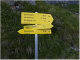 13
13 14
14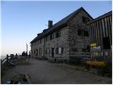 15
15 16
16 17
17 18
18 19
19 20
20 21
21 22
22 23
23 24
24 25
25 26
26 27
27 28
28 29
29 30
30 31
31 32
32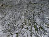 33
33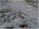 34
34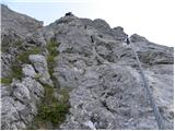 35
35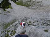 36
36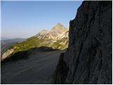 37
37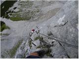 38
38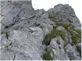 39
39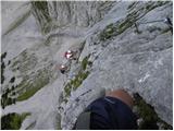 40
40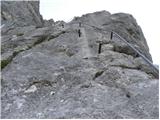 41
41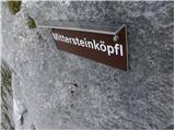 42
42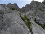 43
43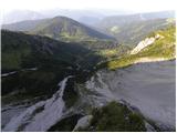 44
44 45
45 46
46 47
47 48
48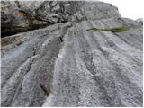 49
49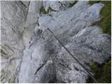 50
50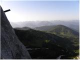 51
51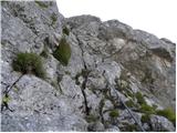 52
52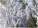 53
53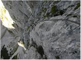 54
54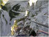 55
55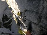 56
56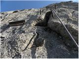 57
57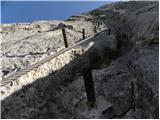 58
58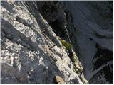 59
59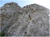 60
60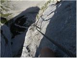 61
61 62
62 63
63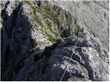 64
64 65
65 66
66 67
67 68
68 69
69 70
70 71
71 72
72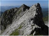 73
73 74
74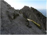 75
75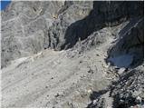 76
76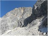 77
77 78
78 79
79 80
80 81
81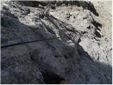 82
82 83
83 84
84 85
85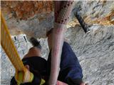 86
86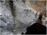 87
87 88
88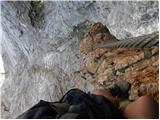 89
89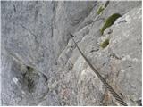 90
90 91
91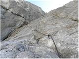 92
92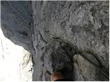 93
93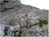 94
94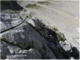 95
95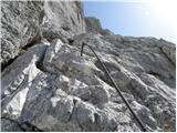 96
96 97
97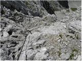 98
98 99
99 100
100 101
101 102
102 103
103 104
104 105
105 106
106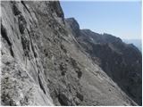 107
107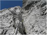 108
108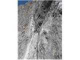 109
109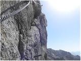 110
110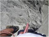 111
111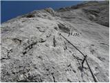 112
112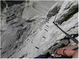 113
113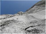 114
114 115
115 116
116 117
117 118
118 119
119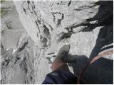 120
120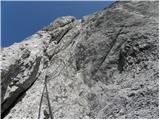 121
121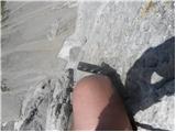 122
122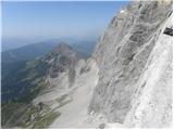 123
123 124
124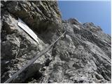 125
125 126
126 127
127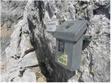 128
128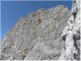 129
129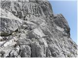 130
130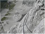 131
131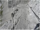 132
132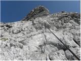 133
133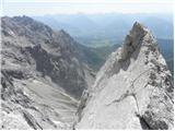 134
134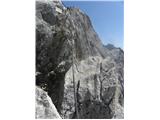 135
135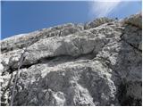 136
136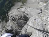 137
137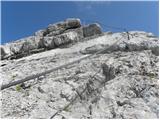 138
138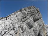 139
139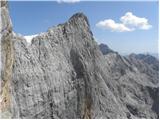 140
140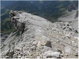 141
141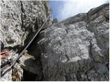 142
142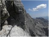 143
143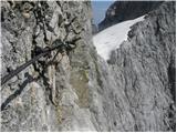 144
144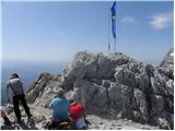 145
145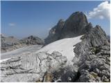 146
146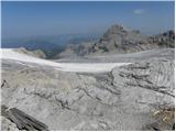 147
147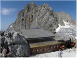 148
148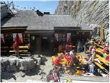 149
149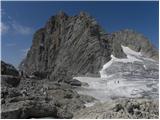 150
150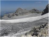 151
151 152
152 153
153 154
154 155
155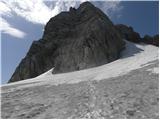 156
156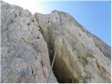 157
157 158
158 159
159 160
160 161
161 162
162 163
163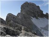 164
164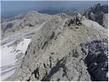 165
165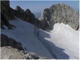 166
166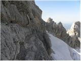 167
167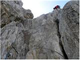 168
168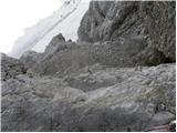 169
169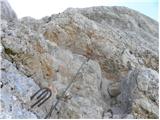 170
170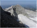 171
171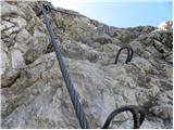 172
172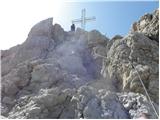 173
173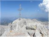 174
174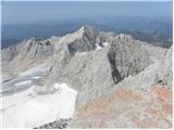 175
175 176
176
Discussion about the trail Türlwandhütte - Hoher Dachstein (Super Ferrata)
|
| Alesko197128. 09. 2011 |
Včeraj 27.9.. smo 4prijatelji preplezali tole zadevo. Hvala avtorju za izjemno točen opis - boljši ne bi mogel biti.
Sam bi dodal le to, da je ferata izjemno fizično zahtevna zaradi dolžine, zgolj odlična kondicija v nogah je premalo. Treba je biti "fit" tudi v rokah.
|
|
|
|
| urbancek28. 09. 2011 |
Čestitke, ja, zgleda kar noro.. 
|
|
|
|
| dprapr28. 09. 2011 |
Ja, Johann kar na začetku (s previsom) napravi selekcijo! Lepa ferata, ni kaj! Še posebej v povezavi z vrhom. Čeprav nisem ljubitelj ferat!
|
|
|
|
| vanja130. 09. 2011 |
Pozdravljeni !
Sem en od 4 zgoraj omenjenih, prijavil sem se pa samo zato, da lahko napišem, da gre za mamo vseh ferat. Gate ti odtrga, tolk je dobra.
|
|
|
|
| jurakjernej30. 09. 2011 |
Pozdravljen!
Kje vse ste nabirali izkušnje preden ste se odločili za to zelo zahtevno ferato?
lp
|
|
|
|
| vanja130. 09. 2011 |
Zdajle bom za večino vas dal zelo "neodgovoren" odgovor :
30 let sem razmišljal, da bi preplezal kaj takega, vmes pa obiskal Garadaland in še kak adrenalinski park.
Po 30 letih opazovanja hribov od daleč pa sem se v 3 tednih spravil na Triglav/Plemenice, Prisojnik/skozi okno, Mojstrovko/Hanz, Mangart/Via ferratta in Dachstein/Anna+Johan.
Tu se moje izkušnje končajo, ostali trije pacienti pa imajo več gorniških izkušenj.
Za na Dachstein ni treba da si nor ampak pomaga.
Pač vsakemu svoje. Jest bom šel letos zanesljivo še enkrat, spustil pa bom vrh in namesto njega predelal t.i. Skywalk.
|
|
|
|
| Alesko19715. 10. 2011 |
V glavnem nenehno letamo po naših gorah; Kopiščarjeva na Prisank, Rekarjeva na Vrbanove špice, Hanzova na Malo Mojstrovko,Via Italiana z belopeških itd. ... so solidna priprava na zajlo. Kar se pa tiče Dachsteina, pa je mnogo daljša, bolj izpostavljena in nasploh korak naprej v tem smislu. Fizična kondicija ter dobra oprema sta dobitna kombinacija.
|
|
|
|
| vanja16. 10. 2011 |
No včeraj sem uresničil napoved s 30.09. in še enkrat predelal Anno in Johana, odrekel pa sem se vzponu na vrh in se raje lotil Skywalk-a.
In tu se muke v resnici začnejo.
Ker opisa te poti na tem naslovu nisem našel, navajam malo opisa - bolj kot opozorilo.
Torej vstop v ferato je z ledenika najprej po ferati ranga B navzdol. Omenjena ferata je omenjena na hribi.net kot dostop na Dachstein. Nekje na sredini se odcepi pot proti Skywalku.
Najprej sledi neproblematično rahlo prečenje v levo ob jeklenici ranga C. Nato sledi resnično vertikalni vzpon ranga D in kasneje še previsnega E. Klini so kot biseri, zato podvig spominja na prosto plezanje. Ker gre za popolno vertikalo je počivanje pogojno možno samo z vponko za počivanje. Na celi poti je samo eno mesto kjer lahko položiš rit, a se kljub temu držiš, da ne padeš iz stene. Možnosti za prehitevanje NI, prav tako NI poti nazaj. Torej opozarjam vse, tudi tiste v odlični fizični formi, da tu 70% naredijo roke in da je morebitna utrujenost zaradi samega vzpona na Dachstein lahko velik problem.
Kljub samo 150 višinskim metrom, vzpon traja cca. 1h, z dostopom pa 1,5h.
Ob upoštevanju zgoraj navedenega pa GO FOR IT.
Ferata je res nekaj posebnega, odličen razglded (zelo luftig), tehnično zelo zanimiva ker je praktično brez klinov/skob, sicer pa zelo dobro zavarovana. Zajla je namreč vpeta na vsaka 2 metra.
|
|
|
|
| jurakjernej7. 10. 2011 |
super opis, v šoli bi zato dobil čisto 5.  imaš kakšne slike? lp
|
|
|
|
| geppo7. 10. 2011 |
Odpri novo temo: trenutne razmere, tuja gorstva itd. - tam pa jih lahko naložiš ( tu jih ne moreš )
Lp
|
|
|
|
| vanja17. 10. 2011 |
Inštalirano.
Avstrija, severne apneniške alpe, Skywalk.
|
|
|
|
| CarpeDiem2478. 10. 2011 |
Po telih slikah človek ugotovi zakaj se reče Super ferrata! 
|
|
|
|
| aonuk19. 10. 2011 |
Drugo leto probam 100%, moram videti to (mamo ferat)
Kolko je km z avtom ,iz Ljubljane?
lp Vinko
|
|
|
|
| vanja19. 10. 2011 |
Cca. 250.
Sicer pa je hribovje okrog Dachsteina s svojimi navpičnimi stenami, kot naročeno za izdelavo t.i. umetnih ferat.
Umetne naj bi bile tiste, kjer ni cilj vrh, ampak pot.
Tako se v neposredni bližini nahaja še zelo zanimiva ferata IRG, v steni nasproti Johana pa sem videl plezalce, ki so po mojem mnenju pripravljali teren za novo ferato na Dachstein. Če je vrtalni stroj standardna oprema današnjih prostih plezalcev se pač motim.
|
|
|
|
| mvrenc9. 10. 2011 |
Čestitam, iznimni podvig!Možda ne ludo, ali hrabro svakako! Divne slike i to sa teških pozicija, svaka čast!
|
|
|
|
| Kita4. 02. 2012 |
der johan in skywalk sta dve iz med biserov avstrijskih ferat... v ta rang pa sodijo tudi kaiser max klettersteig E,seewand klettersteig E,kupfergeist klettersteig D,E ,konigsjodler D,sauleck klettersteig D,E ,nasenwand klettersteig E, kaiser franz josef D,rosslochhohlen klettersteig E....
|
|
|
|
| CarpeDiem2474. 02. 2012 |
Živi norci tile naši severni sosedje. Kaj takega bi lahko počasi probal Ljubitelj gora, kot pravi Ferrata-r! 
|
|
|
|
| CarpeDiem2474. 02. 2012 |
Kukr vidim po slikah, ti bo tole izziv po meri! 
|
|
|
|
| jurakjernej5. 02. 2012 |
kita ne govor kaj so biseri, če še nisi bil višje od šelihovega silosa 
|
|
|
|
| Kita6. 02. 2012 |
sej tebe tud po navad začne kr noga bolet ko je treba kam zlezit...
|
|
|
|
| enes20. 02. 2012 |
Pozdrvljeni! Ima se kdo v planu letos opraviti to ferato?
|
|
|
|
| DD20. 02. 2012 |
zivjo.
letos imam z druzbo namen opravit tudi to ferrato ter se nekatere druge extremne in super ferrate po avstriji in nemciji ter zelo in izjemne zahtevne po italiji.
lp
|
|
|
|
| Kita20. 02. 2012 |
po tem pa sklepam da že imaš kar veliko preplezanih ferat višjega težavnostnega razreda?Jaz imam v planu falbach,pfaffenstain,grunstein,postalmklam,sisi klettersteig,če mi to vse zlaufa bo kr dost....
|
|
|
|
| Poprck17. 06. 2012 |
Včeraj 16.6.2012 preplezal opisano kombinacijo ferat z zaključkom na vrhu Hoher Dachsteina.
Izredno lepa in zahtevna tura v čudovitem ambientu.
Edina slaba reč pri vsej tej dogodivščini je velika gneča ljudi, tako v feratah kot na ledeniku. Možna rešitev v izogib temu je morda resnično zgoden štart ob cca. 4h, ker ob šestih je že vse polno.LGP U
|
|
|
|
| Poprck17. 06. 2012 |
In še če komu pride prav trenutni stroški: Avstrijska vinjeta 10 dnevna 8EUR (zanimivo da je naša 15EUR samo 7 dnevna  ) Tunelnina Karavanke 13EUR (dvosmerna), Tunelnina Katschberg 20EUR (dvosmerna), Kabinska Dachstein na ledenik 20 EUR (enosmerna za odraslega) karta se uveljavi potem na izhodu tudi namesto cestnine, v primeru da ne kupite te karte, pride cestnina 6,5EUR na osebo (za odraslega) bencina gre cca. za 60EUR (v obe smeri) iz okolice Kranja
|
|
|
|
| Poprck17. 06. 2012 |
Morda še to, vožnja traja cca. 2,3 ure po avtocesti A11 in A10, izvoz je za Eben in nato preko Filzmoosa do odcepa za Dachsteinbahn -Talstation Na Seethalerhutte pri izstopu iz Johanna je pol litra vode 0,5EUR, sok 3,5EUR OBVEZNO SONČNA OČALA ZA LEDENIK OB SONČNEM VREMENU!!! NEVARNOST SNEŽNE SLEPOTE Oprema: Plezalni pas in set za ferate in ne navaden štrik in vponke http://www.youtube.com/watch?v=jOzhOs9SAws&feature=related in obvezno še eno krajšo zanko z vponko za počivanje ali možnost čakanja v vrsti Obvezno še cepin in dereze! - Vmesna snežišča! In še osebno mnenje, piše da je Anna lažja od Johanna vendar sem sam drugačnega mnenja, je sicer krajša vendar pa ima na ključnih mestih manj klinov za stopanje kot v Johannu kjer je kot da lezeš po lojtrci, razen v vstopnem kaminu, samo v vednost.
|
|
|
|
| Poprck17. 06. 2012 |
In ko je v steni vrsta, pomislite, da lahko tisti nad vami zdrsne in pade direktno na vas, kar se za oba ne bi dobro končalo, tako da je dobro imet vsaj za dva klina razlike.
|
|
|
|
| sjazbec819. 08. 2012 |
Res je ssuuper!Dolga,izpostavljena,lepo speljana,dobro vzdrževana.Vertikale so dolge,drzno speljane.Potrebno je imeti precejšno moč v rokah in nogah!!Težko je prehitevanje-zato vam ostane dosti časa za panoramske užitke.Predstavljate si lahko,kot,da ste v navezi sredi mogočne stene..Na vrhu,vas čaka koča.Čaka vas še sprehod čez ledenik-in po steni,grebenu(gužva!,podobno,kot bi šli Triglav)na vrh2995m visoki Dachstain. 
|
|
|
|
| felix6. 06. 2013 |
Ali obstaja kje opis poti z zgornje postaje žičnice po "običajni" poti na vrh in časovnice?
Hvala in lp.
|
|
|
|
| dprapr6. 06. 2013 |
Kaj ni zgoraj naveden opis od koče naprej na vrh?
Do koče se pa samo sprehodiš po običajno steptani trasi od zgornje postaje žičnice(cca pol ure)!
Vse skupaj cca 1,5 ure.
Lp
|
|
|