Türlwandhütte - Kleiner Koppenkarstein (via Hunerscharte)
Starting point: Türlwandhütte (1695 m)
| Lat/Lon: | 47,4501°N 13,61762°E |
| |
Name of path: via Hunerscharte
Time of walking: 4 h 15 min
Difficulty: very difficult marked way
Ferata: B/C
Altitude difference: 1137 m
Altitude difference po putu: 1150 m
Map:
Recommended equipment (summer): helmet, self belay set
Recommended equipment (winter): helmet, self belay set, ice axe, crampons
Views: 2.996
 | 3 people like this post |
Access to the starting point:
Skozi karavanški predor se zapeljemo v Avstrijo, nato pa z vožnjo nadaljujemo po Turski avtocesti. Naprej se peljemo skozi predor Katschberg in pozneje še Turski predor / Tauerntunnel, mi pa avtocesti proti Salzburgu (tudi Solnograd) sledimo le še do izvoza za Radstadt, Schladming. Po cesti nadaljujemo do kraja Schladming kjer nato nadaljujemo levo na vzpenjajočo se cesto za oznakami Ramsau. V kraju Ramsau nadaljujemo še dobra 2 km po omenjeni cesti, nato pa zavijemo desno na plačljivo cesto, kamor nas usmerijo table za gondolsko žičnico. Tej cesti nato sledimo vse do velikega parkirišča pred spodnjo postajo gondolske žičnice.
Path description:
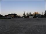
From the parking lot, continue past the lower cable car station past the Südwandhütte signs. The path initially follows the right-hand side of the cable car through a sparse larch forest before turning left and crossing the slopes to the west. Soon a path branches off to the right towards the climbing kindergarten (Klettergarten). Continue crossing the slopes to the west and the path from the lower starting point joins from the left. From the crossroads, it is then about 10 minutes' walk along the view slope to the Südwandhütte hut.
At the hut, continue to the right, following the Hunerscharte markers, and climb the short grassy ridge above the hut. The path then leads to the southern, mostly grassy slopes below the summit of Scheiblingstein. Cross the slopes in a gentle ascent to the east and the path leads to the valley below the gondola lift. Here the path turns left and starts to climb up the valley. As we climb up the valley we have a fine view of the Türlspitz peaks, and soon we also have a view of the Hunerkogl peak, which is reached by the gondola lift. The trail continues along the right side of the valley and starts to climb a little steeper. Higher up, the trail turns slightly to the left and climbs on scree, which leads to the more difficult part of the trail.
The path initially climbs alongside a steel cliff, then becomes a shade steeper and we are helped by a few wedges and staples. We continue climbing along the steel cable and soon come under the Hunerkogel wall where the extremely difficult Skywalk Klettersteig climbing route branches off to the left.
Here the route turns to the right and starts to climb steeply along the steel cable with the help of many wedges and crampons (difficulty B). The route then becomes a little less steep for a short time (difficulty A/B), and then climbs again along a steep couloir with the help of wedges towards the Hunerscharte (B) notch.
At the notch where the view to the north opens up, continue to the right, following the Koppenkarstein markers. After a short climb, you will quickly reach the start of the protected path to Koppenkarstein. The trail climbs along a sheltered ridge (difficulty B) from which there is a very nice view of the Schladminger Glacier below. The path along the ridge then leads to a large signboard for air traffic, which is visible from a distance. Continue along the ridge and after a slightly steeper climb (B) the path leads to a suspension bridge. Just before the bridge there is also a crossroads where you can go around the bridge on the left. Cross the long suspension bridge over the Austriascharte notch and continue along the ridge. The path then climbs a little steeply for a short time on a narrow ridge (B/C), followed by a slightly less steep climb along a ropeway on a scenic ridge to the summit of Kleiner Koppenkarstein.

Pictures:
 1
1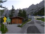 2
2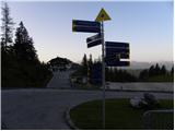 3
3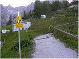 4
4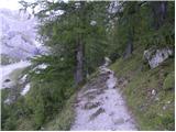 5
5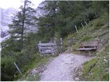 6
6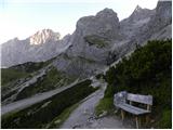 7
7 8
8 9
9 10
10 11
11 12
12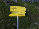 13
13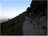 14
14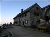 15
15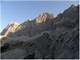 16
16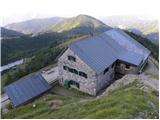 17
17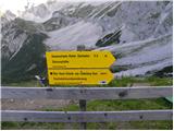 18
18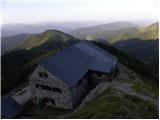 19
19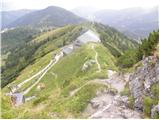 20
20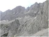 21
21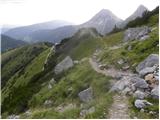 22
22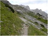 23
23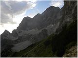 24
24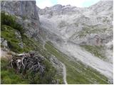 25
25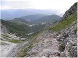 26
26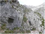 27
27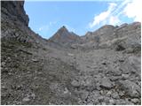 28
28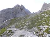 29
29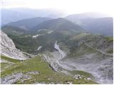 30
30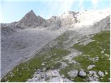 31
31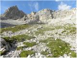 32
32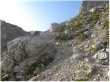 33
33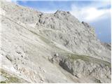 34
34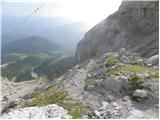 35
35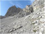 36
36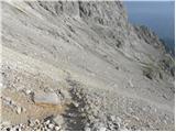 37
37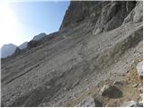 38
38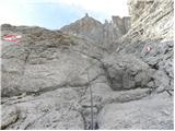 39
39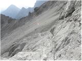 40
40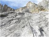 41
41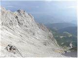 42
42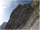 43
43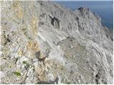 44
44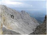 45
45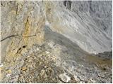 46
46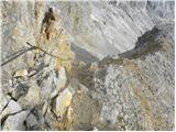 47
47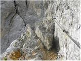 48
48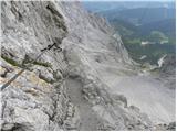 49
49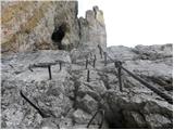 50
50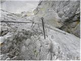 51
51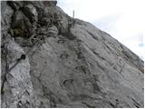 52
52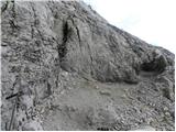 53
53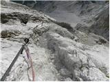 54
54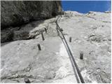 55
55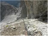 56
56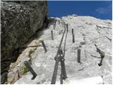 57
57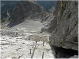 58
58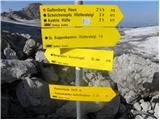 59
59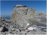 60
60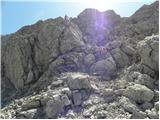 61
61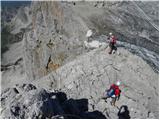 62
62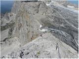 63
63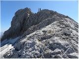 64
64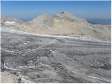 65
65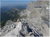 66
66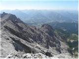 67
67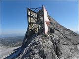 68
68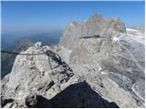 69
69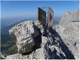 70
70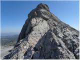 71
71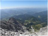 72
72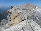 73
73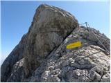 74
74 75
75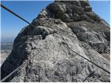 76
76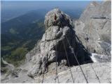 77
77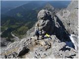 78
78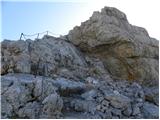 79
79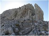 80
80 81
81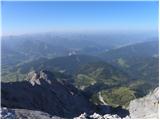 82
82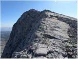 83
83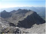 84
84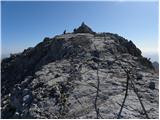 85
85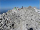 86
86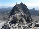 87
87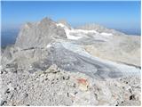 88
88
Discussion about the trail Türlwandhütte - Kleiner Koppenkarstein (via Hunerscharte)