Türlwandhütte - Seethalerhütte (Johann Klettersteig)
Starting point: Türlwandhütte (1695 m)
| Lat/Lon: | 47,4501°N 13,61762°E |
| |
Name of path: Johann Klettersteig
Time of walking: 5 h 30 min
Difficulty: extremely difficult marked way
Ferata: E
Altitude difference: 1045 m
Altitude difference po putu: 1100 m
Map:
Recommended equipment (summer): helmet, self belay set
Recommended equipment (winter): helmet, self belay set, ice axe, crampons
Views: 3.634
 | 2 people like this post |
Access to the starting point:
Drive through the Karavanke Tunnel into Austria, then continue along the Turkish Autobahn. We continue through the Katschberg Tunnel and later the Thuringian Tunnel / Tauerntunnel, and follow the motorway to Salzburg (also Solnograd) only as far as the exit for Radstadt, Schladming. Continue on the road to Schladming and then turn left onto the ascending road after the Ramsau signs. In Ramsau, continue along the road for a further 2 km and then turn right onto the toll road, where you will be directed by signs for the gondola lift. Follow this road until you reach the large parking lot in front of the lower gondola station.
Path description:
From the parking lot, continue past the lower cable car station past the Südwandhütte signs. The path initially follows the right-hand side of the cable car through a sparse larch forest before turning left and crossing the slopes to the west. Soon a path branches off to the right towards the climbing kindergarten (Klettergarten). Continue crossing the slopes to the west and the path from the lower starting point joins from the left. From the crossroads, it is then about 10 minutes' walk along the view slope to the Südwandhütte hut.
From the hut, follow the "Johann Klettersteig" signs and cross the slope in a gentle descent to the north. The path quickly leads to a crossroads where a path branches off to the left down towards the Anna climbing route. We continue straight on and soon come to scree. Here the path turns left and starts to climb. The trail continues to climb gently for the most part and crosses the slopes to the west. Later, the path leads to a small saddle where the Anna climbing route, which leads over the Mitterstein peak, joins us from the left.
The path, marked with red dots, continues to cross the slopes to the west. In early summer, there may be snowfields on this part of the route. The trail then turns right and climbs on scree to the entrance to the Johann Klettersteig climbing route.
The climbing route initially climbs along a steel cable towards the wall (difficulty C), followed by a short traverse to the left, which leads to the entrance overhang, which is the most difficult point on the whole route (difficulty E). Although there are rungs to help you over the overhang, it still requires a lot of strength in the arms to climb. From the overhang, which is not too long, there is a steep climb with the help of wedges (difficulty D). For a short time the path becomes a shade easier (difficulty B), and then climbs steeply again along the steel (difficulty C/D). The path then climbs up a steep slope for some time (difficulty up to B/C), and then leads to a short, gentle section where you can rest.
The path becomes more difficult again, initially climbing along a steel track (C), and leads to an even steeper part of the path. The route then climbs up a mostly vertical wall for some time, aided by a number of rungs (C/D). Higher up, when you reach a place called Adlerhorst (2470m), the route becomes even more exposed and climbs up a vertical smooth wall (D). The vertical climb is relatively long, but even on this part of the route you will find a number of rungs to help you climb up. The path then leads to a slightly wider ledge on which there are a lot of rocks, so you have to be very careful not to trigger the rocks. On the shelf, the trail turns slightly to the right and after a short steep climb (C/D) leads to a registration box at 2500m. The trail becomes slightly less demanding and only occasionally climbs steeper. In the last part of the route towards the hut, the more difficult parts become more frequent (difficulty up to D). At the very end of the Johann climbing route, there is an exposed exit traverse which leads to the Seethalerhütte hut. At the hut, which is located in the immediate vicinity of the glacier, we have a beautiful view to the north and of the mountains above the glacier.
The route described is extremely difficult and is rated E. It is also relatively long, so it is suitable only for experienced mountaineers with sufficient fitness and plenty of strength in their arms.
Descend along a well-maintained path that leads across the glacier to the upper station of the gondola lift. Alternatively to the cable car, you can also descend on foot via the Hunerscharte notch (difficulty B).

Pictures:
 1
1 2
2 3
3 4
4 5
5 6
6 7
7 8
8 9
9 10
10 11
11 12
12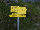 13
13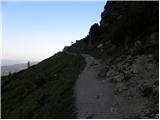 14
14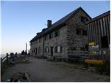 15
15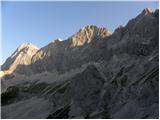 16
16 17
17 18
18 19
19 20
20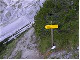 21
21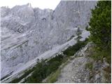 22
22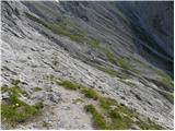 23
23 24
24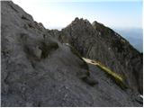 25
25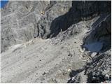 26
26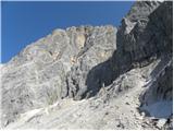 27
27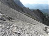 28
28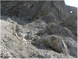 29
29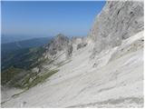 30
30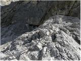 31
31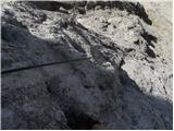 32
32 33
33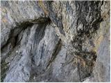 34
34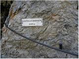 35
35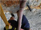 36
36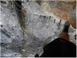 37
37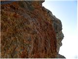 38
38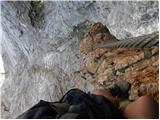 39
39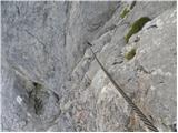 40
40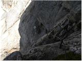 41
41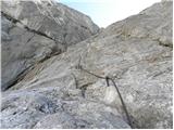 42
42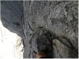 43
43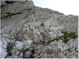 44
44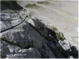 45
45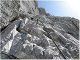 46
46 47
47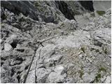 48
48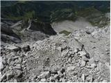 49
49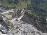 50
50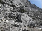 51
51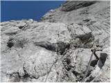 52
52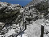 53
53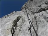 54
54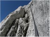 55
55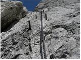 56
56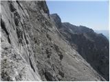 57
57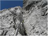 58
58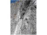 59
59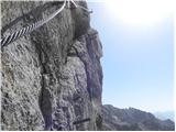 60
60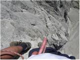 61
61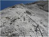 62
62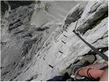 63
63 64
64 65
65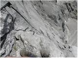 66
66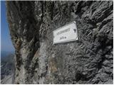 67
67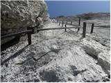 68
68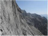 69
69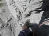 70
70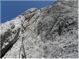 71
71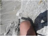 72
72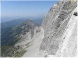 73
73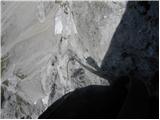 74
74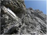 75
75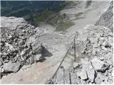 76
76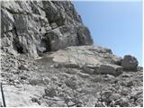 77
77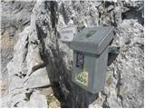 78
78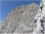 79
79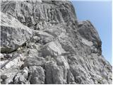 80
80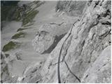 81
81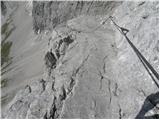 82
82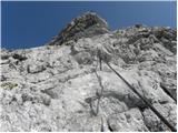 83
83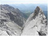 84
84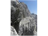 85
85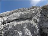 86
86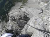 87
87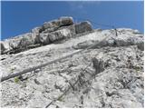 88
88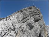 89
89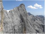 90
90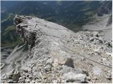 91
91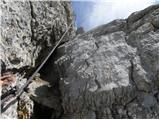 92
92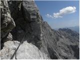 93
93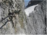 94
94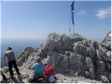 95
95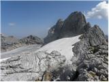 96
96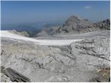 97
97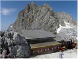 98
98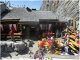 99
99
Discussion about the trail Türlwandhütte - Seethalerhütte (Johann Klettersteig)
|
| Johann13. 07. 2015 |
To je taprava stvar 540m ferate z izredno lepim in izpostavljenim 100metrov visokim vertikalnim stebrom nekje na sredini ferate... 
|
|
|