Starting point: Turški klanec (1101 m)
| Lat/Lon: | 45,9888°N 13,8146°E |
| |
Time of walking: 1 h 30 min
Difficulty: easy marked way
Altitude difference: 309 m
Altitude difference po putu: 350 m
Map: Goriška 1:50.000
Recommended equipment (summer):
Recommended equipment (winter): ice axe, crampons
Views: 11.847
 | 1 person likes this post |
Access to the starting point:
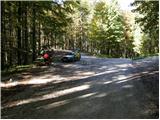
First, drive to Lokve (to get here from Nova Gorica or Most na Soči), then continue in the direction of Predmeja. Soon after, as the road goes into the forest, you will come to a crossroads, at which you will see a bench, a table and some rubbish bins. Park here in a suitable place by the crossroads.
Access is also possible from Predmeja. In this case, drive along the road towards the village of Lokve, and then, shortly after passing Malo Lazno, pay attention, as you will soon come to a crossroads at which you park (the crossroads is located at the road sign between 8 and 8. 5 km).
Path description:
Just a few metres away from the table and the bench, you will see signs for Mrzovec on a side road, pointing to the left to cart track. Take the aforementioned cart track, which soon splits in two. Continue on the right-hand cart track, following it for only 5 metres, and then you will see faded markings on a tree, which direct you to the left to the slightly narrower, but quite steep cart track. After a few minutes of climbing, the path gives way and we continue right along the marked path, which continues with a few short ascents and descents. The path continues through a dense forest, then climbs moderately and leads us to a nearby forest road. Follow the road to the left, and we walk along it to the first crossroads, where signs direct us to the right onto a narrower, grassy road. Follow the road to its end, and then, on the left-hand side of the turn-off, you will see the beginning of a forest path leading to Mrzovec. Take the footpath, which climbs moderately at first and then steeply.
There follows about half an hour of very steep ascent, and then the path leads us to the rather overgrown cart track which we follow to the right. Walk along the above-mentioned cart track for only a short time, as the markings then direct us slightly to the left on a footpath which begins to climb towards the top of Mrzovec. After less than 5 minutes of further walking, you will emerge from the forest into an overgrown clearing, after which you will walk to the trigonometric tower at the top of Mrzovec.

Pictures:
 1
1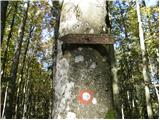 2
2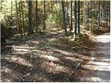 3
3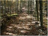 4
4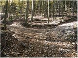 5
5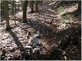 6
6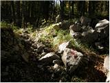 7
7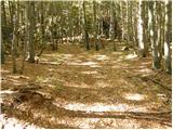 8
8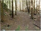 9
9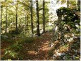 10
10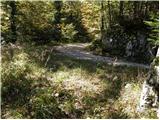 11
11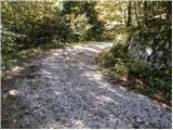 12
12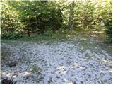 13
13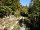 14
14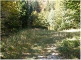 15
15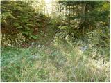 16
16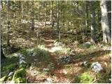 17
17 18
18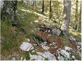 19
19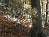 20
20 21
21 22
22 23
23 24
24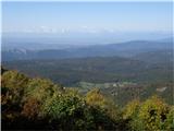 25
25 26
26 27
27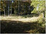 28
28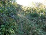 29
29 30
30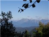 31
31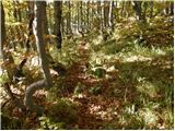 32
32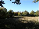 33
33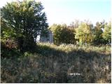 34
34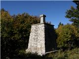 35
35
Discussion about the trail Turški klanec - Mrzovec
|
| klemen7329. 10. 2010 |
... tisto na 25. sliki je še trnovsa planota. Banjša je malo bolj desno. 
|
|
|
|
| kiki8024. 06. 2015 |
Rad bi dopolnil opis poti iz Lokev. Klop, miza in zabojniki, ki so omenjeni v opisu se ne nahajajo takoj, ko gre cesta v gozd ampak se je potrebno z avtom peljati se kak kilometer po gozdu, proti Predmeji. Lahko pa pustite avtomobil na vecjem parkiriscu pred gozdom, ki se ravno tako pohvali s klopjo, mizo ter zabojniki in ta kilometer opravite pes.
|
|
|