Urbas - Bivak na Belščici
Starting point: Urbas (1280 m)
| Lat/Lon: | 46,4344°N 14,134°E |
| |
Time of walking: 1 h 15 min
Difficulty: easy unmarked way
Altitude difference: 470 m
Altitude difference po putu: 470 m
Map: Karavanke - osrednji del 1:50.000
Recommended equipment (summer):
Recommended equipment (winter): ice axe, crampons
Views: 9.087
 | 2 people like this post |
Access to the starting point:
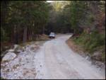
From the motorway Ljubljana - Jesenice take the exit Lesce and follow the road towards Žirovnica and Jesenice. After a few km of driving, you will come to a crossroads where the road to Žirovnica and Moste turns right (from Jesenice, left). Just a few metres further, at the next crossroads, turn left into Moste (right into Žirovnica). Continue past the memorial to the fallen fighters, where the road starts to climb uphill under the railway line. At the top of the hill, turn right (at the Vila Karin sign) and we continue towards Završniškem jezero and Valvasor's home. The road then bends and leads to a crossroads where the road to Valvasor's home branches off to the left. Take the road mentioned above (straight ahead to the cottage at the source of the Završnice River), which begins to climb, first gently and then steeply, along a road that is sometimes quite rough (the steepest parts are asphalted). Higher up, the road leads to a slightly larger junction, where you turn left in the direction of Potoška planina (to the right of the Doslovška mountain pasture). The road then lays down and leads us a little further on to the next crossroads, where the road to Valvasor's house branches off to the right, and we continue along the lower left road, which then continues for some time without any major changes in elevation. The road then leads us past the Ajdno trail junction and then starts to climb steeply on a sometimes quite bad road. The road then re-lays and leads us past Potoška planina to the Urbas well, near which there are a few small car parks.
Path description:
From the parking lot, we first walk to the Urbas well, and here we see a mountain sign for mountain pasture Belščico, which directs us to the initially slightly more difficult to follow footpath. For the first 15 minutes of the walk, the path is only gentle, but then it starts to climb steeply through the forest. Higher up, the forest becomes thinner and thinner and slowly becomes lane of dwarf pines, and the path begins to turn more and more westwards. After a good hour's walk, we step onto grassy slopes and after a few more steps the path leads us to the bivouac at Belščićica (emergency bivouac).
Pictures:
 1
1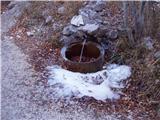 2
2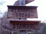 3
3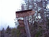 4
4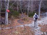 5
5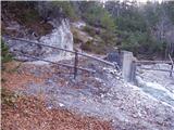 6
6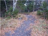 7
7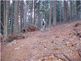 8
8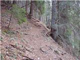 9
9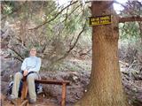 10
10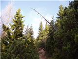 11
11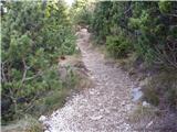 12
12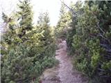 13
13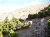 14
14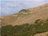 15
15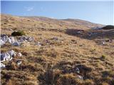 16
16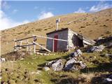 17
17
Discussion about the trail Urbas - Bivak na Belščici
|
| ghost13wolf16. 10. 2013 |
Bivak je v katastrofalnem stanju. Strop in stvari v njem so plesnive, jogiji so vlažni, mišjih ali nevem čigavih drekov je tolk da bi jih lahk z lopato kidal... Hotla sma s kolegom prespat z učeri na danes, pa sma raje odšla v dolino...
|
|
|
|
| viharnik16. 10. 2013 |
Bivak na belščici ni od včeraj v takšnem stanju, pač pa kar precej let.Tako zanemarjenega bivaka oz zgradbe še v življenju nisem videl  .Še vsak plastični premični WC delavcev je boljši, če skozi dimnik eden drugemu, ko gredo na veliko potrebo ne mečejo kamenjev skozi dimnik v školjko  .
|
|
|
|
| ghost13wolf17. 10. 2013 |
Hja, vem po videnem da ni od učeraj... 
|
|
|