Uskovnica (Razpotje) - Tosc
Starting point: Uskovnica (Razpotje) (1215 m)
| Lat/Lon: | 46,3267°N 13,9107°E |
| |
Time of walking: 4 h 15 min
Difficulty: difficult marked way, easy unmarked way
Altitude difference: 1060 m
Altitude difference po putu: 1200 m
Map: Triglav 1:25.000
Recommended equipment (summer):
Recommended equipment (winter): ice axe, crampons
Views: 36.627
 | 1 person likes this post |
Access to the starting point:
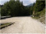
a) Leave the Gorenjska motorway at the exit for Lesce, then follow the signs for Bled and Pokljuka. Continue through Gorje and past the Zatrnik ski resort to Rudni Polje on Pokljuka, where there is a large pay parking lot, and a military barracks and shooting range nearby. From here, continue straight along the macadam road, which leads us a little further to a crossroads, where we turn left in the direction of Uskovnica (right mountain pasture Konjščica). From here, drive another 500 m to the former parking lot above Uskovnica. This area is called Razpotje.
Nowadays, parking is forbidden in this parking lot, so you have to park at Rudno Polje, which will take about 35 minutes longer, or choose the starting point at Uskovnica (Lom).
b) From Železniki or Podbrdo, drive to Bohinjska Bistrica and then continue in the direction of Bled. Shortly after the Petrol station, which is located just after Bohinjska Bistrica, turn left in the direction of Pokljuka and Jereka. The road climbs steeply at first, then gradually flattens out behind Koriti, leading to a junction by the bus station, where you continue right in the direction of Pokljuka, Koprivnik and Jereka (straight ahead Srednja vas). Just after the crossroads we arrive at Jereka, and from the crossroads in front of the church we continue straight on towards Pokljuka (left Podjelje). After Jereka the road starts to climb steeply again, and higher up it levels off and continues along the Mrzle potok. When you join the road from Bled, go left and drive to Rudno Polje, where there is a large pay parking lot, and also a military barracks and shooting range nearby. From here, continue straight on the macadam road, which leads us a little further to a crossroads where we turn left towards Uskovnica (right mountain pasture Konjščica). From here, drive another 500 m to the former parking lot above Uskovnica. This area is called Razpotje.
Nowadays, parking is forbidden in this parking lot, so you have to park at Rudno Polje, which will take about 35 minutes longer, or choose the starting point at Uskovnica (Lom).
Path description:
From the former parking lot at the crossroads, continue along the forest road, closed to public traffic, which begins to descend steeply towards the Ribnica stream gorge. After a short descent, you reach the gorge, over which a wide car bridge leads. The road is laid after the bridge and after a few minutes of further walking leads us out of the forest and onto the vast meadows of Uskovnica.
Here you walk to the nearby chapel, and then continue slightly to the right along the road that runs right next to the chapel (to the left the cottage at Uskovnica, to the right mountain pasture Konjščica). The rather sloping road leads us on across the extensive meadows of Uskovnica, and then leads us to the edge of the forest, where it begins to turn into an initially wide cart track. Cart track, which then starts to climb moderately, has a few forks, and we follow it in the direction of Vodnikov dom and Triglav. Higher up, the cart track, most of which runs through the forest, turns into a footpath, which quickly leads us to a pleasant little spring. At the well, continue straight ahead (hunting lodge on the right) and continue the ascent along the gently sloping path, which leads us slightly further up the steep slopes. Soon after we have reached the steep slopes, the fixed safety gear are helpful in crossing the steep ravine. The route continues along relatively steep and, especially in wet conditions, slippery slopes. While crossing the steep slopes, the path climbs steeply for a short time and then descends again. In the last part of the crossing, some very steep ravines are crossed, over which the path is in places completely destroyed (high risk of slipping). The crossing ends at a large torrent (usually a small spring), after which you enter a softer world of grasses.
A few minutes of easy walking and the path leads to the abandoned mountain pasture Lower Tosc. The way forward begins to climb moderately and soon leads us to a small crossroads where we continue to the sharp right (straight on an old, partly abandoned path) along a well-traced trail. The way forward starts to climb steeper and steeper and quickly leads us out of the belt of sparse forest between dwarf pines, where it starts to turn more and more to the left. The path soon becomes straight and from dwarf pines it leads to grassy slopes over which, within a few minutes' further walking, we climb up to the Pokljuka - Triglav route. Follow the path to the right, and after a few steps it will lead you to the place where the path to Tosc branches off to the left. Continue in the direction of Tosc (the branch is marked) along the unmarked but well-traced path, which begins to climb steeply over the grassy slopes of Tosc. The increasingly steep path slowly turns slightly to the right, then turns sharply to the left and almost completely flattens out. After crossing a short steep slope, the path leads to less steep slopes, where it gradually begins to disappear. The less visible path then turns slightly to the right and starts to climb slightly steeper. After a few minutes of ascent, we reach the unmarked Mali Tosc, which opens up a view of Tosc. A short descent follows and the path leads us past a large sinkhole, which we bypass on the right-hand side, to the summit of Tosc. The way forward climbs moderately over a pleasant grassy slope and after a few minutes of further walking leads us to the top of Tosc.
Orientation is difficult in the fog.

Pictures:
 1
1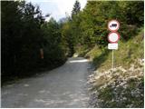 2
2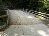 3
3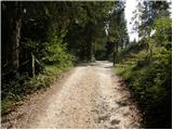 4
4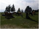 5
5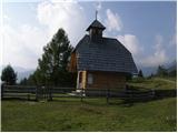 6
6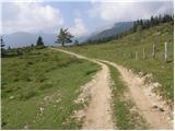 7
7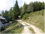 8
8 9
9 10
10 11
11 12
12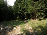 13
13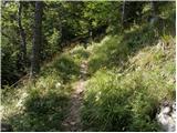 14
14 15
15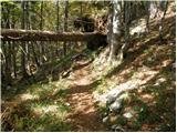 16
16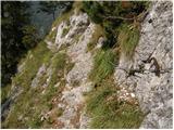 17
17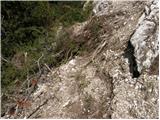 18
18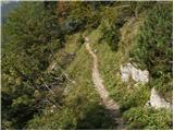 19
19 20
20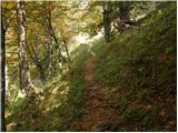 21
21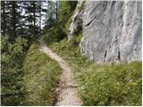 22
22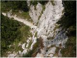 23
23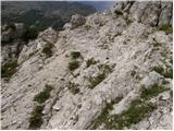 24
24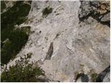 25
25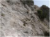 26
26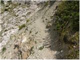 27
27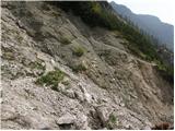 28
28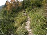 29
29 30
30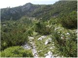 31
31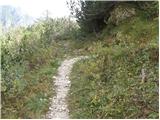 32
32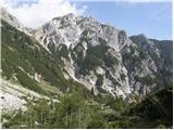 33
33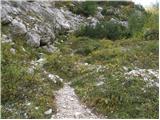 34
34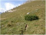 35
35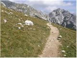 36
36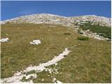 37
37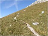 38
38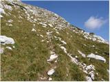 39
39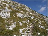 40
40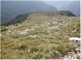 41
41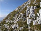 42
42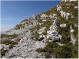 43
43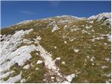 44
44 45
45 46
46 47
47 48
48 49
49 50
50 51
51 52
52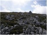 53
53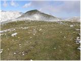 54
54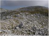 55
55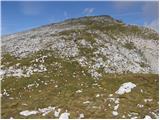 56
56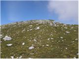 57
57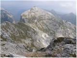 58
58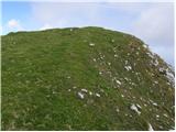 59
59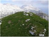 60
60
Discussion about the trail Uskovnica (Razpotje) - Tosc
|
| maateja2. 04. 2012 |
Tri dni nazaj je moj dragi šel po tej poti na Tosc (jaz se regeneriram :jezik  . Pot je v splošnem kopna, nekaj malega snega je še na serpentinah pod potjo okoli Tosca - ravno toliko, da se gojzarji malo očistijo in osvežijo  . Je pa en del poti iz Uskovnice spet poškodovan. Ja,ta pot je zelo ranljiva, že sedaj ima nekaj flajštrov in opornic in odrgnin, ampak je hkrati tako prijetna, lepa, mirna in zmerna.
|
|
|
|
| katty2. 04. 2012 |
Se pravi, da se bo kmalu treba tukej gor povzpet  . Se mi pa zdi, da je ta pot precej neobljudena, in lahko v tem koncu poiščeš tišino in mir. Hvala maateja za tale post, je več kot dobrodošel  .
|
|
|
|
| maateja3. 04. 2012 |
Me veseli, Katty, mislim, da ti bo všeč. Potem pa sporoči, ali imam prav.  Na Razmere sem pod Tosc dala še nekaj slik.
|
|
|
|
| gorskarozica22. 09. 2012 |
V čudovitem vremenu je bil tudi Tosc kar precej obiskan vrh. Topel jesenski sonček, brez vetra, čudovit razgled na okoliške vrhove. Priporočam turo ostalim planincem. 
|
|
|
|
| Laščan5. 07. 2013 |
Ali ve kdo povedati, kako je s poškodovanim delom poti (slika 25 in 269. Je mogoče kaj "popravljeno" oziroma ali je prehod varen ?
Hvala !
|
|
|
|
| Laščan6. 07. 2013 |
Še vedno aktualno vprašanje. Kakšno je stanje na "podrtem" mestu (slika 25. in 26.)?
|
|
|
|
| lubadar6. 07. 2013 |
Sem bil lani jeseni in če se prav spomnim je tam poprvaljeno,sta pa prehoda na sliki 18 in 27 tudi potrebna malo več pazljivosti.
|
|
|
|
| BlackDiamond30. 06. 2015 |
Je pot kje prepadna oz. nevarna za zdrs? Je težja kot Komarča?
|
|
|
|
| zico1030. 06. 2015 |
pot jee neprimerno lazja kot na komarco.... Pot ni nevarna za zdrs....
|
|
|
|
| exwannabe18. 07. 2021 16:13:37 |
Slučajno kdo ve kako je kaj s to potjo, na PZS strani je sicrr zaprta, ampak ne vem kako so kaj ažurni saj je zaprta tudi pot na Krstenico pa je povsem normalno prehodna le orientacijsko malo bolj zahtevno zaradi poseke. 
|
|
|
|
| jax18. 07. 2021 16:24:07 |
Tudi na licu mesta je zaprta s tablo. Kako je v resnici, sicer nisem šel preverjat, sem pa iz druge roke (a dokaj zanesljivih virov) slišal, da naj bi bilo eno prečenje res precej grdo podrto. Zdaj se mora pa vsak sam odločit, a bo šel probat ...
|
|
|
|
| exwannabe18. 07. 2021 18:52:34 |
Hvala, potem bo pa kar druga varianta.
|
|
|
|
| Samorog15. 11. 2022 16:20:08 |
V nedeljo (13.11.2022) prehodil opisano pot, ko sem se s Tosca spuščal na Uskovnico. Čeprav na PZSjevi strani ni označeno, da bi bila pot zaprta, je na kakšnih dveh tretjinah poti v smeri spusta precej grd podor, ki je na samem mestu označen s tablo, na kateri piše, da je pot zaprta. Gre za kakšnih 50 metrov, kjer je potrebna večja previdnost, ampak zaenkrat je še prehodno. V bistvu ne vidim smisla v takšnem načinu označevanja, saj bi se v primeru neprehodnosti poti moral vrniti nazaj na planino Tosc in čez Studorski preval na Rudno polje, kjer sem imel parkiran avto. Označba o zaprtju poti bi morala stati na samem odcepu, ko ima človek še alternativo, da se odloči, če že na PZSjevi strani ni obvestila. Drugače pa res lepa in neobljudena pot.
|
|
|
|
| mukica16. 11. 2022 05:53:11 |
Samorog, ta pot je v tako poškodovanem stanju že več kot 15let.Društvo ,ki je skrbnik poti nič ne popravi,ne obvešča in za skupine je sila neugodna...
|
|
|
|
| KarmenT16. 11. 2022 18:12:30 |
Če prav razumem, se del poti, ki je problematična, imenjuje čez Čiprije. Prehodila letos poleti in je povsem vredu. Na problematičnem delu je narejen obvoz, jeklenice nove. 
|
|
|
|
| Hribolazec8116. 08. 2023 23:14:15 |
Pozdrav, kako je s parkiranjem, je plačljivo?
So velike gužve med vikendi če prispem ob 7 zjutraj na izhodišče?
Hvala
|
|
|
|
| turbo17. 08. 2023 08:34:52 |
|
|
|
|
| Hribolazec8118. 08. 2023 20:18:16 |
turbo, nimamo vsi časa za brskanje, hodimo v službo, po službi še delo, to bi lahko pisalo na tej strani, kakšno je stanje poti  Sem pa bil v torek na Velikem Draškem vrhu iz Rudnega polja, zato mi ni po isti poti za hoditi, konec ceste na pokluki je tudi zaprt (Nimam pojma zakaj)
|
|
|
|
| Enka18. 08. 2023 21:12:36 |
Na koncu opisa poti zgoraj zelo jasno piše:
"Po novem je na omenjenem parkirišču prepovedano parkiranje, zato moramo parkirati že na Rudnem polju, kar nam pot podaljša za približno 35 minut, ali pa izberemo izhodišče Uskovnica (Lom)."
|
|
|